MyTopo
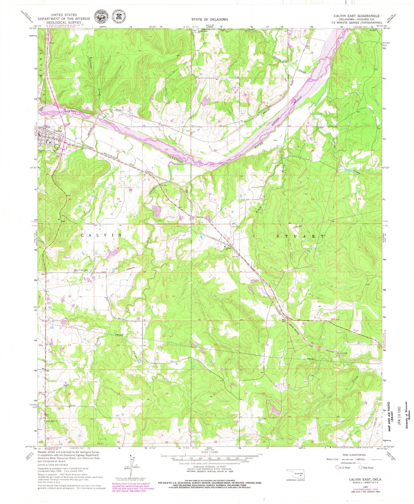
Classic USGS Calvin East Oklahoma 7.5'x7.5' Topo Map
Couldn't load pickup availability
Historical USGS topographic quad map of Calvin East in the state of Oklahoma. Map scale may vary for some years, but is generally around 1:24,000. Print size is approximately 24" x 27"
This quadrangle is in the following counties: Hughes.
The map contains contour lines, roads, rivers, towns, and lakes. Printed on high-quality waterproof paper with UV fade-resistant inks, and shipped rolled.
Contains the following named places: Blue Ridge Cemetery, Calvin, Calvin Elementary School, Calvin High School, Gobbler Creek, Hay Creek, Hilltop Cemetery, Hilltop Church, Jointer Creek, Lindley Robertson Dam, Lindley Robertson Reservoir, Lobo Field, Peach Creek, Salt Creek, Shawnee Creek, South Hughes Division, Spring Creek, Spring Creek Church, Stanley Huser Dam, Stanley Huser Reservoir, Stony Point Church, Stuart Mountain Airpark, Town of Calvin, Township of Calvin, Township of Stuart