MyTopo
Classic USGS Calvin Louisiana 7.5'x7.5' Topo Map
Couldn't load pickup availability
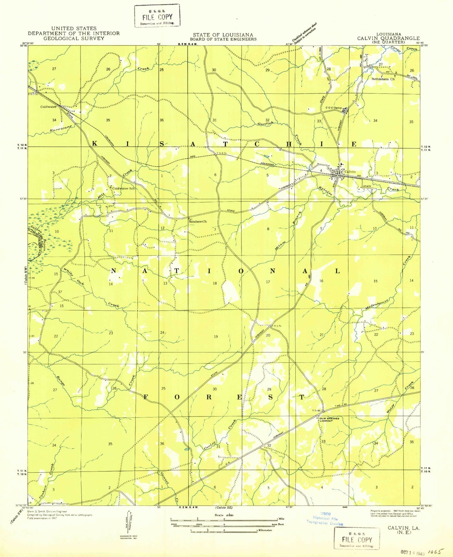
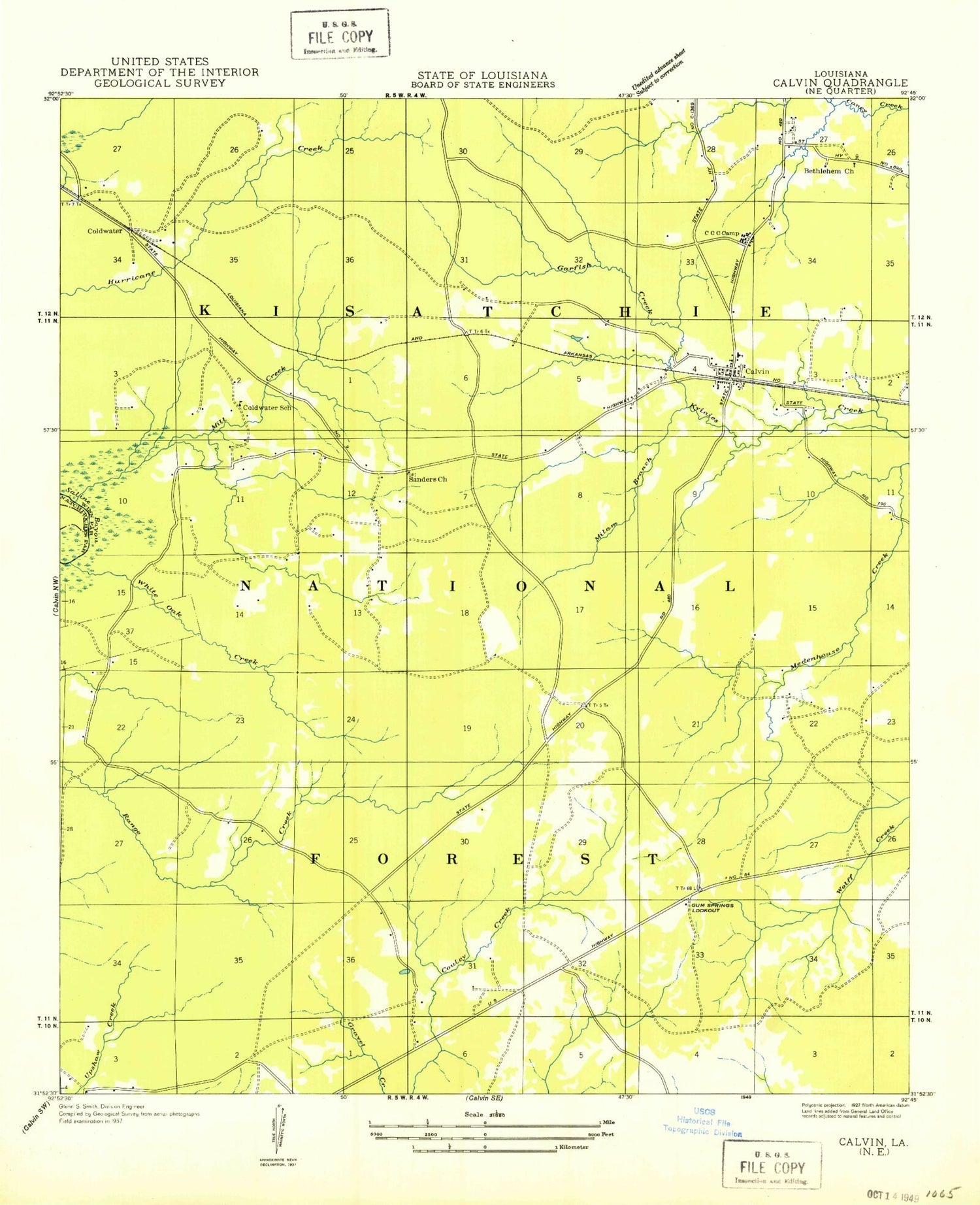
Historical USGS topographic quad map of Calvin in the state of Louisiana. Map scale may vary for some years, but is generally around 1:24,000. Print size is approximately 24" x 27"
This quadrangle is in the following counties: Natchitoches, Winn.
The map contains contour lines, roads, rivers, towns, and lakes. Printed on high-quality waterproof paper with UV fade-resistant inks, and shipped rolled.
Contains the following named places: Bethlehem Cemetery, Bethlehem Church, Blake Cemetery, Calvin, Calvin High School, Coldwater, Franks Cemetery, Garfish Creek, Gum Springs Campground and Picnic Area, Gum Springs Lookout Tower, Gum Springs Work Center, McDade Memorial Park, Milam Branch, Mill Creek, Old Harmony Cemetery, Parish Governing Authority District 3, Saline Grove Church, Sanders Chapel, Sanders Church, Village of Calvin, Ward Eight, White Oak Creek, ZIP Code: 71410