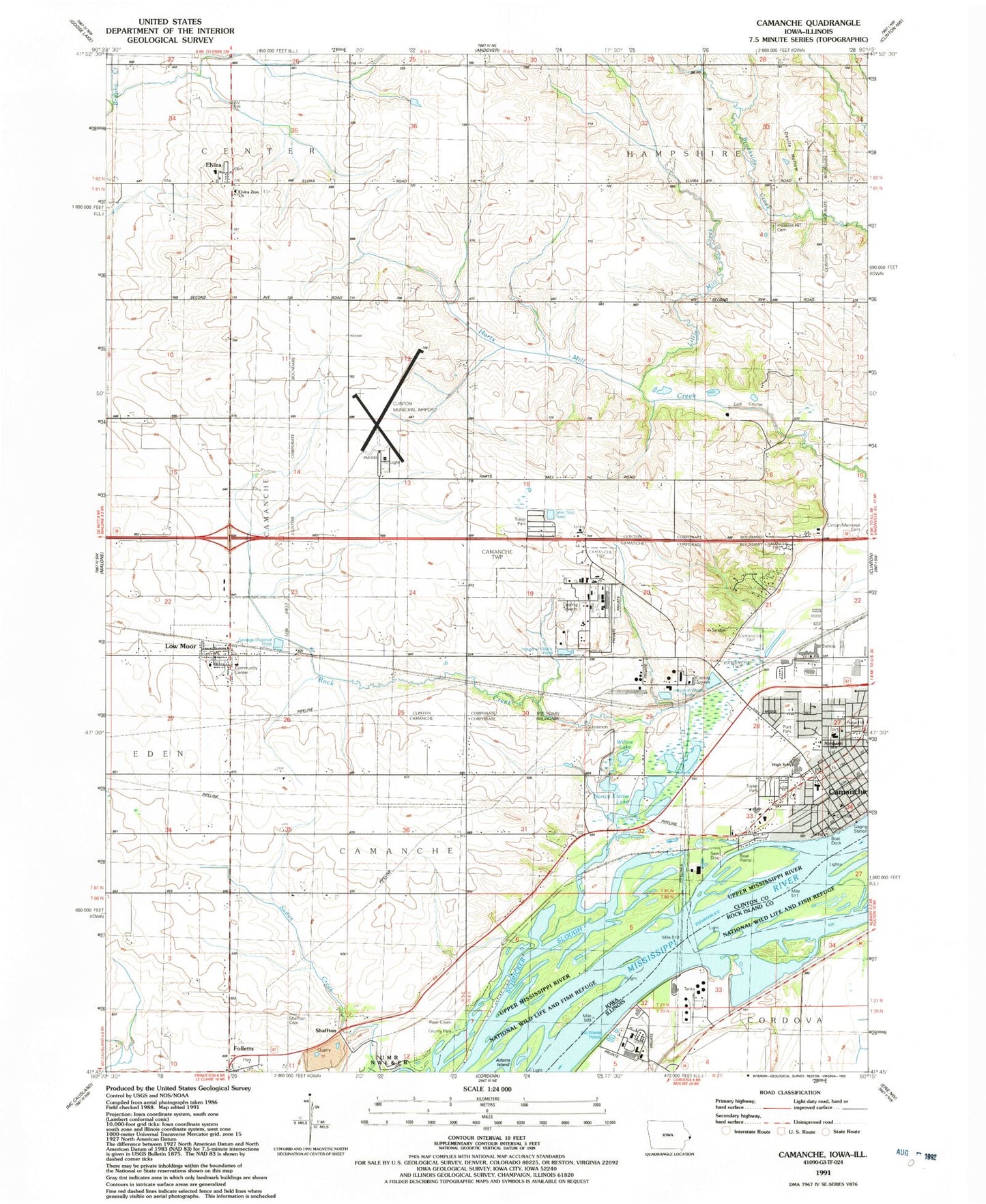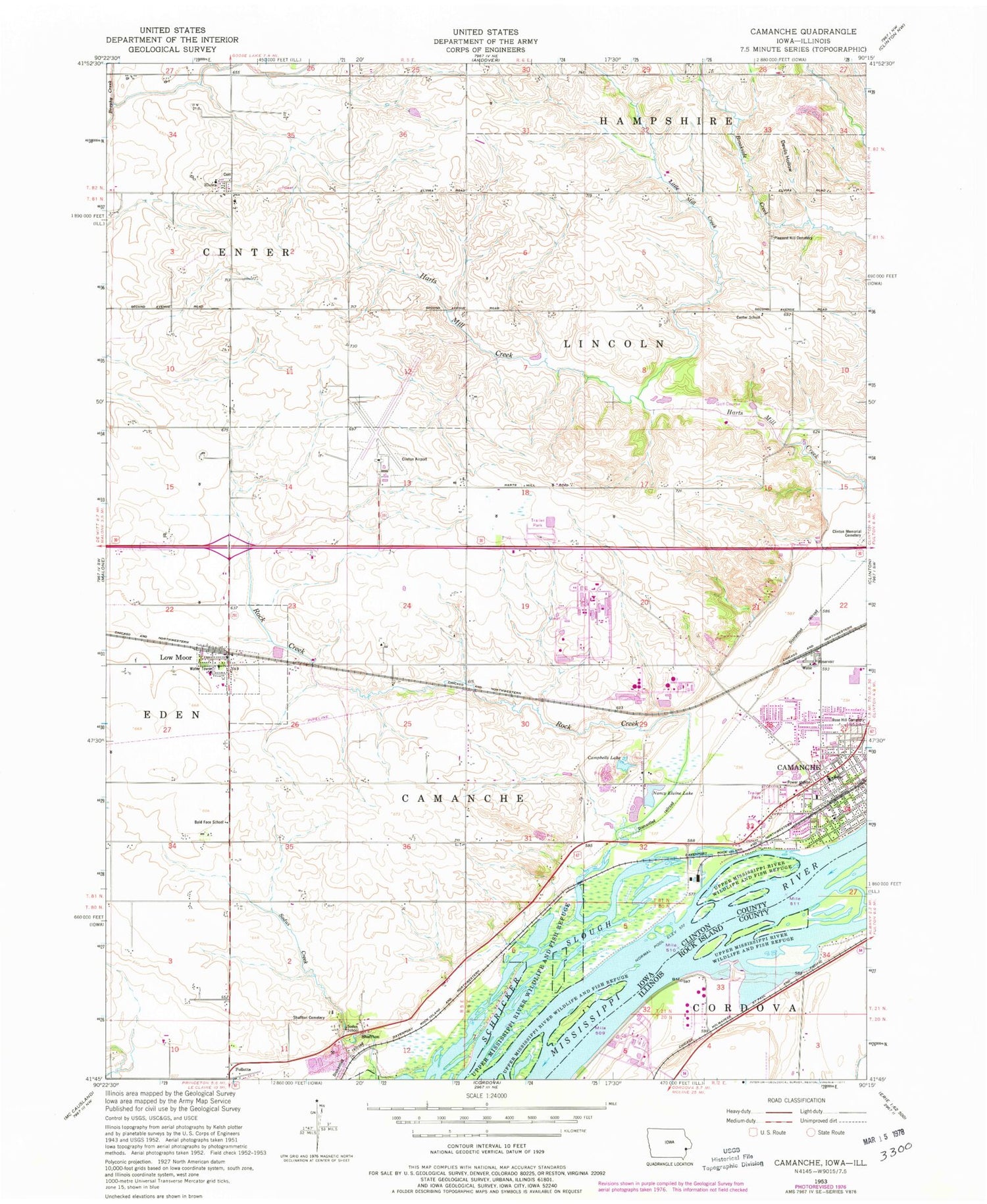
MyTopo
Classic USGS Camanche Iowa 7.5'x7.5' Topo Map
Couldn't load pickup availability
Historical USGS topographic quad map of Camanche in the states of Iowa, Illinois. Map scale may vary for some years, but is generally around 1:24,000. Print size is approximately 24" x 27"
This quadrangle is in the following counties: Clinton, Rock Island.
The map contains contour lines, roads, rivers, towns, and lakes. Printed on high-quality waterproof paper with UV fade-resistant inks, and shipped rolled.
Contains the following named places: Andersen Dairy, Bald Face School, Camanche, Camanche Elementary School, Camanche Fire Department Station 2, Camanche High School, Camanche Historical Museum, Camanche Island, Camanche Middle School, Camanche Police Department, Camanche Post Office, Camanche Public Library, Camanche Volunteer Fire Department, Center School, Chaney, Church of the Visitation, City of Camanche, City of Low Moor, Clinton Municipal Airport, Coes Island, Devils Hollow, Elvira, Elvira Cemetery, Elvira Elementary School, Elvira Post Office, Elvira Zion Church, First Baptist Church, Follett Park, Folletts, Folletts Post Office, Hanson Slough, Immanuel Lutheran Church, Little Mill Creek, Low Moor, Low Moor Post Office, Low Moor Volunteer Fire Department, Marais D'osier Slough, Meredosia Island, Nancy Elaine Lake, Platt Park, Pleasant Hill Cemetery, Pond Lilly Lake, Rock Creek, Rock Creek County Park, Rock Creek Marina and Campground, Rose Hill Cemetery, Saint Marks United Methodist Church, Samaritan Hospital South Heliport, Shaffton, Shaffton Cemetery, Sodus School, Swan Island, The Tubes, Township of Camanche, Tyler Lake, Valley Oaks Golf Club, Willow Lake, ZIP Code: 52730