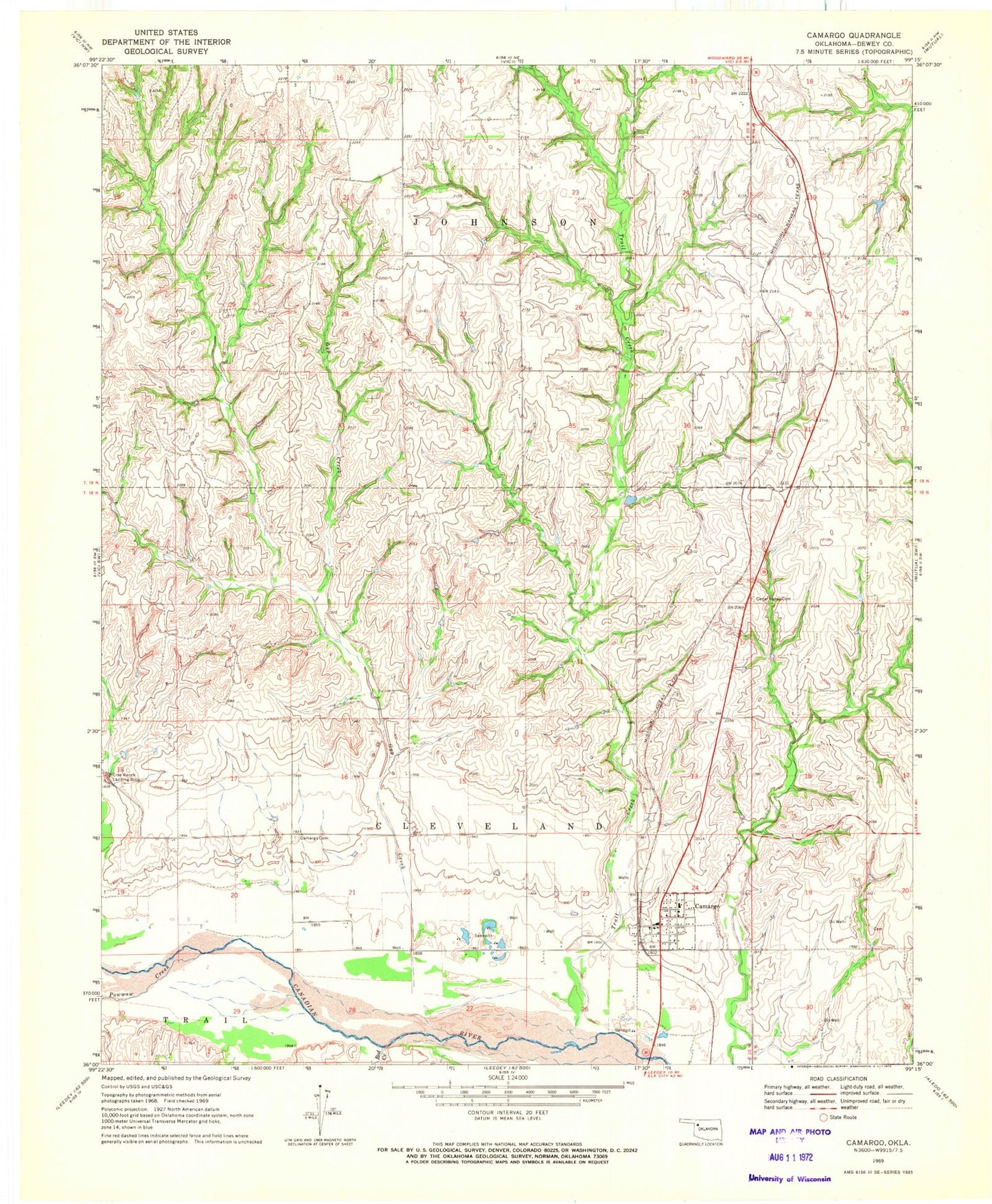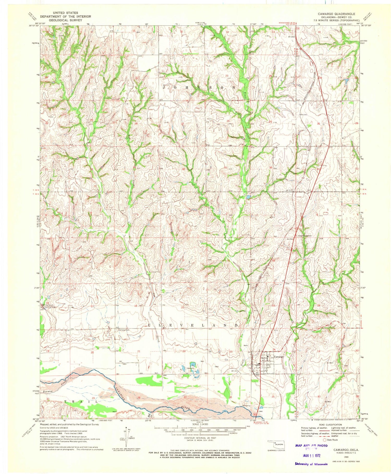
MyTopo
Classic USGS Camargo Oklahoma 7.5'x7.5' Topo Map
Couldn't load pickup availability
Historical USGS topographic quad map of Camargo in the state of Oklahoma. Map scale may vary for some years, but is generally around 1:24,000. Print size is approximately 24" x 27"
This quadrangle is in the following counties: Dewey.
The map contains contour lines, roads, rivers, towns, and lakes. Printed on high-quality waterproof paper with UV fade-resistant inks, and shipped rolled.
Contains the following named places: Brooker-Meek Cemetery, Camargo, Camargo Cemetery, Camargo Post Office, Camargo Volunteer Fire Department, Cedar Valley Cemetery, Day Number 1 Dam, Day Number 1 Reservoir, Gyp Creek, Jeffrey Ecd 4 Dam, Jeffrey Ecd 4 Reservoir, Powwow Creek, Red Creek, Town of Camargo, Township of Cleveland, Township of Johnson, Trail Creek