MyTopo
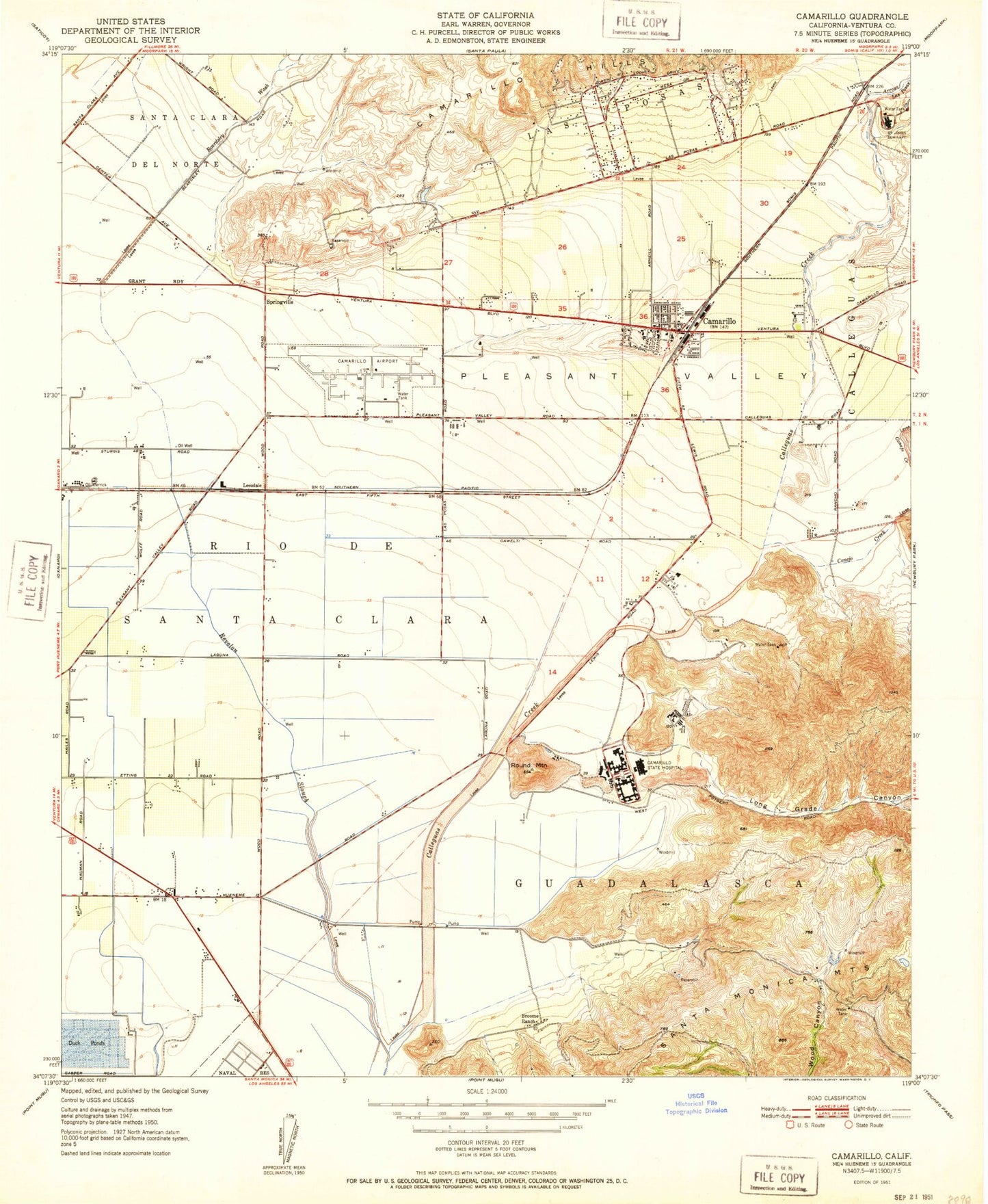
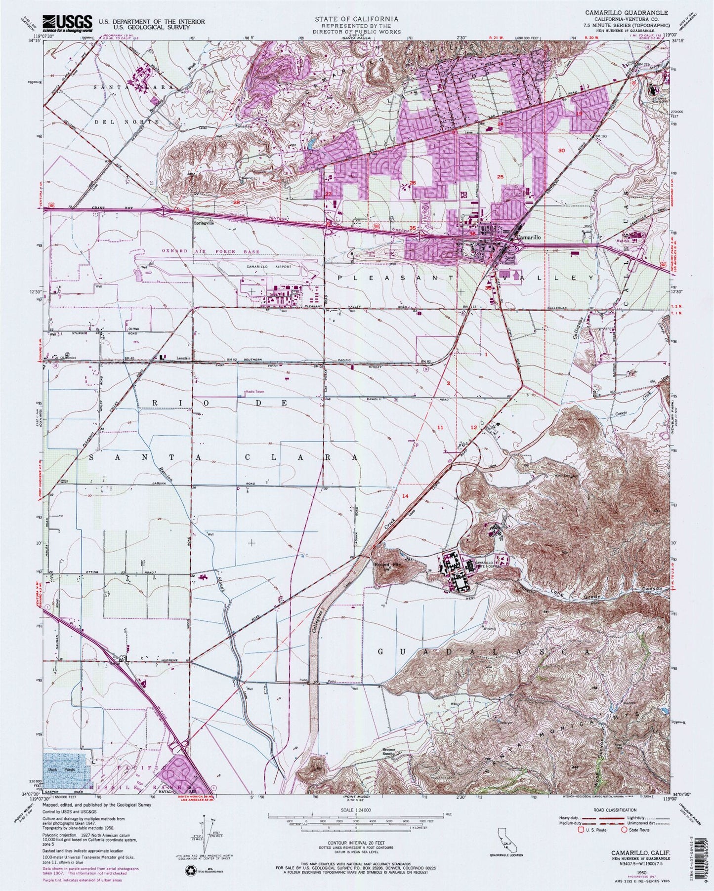
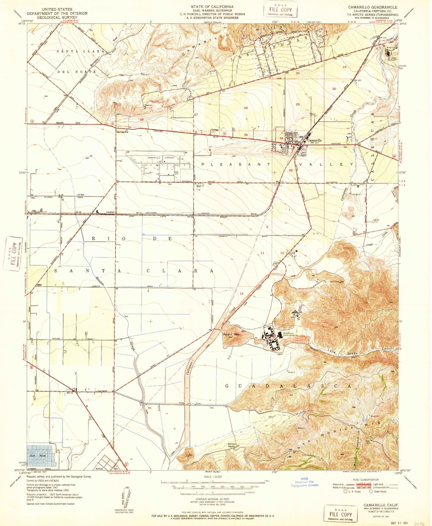
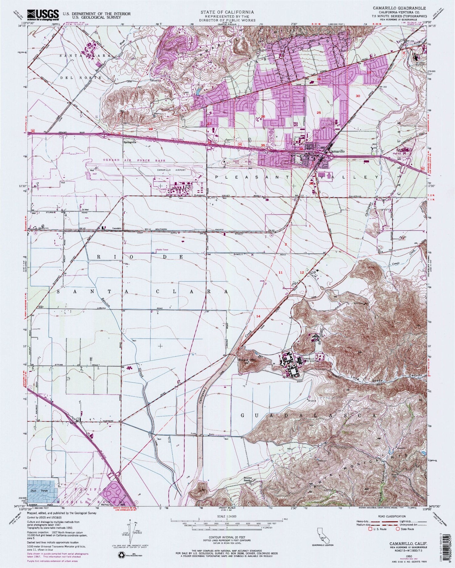
Classic USGS Camarillo California 7.5'x7.5' Topo Map
Couldn't load pickup availability
Historical USGS topographic quad map of Camarillo in the state of California. Map scale may vary for some years, but is generally around 1:24,000. Print size is approximately 24" x 27"
This quadrangle is in the following counties: Ventura.
The map contains contour lines, roads, rivers, towns, and lakes. Printed on high-quality waterproof paper with UV fade-resistant inks, and shipped rolled.
Contains the following named places: Adolfo Park, Adolfor Camarillo High School, Arneill Ranch Park, Arroyo Las Posas, Beardsley Wash, Bedford Open School, Broome Ranch, California State University - Channel Islands, Calvary Assembly of God Church, Camarillo, Camarillo Airport, Camarillo Boys and Girls Club, Camarillo Branch Ventura County Library, Camarillo Christian Church, Camarillo Christian School, Camarillo Church of Religious Science, Camarillo City Hall, Camarillo Community Church, Camarillo Covenant Church, Camarillo Division, Camarillo Foursquare Church, Camarillo Heights School, Camarillo House County Landmark, Camarillo Mobile Estates, Camarillo Post Office, Camarillo Sanitary Plant, Camarillo State Hospital, Camarillo Village Square Shopping Center, Carden Elementary School, Carmarillo Chamber of Commerce, Carmarillo Factory Stores Shopping Center, Carmarillo Town Center Shopping Center, Carmen Plaza Shopping Center, Central Plaza Shopping Center, Charter Oak Park, Church of Christ, Church of the Nazarene, City of Camarillo, Community Center Park, Conejo Creek, Conejo Mountain Memorial Park, Constitution Park, Cornerstone Christian School, Crestview Park, Criminal Justice Training Facility, Crossroads Community Church, Crossroads Shopping Center, Dizdar Park, Dos Caminos Elementary School, Dos Caminos Park, Dos Caminos Plaza Shopping Center, Edward Lawrence Dohney Memorial Library, El Descanso Elementary School, El Rancho Structured School, Evangelical Free Church of Camarillo, First Baptist Church of Camarillo, Foothill Park, Freedom Park, Fresas Park, Frontier High School, Gateway Community School, Hendershot Work Training Center, La Posas Plaza Shopping Center, Laguna Vista Elementary School, Lamplighter Mobile Home Park, Las Posas Elementary School, Laurelwood Park, Leesdale, Leesdale Siding, Long Grade Canyon, Los Altos Intermediate School, Los Nogales Elementary School, Los Primeros Structured School, Mission Oaks Business Park, Mission Oaks Shopping Center, Monte Vista Intermediate School, Mount Cross Lutheran Church, Old Town, Pardee Plaza Shopping Center, Paseo Camarillo Shopping Center, Paseo del Sol Shopping Center, Peace Lutheran Church, Pleasant Valley, Pleasant Valley Historical Museum, Pleasant Valley Park, Pleasant Valley School District Office, Ponderosa North Shopping Center, Ponderosa Shopping Center, Rancho Adolfo Mobile Home Estates, Rancho Lomita, Revolon Slough, Round Mountain, Saint Johns Pleasant Valley Hospital, Saint Johns Seminary, Saint Mary Magdalen Roman Catholic Church, Saint Mary Magdalen School, Sierra Vista Ranch, Somis, Spanish Hills, Spanish Hills Golf and Country Club, Spanish Hills Park, Springville, Springville Grammar School, Sucrosa, Sunrise Park, Terra Linda Elementary School, Valle Lindo Elementary School, Valle Lindo Park, Ventura County Community College System Office, Ventura County Correction Service Work Furlough Facility, Ventura County Fire Protection District Station 50, Ventura County Fire Protection District Station 54, Ventura County Fire Protection District Station 55, Ventura County Sheriff's Office, Ventura County Sheriff's Office - Camarillo Patrol / Camarillo Police Department, Ventura School California Youth Authority, Ventura Youth Correctional Facility, Village Square Shopping Center, Wood Creek Park, Woodside Park, ZIP Code: 93010


