MyTopo
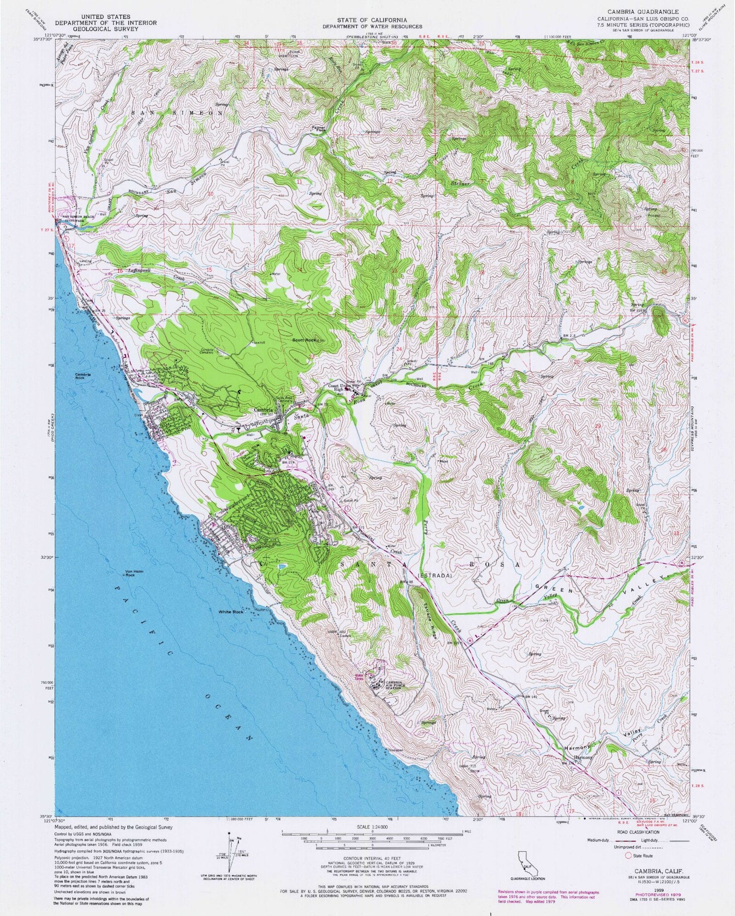
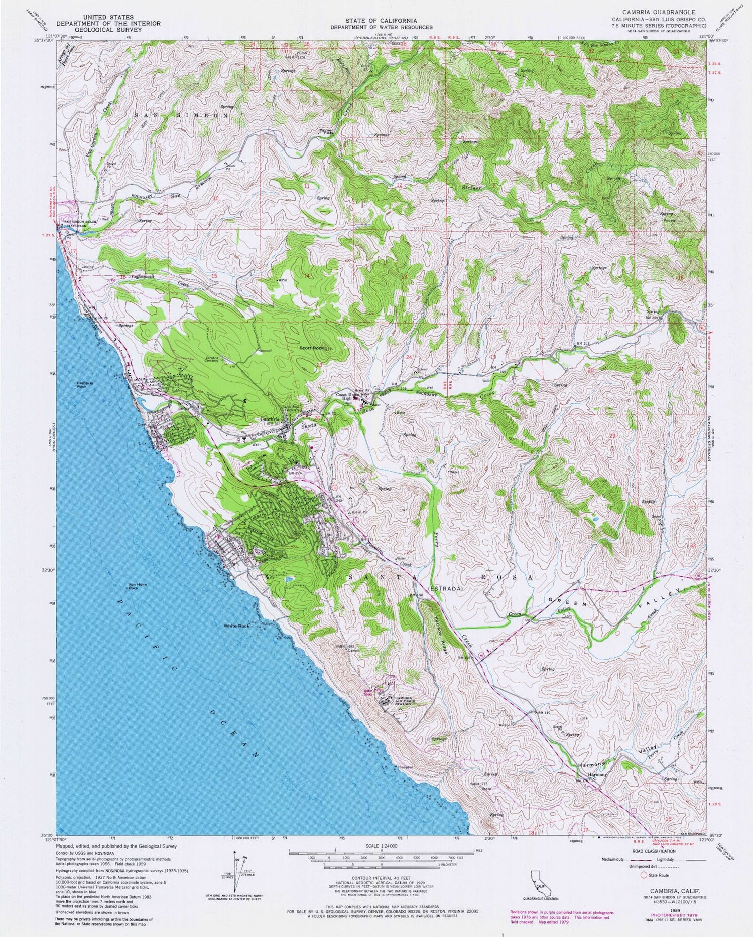
Classic USGS Cambria California 7.5'x7.5' Topo Map
Couldn't load pickup availability
Historical USGS topographic quad map of Cambria in the state of California. Map scale may vary for some years, but is generally around 1:24,000. Print size is approximately 24" x 27"
This quadrangle is in the following counties: San Luis Obispo.
The map contains contour lines, roads, rivers, towns, and lakes. Printed on high-quality waterproof paper with UV fade-resistant inks, and shipped rolled.
Contains the following named places: Abalone Cove, Allied Arts Gallery, Bianchi Quarry, CAL FIRE San Luis Obispo County Fire Department Cambria Station 10, Cambria, Cambria Air Force Station, Cambria Branch San Luis Obispo City-County Library, Cambria Cemetery, Cambria Census Designated Place, Cambria Chamber of Commerce, Cambria Community Day School, Cambria Community Healthcare District, Cambria Community Service Center, Cambria Fire Department, Cambria Grammar School, Cambria Pines, Cambria Pit, Cambria Post Office, Cambria Rock, Cambria Schoolhouse, Camp Ocean Pines, Camp Yeager, Coast Union High School, Crows Nest, East Village, Estrada Ridge, Green Valley, Green Valley Creek, Happy Hill, Harmony, Harmony Valley, Hearst San Simeon State Park, Home School, KOTR-FM (Cambria), Leffingwell Cove, Leffingwell Creek, Leffingwell High School, Leffingwell Landing, Leimert, Lodge Hill, Marine Terrace, Moonstone Beach, North Coast Division, Oceanie Mine, Old Santa Rosa Catholic Church, Olmstead School, Palmer Flats, Park Hill, Perry Creek, Porta Suela, Rancho San Simeon Airport, Rioly Run, San Simeon, San Simeon Beach State Park, San Simeon Natural Preserve, San Simeon School, Santa Lucia Middle School, Santa Rosa, Santa Rosa Cemetery, Santa Rosa Creek, Santa Rosa Creek Natural Preserve, Santa Rosa School, Scott Rock, Shamel County Park, South Fork San Simeon Creek, Steiner Creek, Swallow Rock, Tin City, Van Gordon Creek, Vineyard Church, Von Helm Rock, West Village, White Rock, ZIP Code: 93428


