
MyTopo
Classic USGS Cambria Minnesota 7.5'x7.5' Topo Map
Couldn't load pickup availability
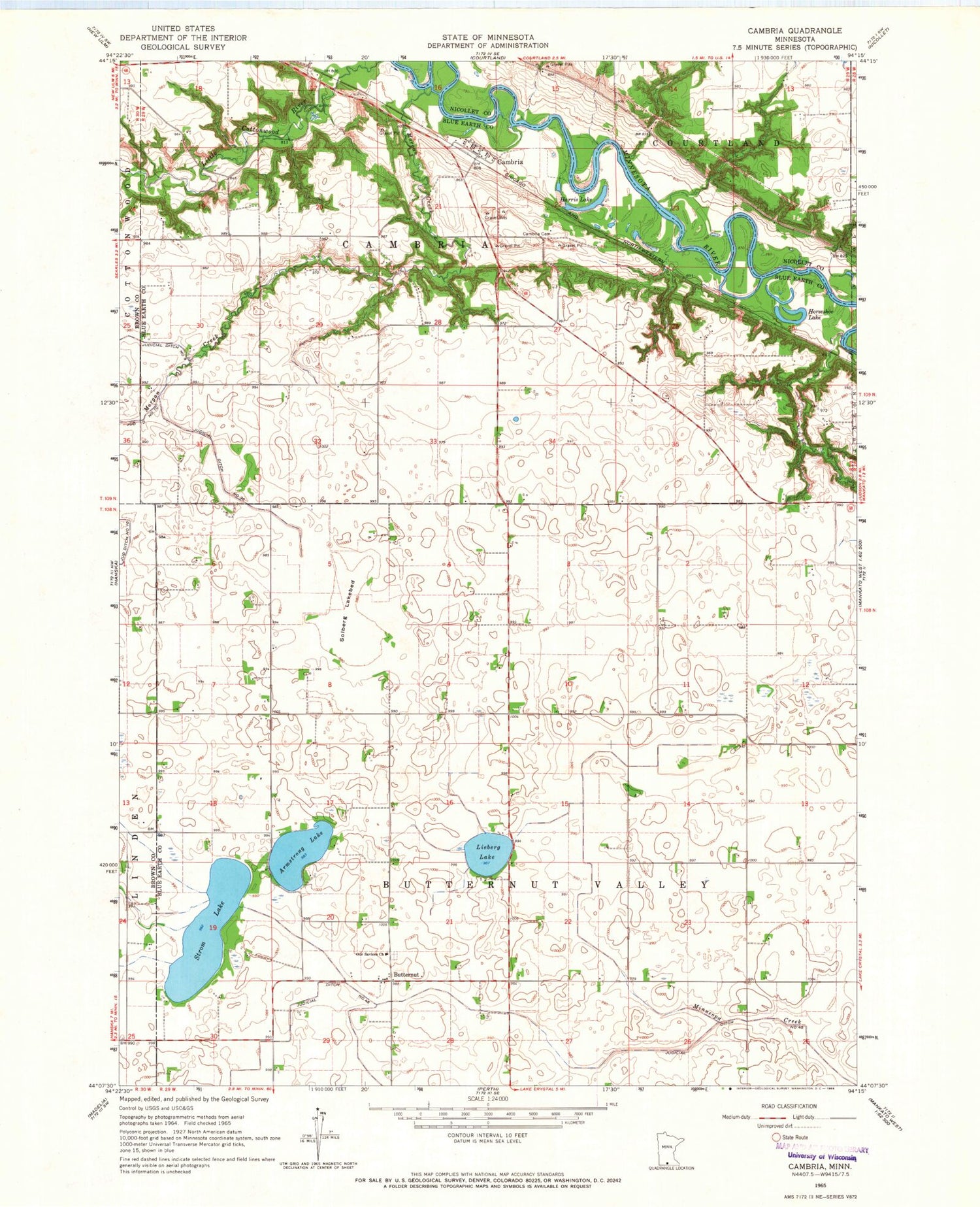
Historical USGS topographic quad map of Cambria in the state of Minnesota. Map scale may vary for some years, but is generally around 1:24,000. Print size is approximately 24" x 27"
This quadrangle is in the following counties: Blue Earth, Brown, Nicollet.
The map contains contour lines, roads, rivers, towns, and lakes. Printed on high-quality waterproof paper with UV fade-resistant inks, and shipped rolled.
Contains the following named places: Armstrong Lake, Butternut, Butternut Post Office, Cambria, Cambria Cemetery, Cambria Post Office, Cambria Pressbyterian Church, Harris Lake, Horseshoe Lake, Judicial Ditch Number Fortyeight, Judicial Ditch Number Thirtysix, Lieberg Lake, Morgan Creek, Our Saviors Cemetery, Our Saviors Church, Solberg Lakebed, Strom Lake, Township of Butternut Valley, Township of Cambria


