MyTopo
Classic USGS Cambria New York 7.5'x7.5' Topo Map
Couldn't load pickup availability
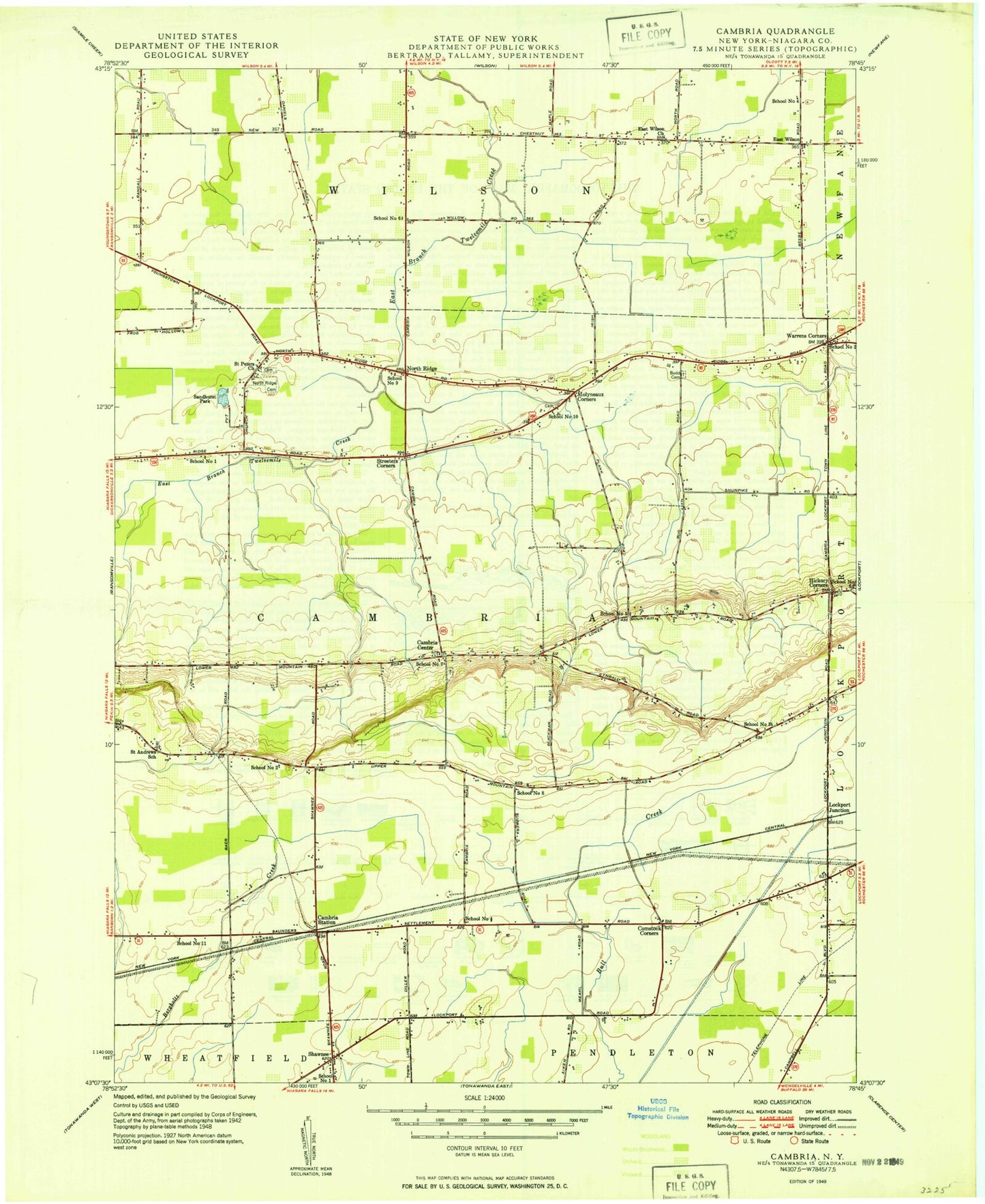
Historical USGS topographic quad map of Cambria in the state of New York. Map scale may vary for some years, but is generally around 1:24,000. Print size is approximately 24" x 27"
This quadrangle is in the following counties: Niagara.
The map contains contour lines, roads, rivers, towns, and lakes. Printed on high-quality waterproof paper with UV fade-resistant inks, and shipped rolled.
Contains the following named places: Bassett Field, Blackman Homestead Farm, Boka Farms, Budd Cemetery, Cambria Airport, Cambria Center, Cambria Station, Cambria United Church of Christ, Cambria Volunteer Fire Company, Cambria Wine Cellars, Camp Windy Meadows, Campbell Cemetery, Community Bible Church, Comstock Corners, Dorwood Mobile Home Park, East Wilson, East Wilson Church, Ellis Fruit Farm, Faith Community Church, Hibbard's Airport, Hickory Corners, Hillside Cemetery of Cambria, Hurtgam Farms, Koeppen Farms, Lockport Air Force Station, Lockport Cambria Airport, Lockport Junction, Mapleton Airfield, Molyneaux Cemetery, Molyneaux Corners, Mrowka Farm, Niagara Woodland Campground, Nike Site NF-16C, Nike Site NF-16L, Nike Site NF-17DC, North Ridge, North Ridge Cemetery, North Ridge United Methodist Church, Orleans-Niagara Educational Center, Pomeroy Cemetery, Pyskaty Farms, Rainbow Mobile Home Park, Saint Andrew Lutheran Cemetery, Saint Andrews Church, Saint Andrews School, Saint Peter Lutheran Cemetery, Saint Peter Lutheran School of North Ridge, Saint Peters Church, Sandhurst Park, School Number 1, School Number 10, School Number 11, School Number 2, School Number 3, School Number 4, School Number 5, School Number 6, School Number 7, School Number 8, School Number 9, Shawnee, Shawnee Country Club, Shawnee Volunteer Fire Company, South Wilson, South Wilson Volunteer Fire Company, Stoney Field Farm, Streeters Corners, Sunnyside Farms, Town of Cambria, Warrens Corners, Warrens Corners Methodist Church, Weaver Cemetery Number 1


