
MyTopo
Classic USGS Cambridge NW Kansas 7.5'x7.5' Topo Map
Regular price
$16.95
Regular price
Sale price
$16.95
Unit price
per
Couldn't load pickup availability
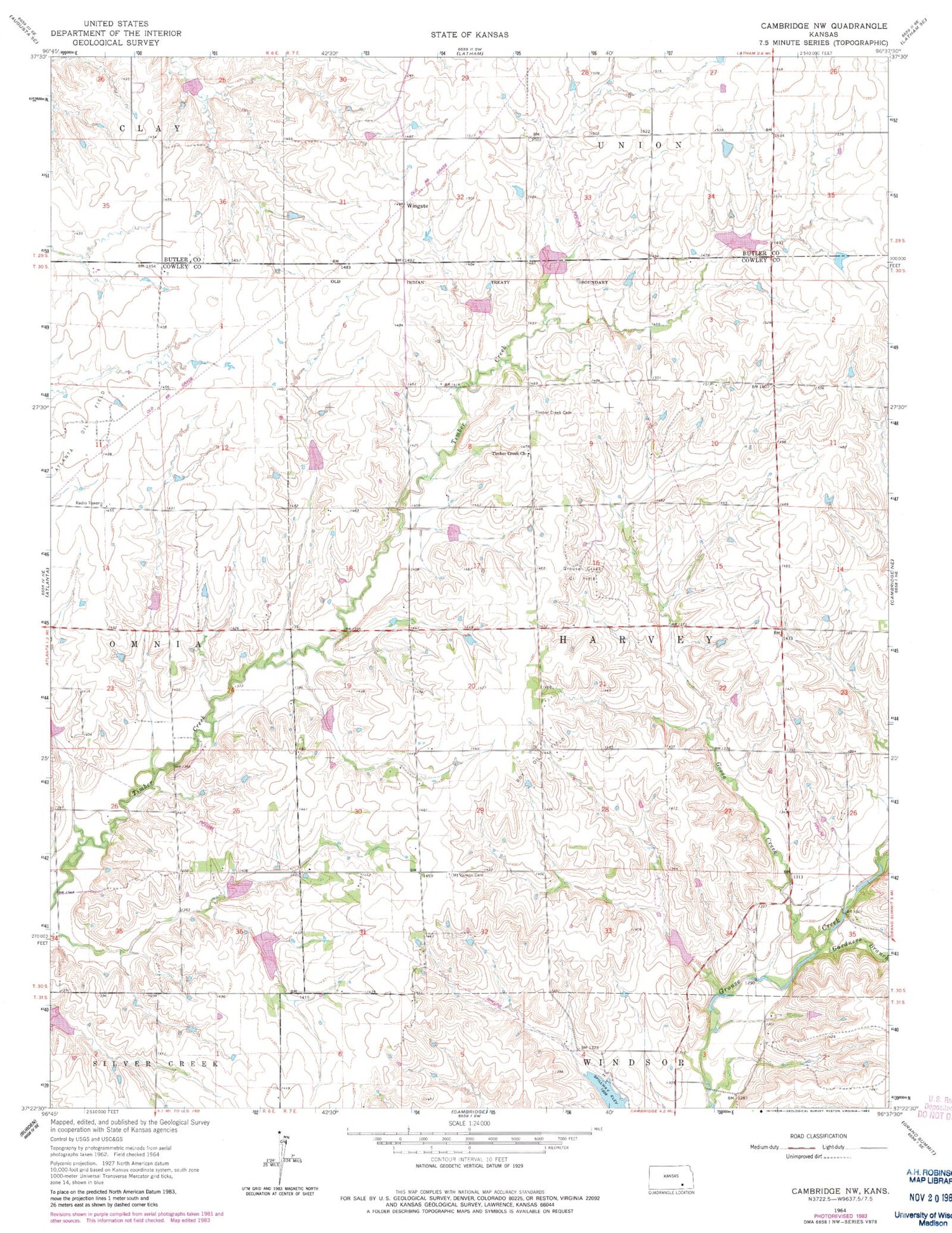
Historical USGS topographic quad map of Cambridge NW in the state of Kansas. Map scale may vary for some years, but is generally around 1:24,000. Print size is approximately 24" x 27"
This quadrangle is in the following counties: Butler, Cowley.
The map contains contour lines, roads, rivers, towns, and lakes. Printed on high-quality waterproof paper with UV fade-resistant inks, and shipped rolled.
Contains the following named places: Bocks School, Box Oil Field, Gardners Branch, Goose Creek, Grand Center School, Grouse Creek Oil Field, Mount Vernon Cemetery, Mount Vernon Church, Timber Creek Cemetery, Timber Creek Friends Church, Wingate


