MyTopo
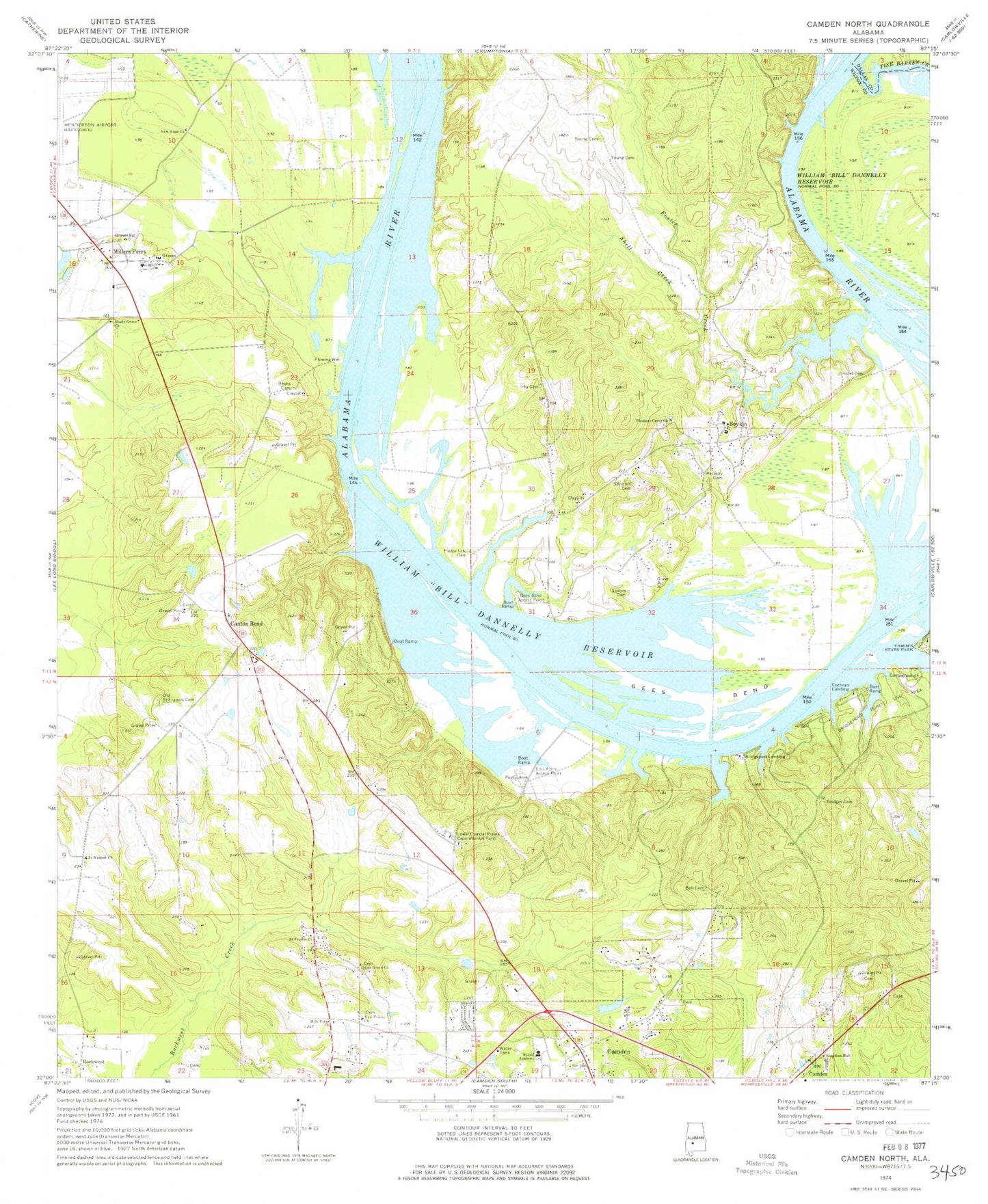
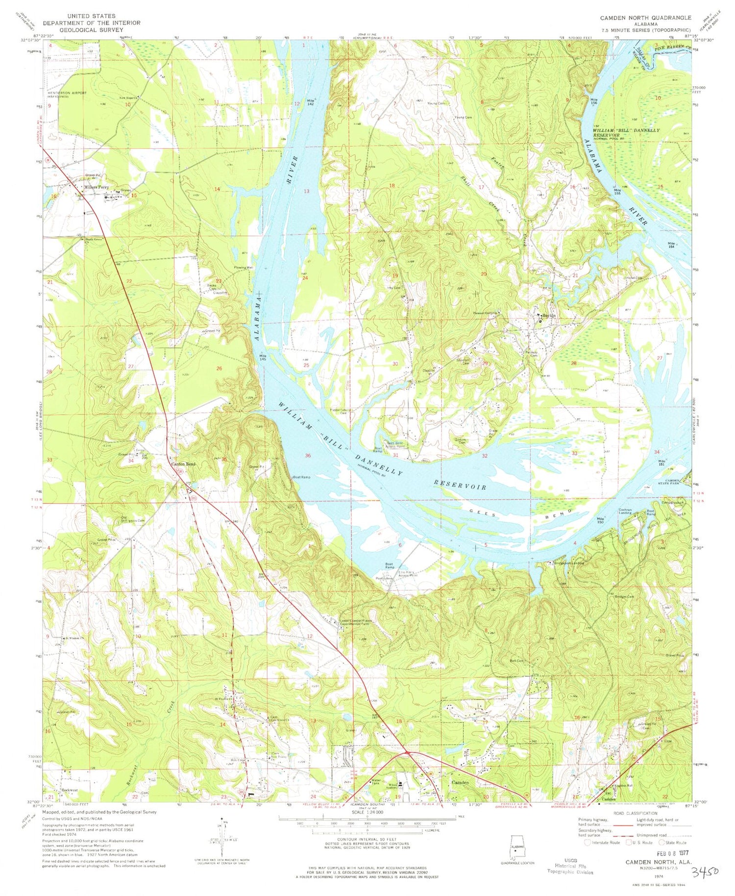
Classic USGS Camden North Alabama 7.5'x7.5' Topo Map
Couldn't load pickup availability
Historical USGS topographic quad map of Camden North in the state of Alabama. Map scale may vary for some years, but is generally around 1:24,000. Print size is approximately 24" x 27"
This quadrangle is in the following counties: Dallas, Wilcox.
The map contains contour lines, roads, rivers, towns, and lakes. Printed on high-quality waterproof paper with UV fade-resistant inks, and shipped rolled.
Contains the following named places: Becks Cemetery, Bell Cemetery, Boykin, Boykin Census Designated Place, Boykin Elementary School, Bridgeport Beach, Bridgeport Landing, Bridgeport Public Use Area, Bridges Cemetery, Camden Division, Camden State Park, Camden Volunteer Fire Department Station 2, Canton Bend, Canton Bend Cemetery, Canton Bend School, Canton Bend United Methodist Church, City of Camden, Cochran Landing, Ellis Ferry, Ellis Ferry Access Point, Foster Creek, Friendship Church, Gees Bend, Gees Bend Access Point, Holy Cross Church, Hotel Cemetery, Hurricane Island, Irby Cemetery, Lower Canton Bar, Lower Coastal Plains Experimental Farm, Millers Ferry, New Hope Church, New Trinity Church, Old Saint Francis Cemetery, Pettway Cemetery, Pigeonfield Cemetery, Pine Barren Creek, Pleasant Grove Church, Primrose Church Number Two, Rock West Church, Saint Francis Church, Saint Patrick Church, Saint Wisdom Church, Sakti Hata, Sandhill Cemetery, Shady Grove Church, Shell Creek, Sodom Cemetery, Ted Loftin Dam, Ted Loftin Lake, Union Grove Church, Upper Canton Bar, Wilcox Academy, Wilcox Central High School, Wilcox Training School, Young Cemetery, Young Landing, ZIP Code: 36723


