
MyTopo
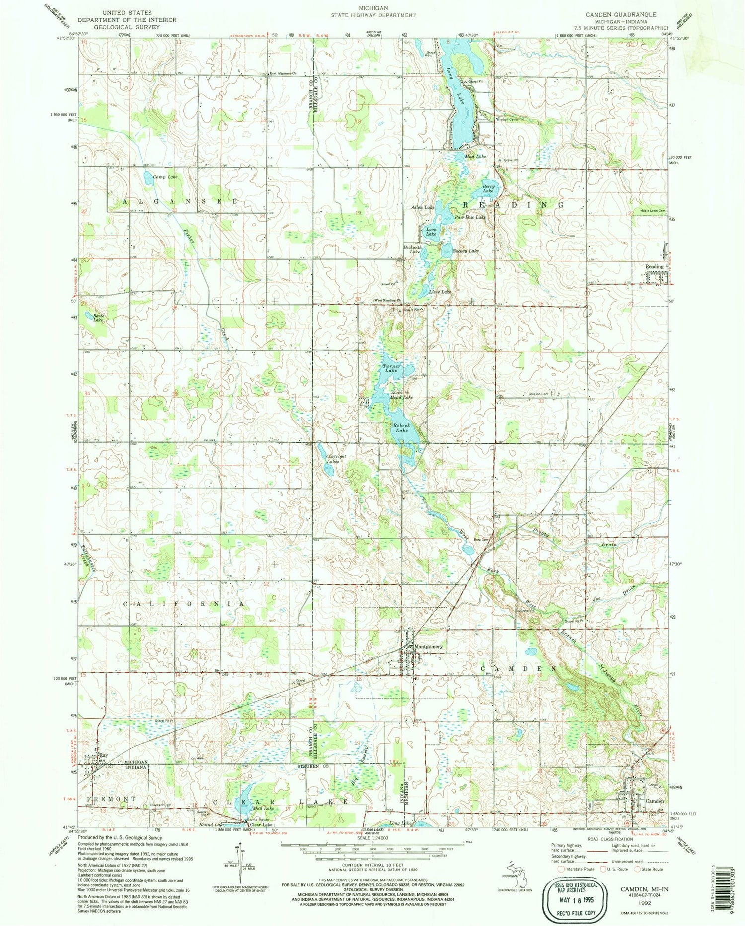
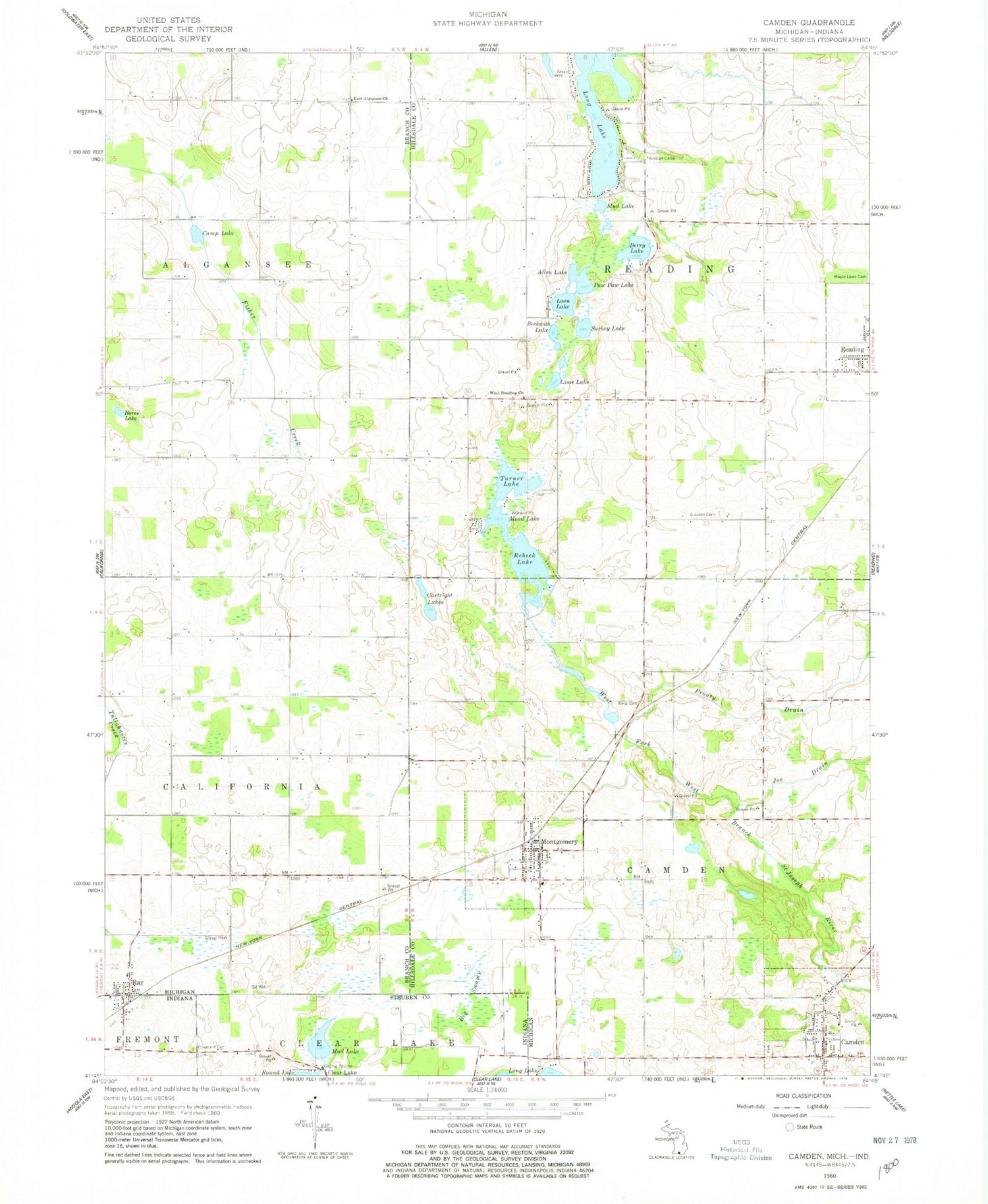
Classic USGS Camden Michigan 7.5'x7.5' Topo Map
Couldn't load pickup availability
Historical USGS topographic quad map of Camden in the states of Michigan, Indiana. Map scale may vary for some years, but is generally around 1:24,000. Print size is approximately 24" x 27"
This quadrangle is in the following counties: Branch, Hillsdale, Steuben.
The map contains contour lines, roads, rivers, towns, and lakes. Printed on high-quality waterproof paper with UV fade-resistant inks, and shipped rolled.
Contains the following named places: Allen Lake, Barre Field, Beckwith Lake, Berg Cemetery, Berry Lake, Big Swamp, Bovee Lake, Camden, Camden Cemetery, Camden Community Field, Camden Fire Department, Camden Missionary Church, Camden Post Office, Camden Township Library, Camden United Methodist Church, Camp Lake, Cartwright Lakes, Covenant Cemetery, East Alganssee Church, Gleason Cemetery, Hillsdale Medical Clinic, Joe Drain, Kimball Camp, Lime Lake, Lime Lake Campground, Long Lake, Loon Lake, Mead Lake, Montgomery, Montgomery Fire Department Station 7, Montgomery Post Office, Montgomery Station, Montgomery United Brethren Church, Montgomery United Methodist Church, Mud Lake, Paw Paw Lake, Prouty Drain, Ray, Rebeck Lake, Suckey Lake, Township of Camden, Township of Reading, Turner Lake, Village of Camden, Village of Montgomery, West Reading Cemetery, West Reading Church, ZIP Codes: 49255, 49274


