MyTopo
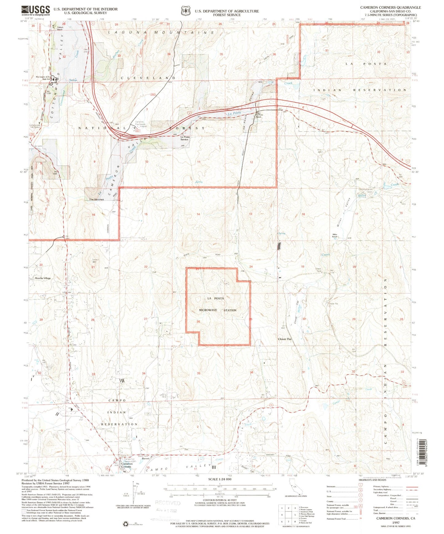
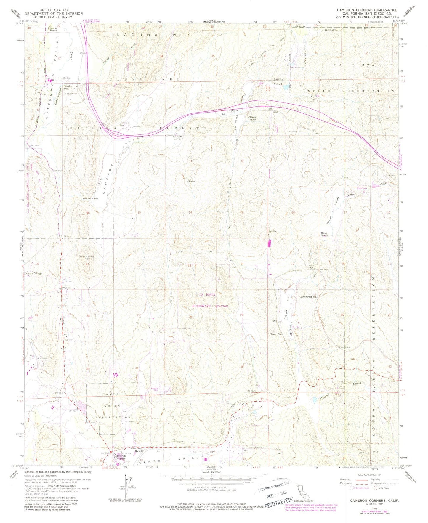
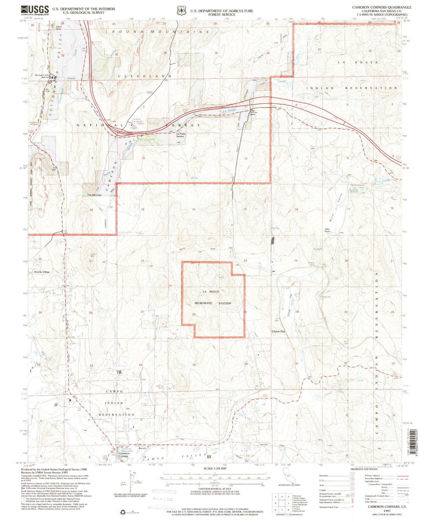
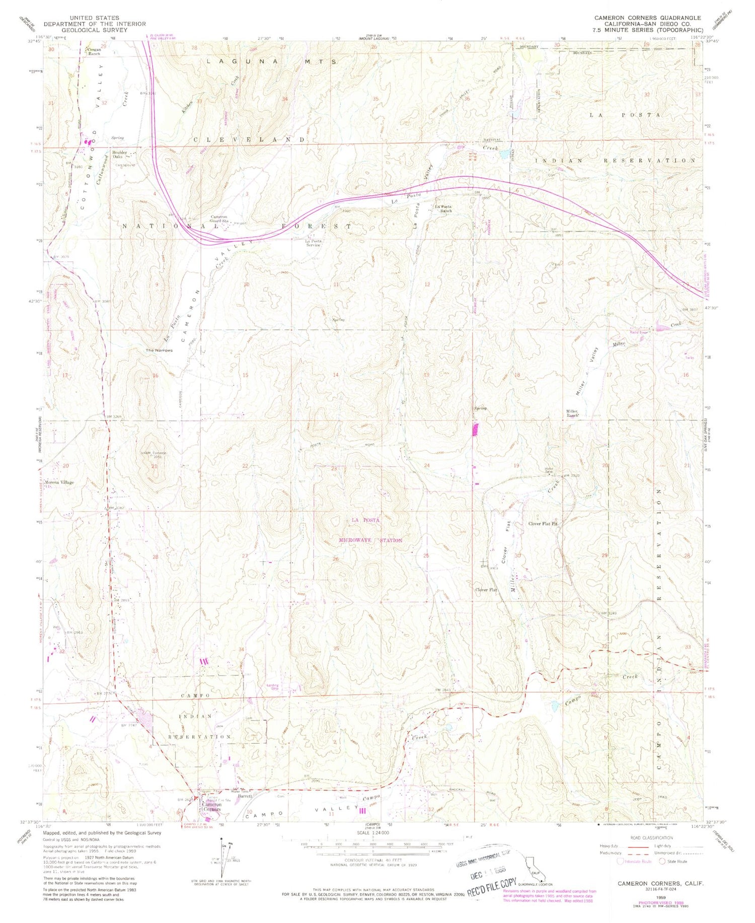
Classic USGS Cameron Corners California 7.5'x7.5' Topo Map
Couldn't load pickup availability
Historical USGS topographic quad map of Cameron Corners in the state of California. Typical map scale is 1:24,000, but may vary for certain years, if available. Print size: 24" x 27"
This quadrangle is in the following counties: San Diego.
The map contains contour lines, roads, rivers, towns, and lakes. Printed on high-quality waterproof paper with UV fade-resistant inks, and shipped rolled.
Contains the following named places: La Posta Indian Reservation, Cameron Corners, Cameron Guard Station, Cameron Valley, Campo Forest Fire Station, Clover Flat, Clover Flat Pit, Coogan Ranch, Kitchen Creek, La Posta Creek, La Posta Indian Reservation, La Posta Ranch, La Posta Service, La Posta Valley, Miller Creek, Miller Ranch, Miller Valley, Smith Canyon, The Narrows, Barrett, Boulder Oaks, Clover Flat, La Posta Microwave Station, Mountain Empire School (historical), Boulder Oaks Elementary School, Campo Branch San Diego County Library, Mountain Empire Division, United States Forest Service Cleveland National Forest Station Cottonwood, Boulder Oaks Campground, Boulder Oaks Trailhead, Cameron Fire Station, Campo Census Designated Place, San Diego County Fire Authority Fire Station 40 - Campo, Cameron Corners Pit, Four Eagles Sand and Gravel Quarry


