MyTopo
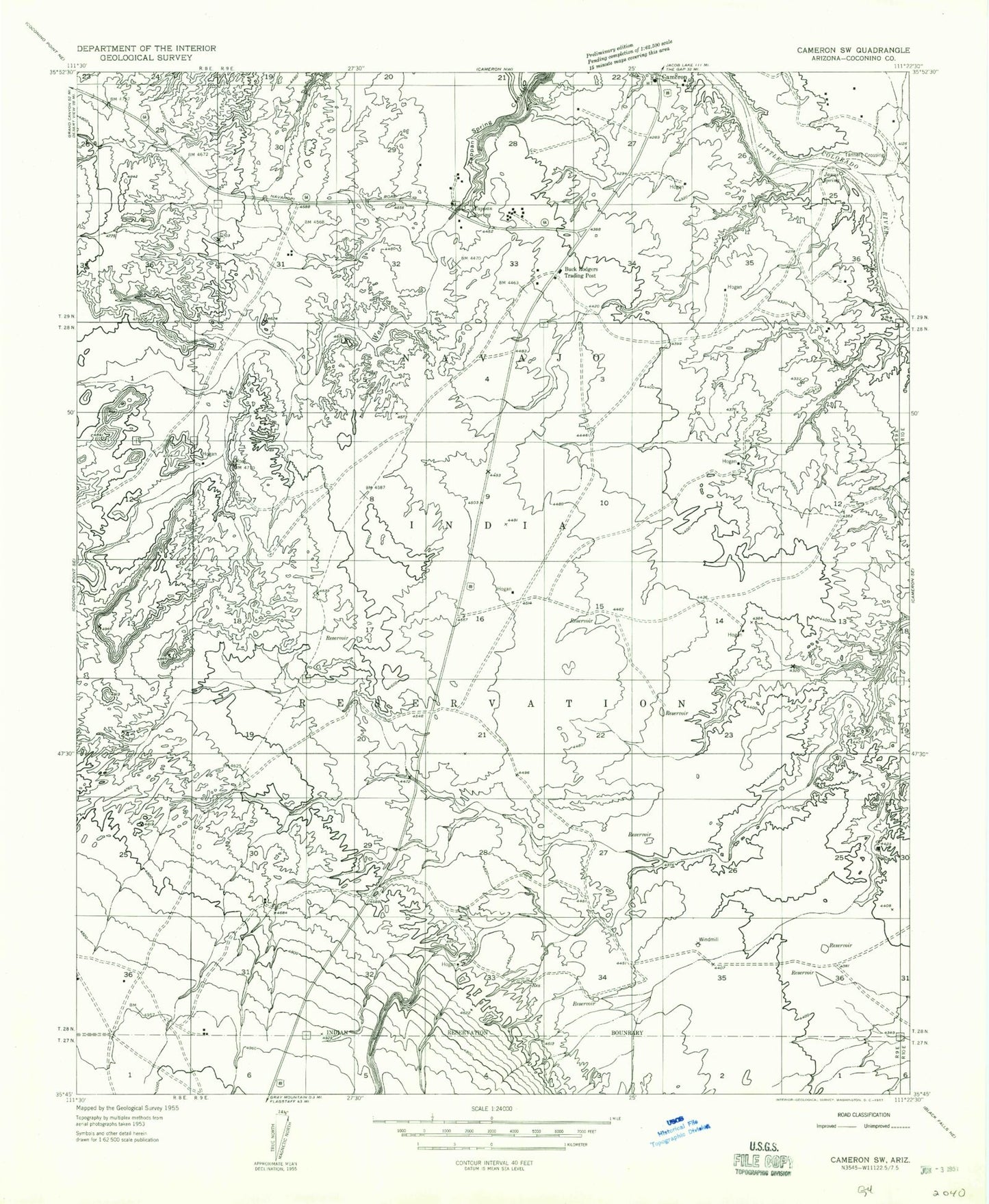
Classic USGS Cameron South Arizona 7.5'x7.5' Topo Map
Regular price
$16.95
Regular price
Sale price
$16.95
Unit price
per
Couldn't load pickup availability
Historical USGS topographic quad map of Cameron South in the state of Arizona. Map scale may vary for some years, but is generally around 1:24,000. Print size is approximately 24" x 27"
This quadrangle is in the following counties: Coconino.
The map contains contour lines, roads, rivers, towns, and lakes. Printed on high-quality waterproof paper with UV fade-resistant inks, and shipped rolled.
Contains the following named places: Buck Rodgers Trading Post, Burro Canyon Wash, Cameron Census Designated Place, Cameron Gauging Station, Cameron Post Office, Dzil Libei Elementary School, Gray Mountain Pumping Station, Janus Spring, Tanners Crossing, Tappan Spring, Wagon Wheel Trading Post