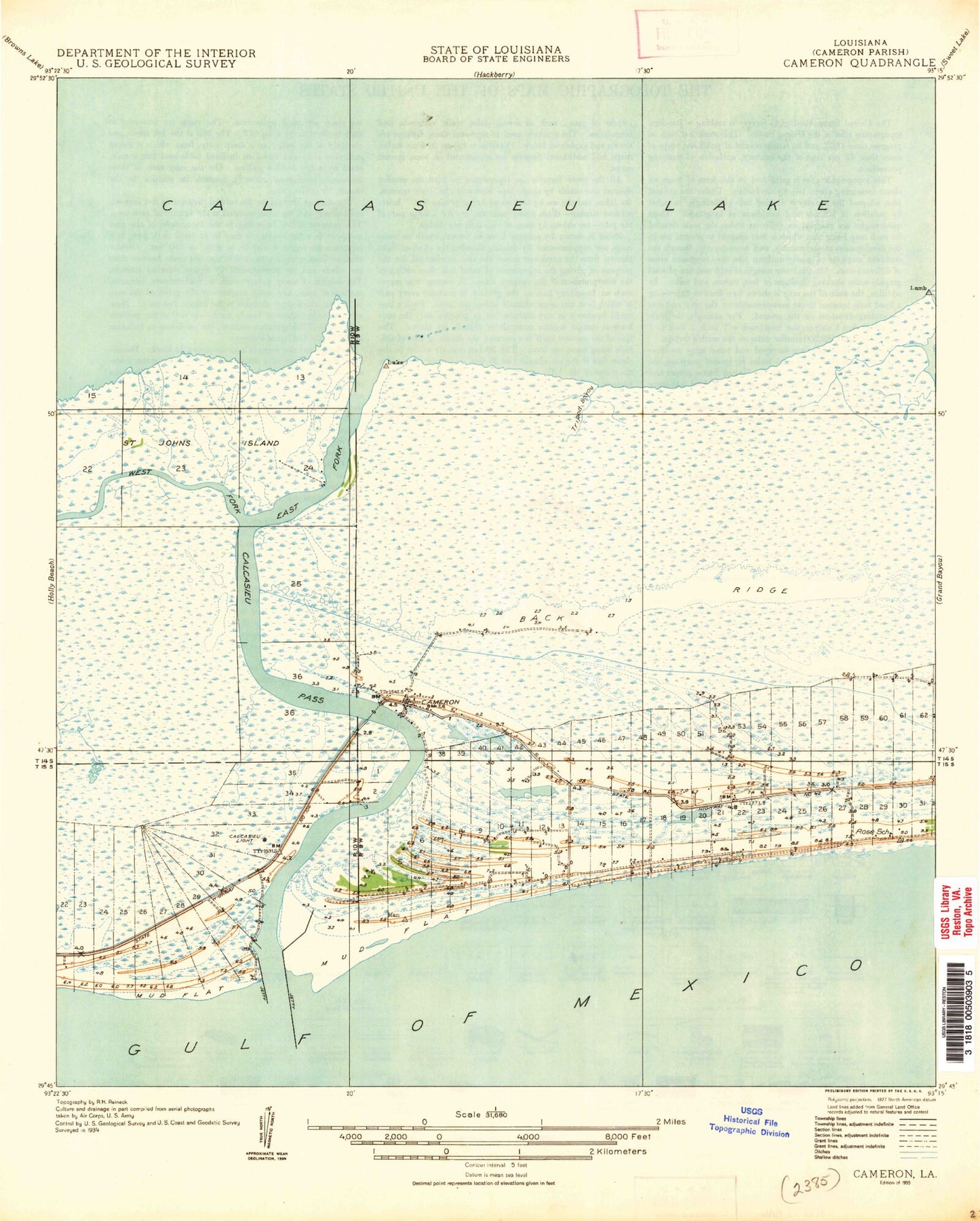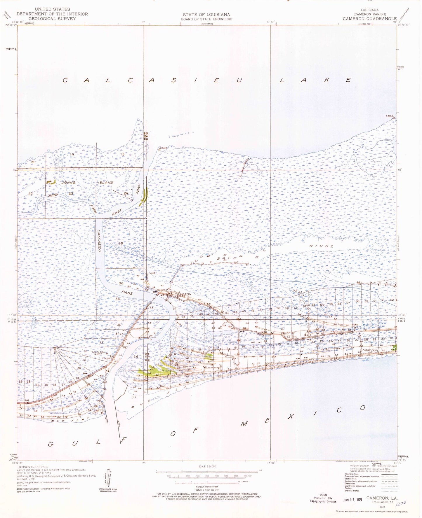

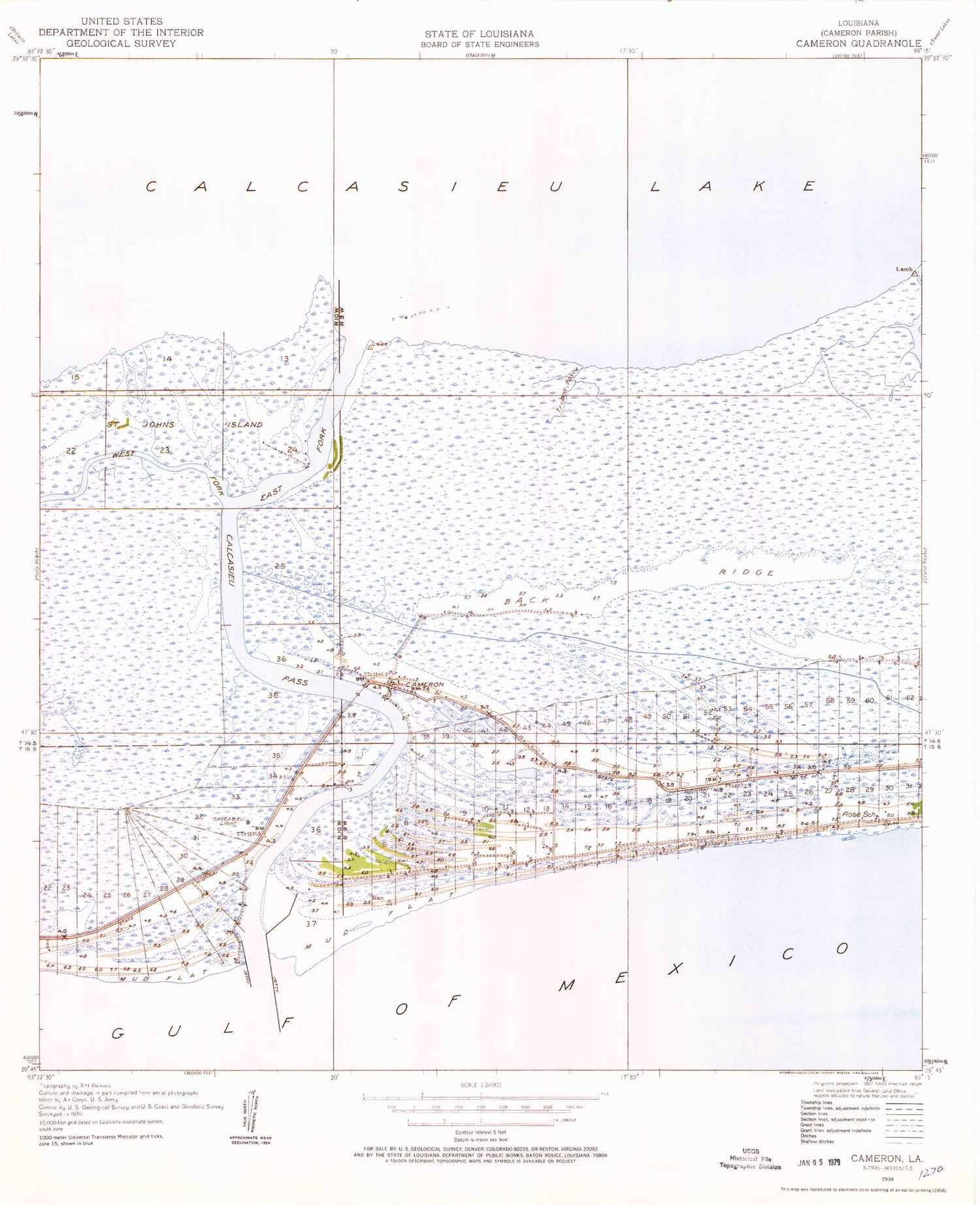
MyTopo
Classic USGS Cameron Louisiana 7.5'x7.5' Topo Map
Couldn't load pickup availability
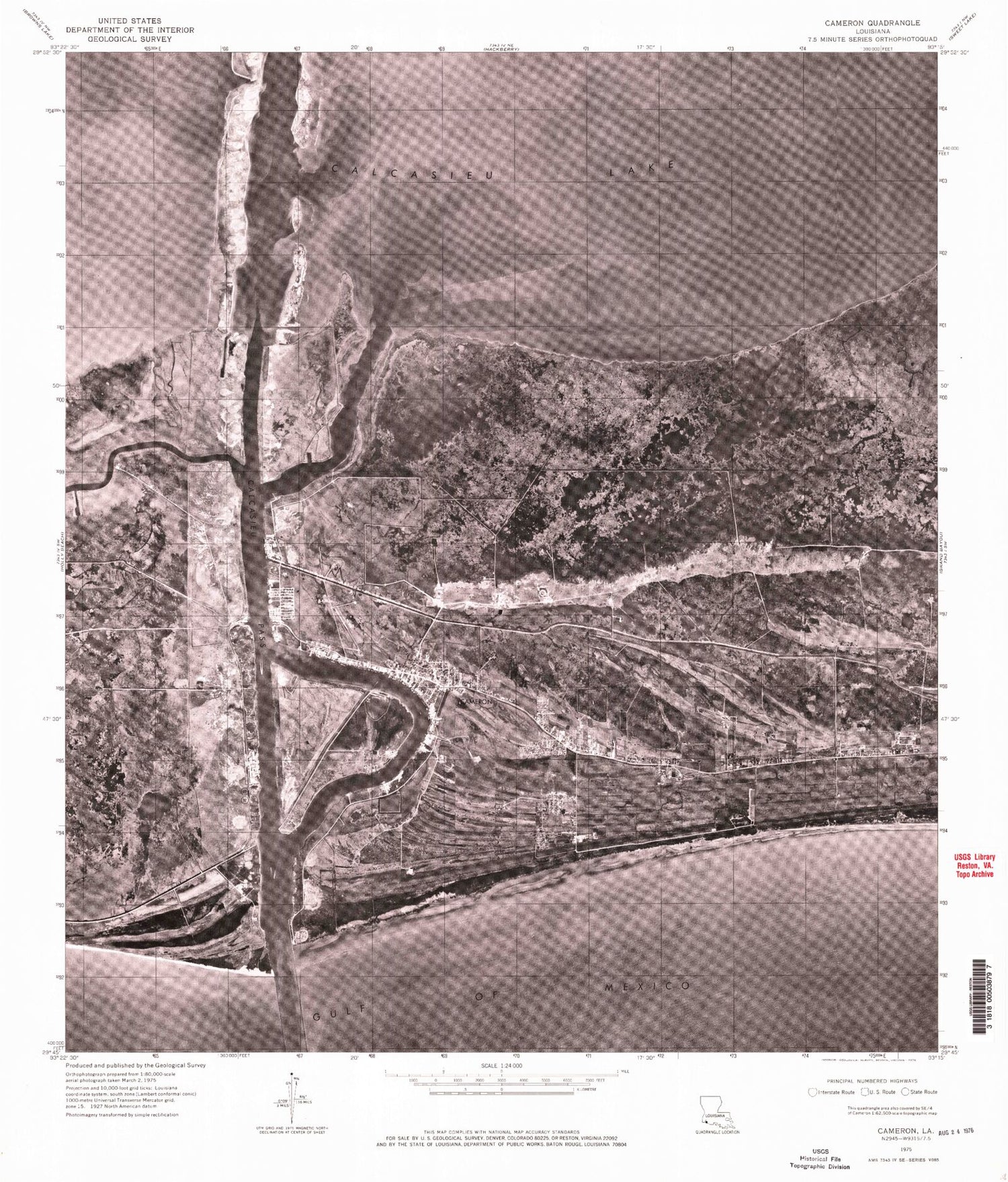
Historical USGS topographic quad map of Cameron in the state of Louisiana. Map scale may vary for some years, but is generally around 1:24,000. Print size is approximately 24" x 27"
This quadrangle is in the following counties: Cameron.
The map contains contour lines, roads, rivers, towns, and lakes. Printed on high-quality waterproof paper with UV fade-resistant inks, and shipped rolled.
Contains the following named places: Back Ridge, Cagc Dock Heliport, Calcasieu Light, Calcasieu Pass, Calcasieu Pass Gas Field, Cameron, Cameron Airstrip, Cameron Census Designated Place, Cameron Elementary School, Cameron Oil and Gas Field, Cameron Parish Library, Cameron Parish Sheriff's Department - Criminal Record, Cameron Parish Sheriff's Office, Cameron Post Office, Cameron Shore Base Heliport, Cameron Texaco Heliport, Cameron Volunteer Fire Department District 1, Cameron Ward Three, Chevron USA Incorporated Heliport, East Fork Calcasieu Pass, Era Helicopters Cameron Base Heliport, Kelly - Rogers Cemetery, Lake Shore Canal, Mobil Cameron Heliport, Monkey Island, Our Lady Star of the Sea Cemetery, Parish Governing Authority District 6, Petroleum Helicopters Cameron Heliport, Rose School, Saint Johns Island, Tripod Bayou, Wakefield Memorial Cemetery, West Cameron Gas Field, West Fork Calcasieu Pass