MyTopo
Classic USGS Cameron Pennsylvania 7.5'x7.5' Topo Map
Couldn't load pickup availability
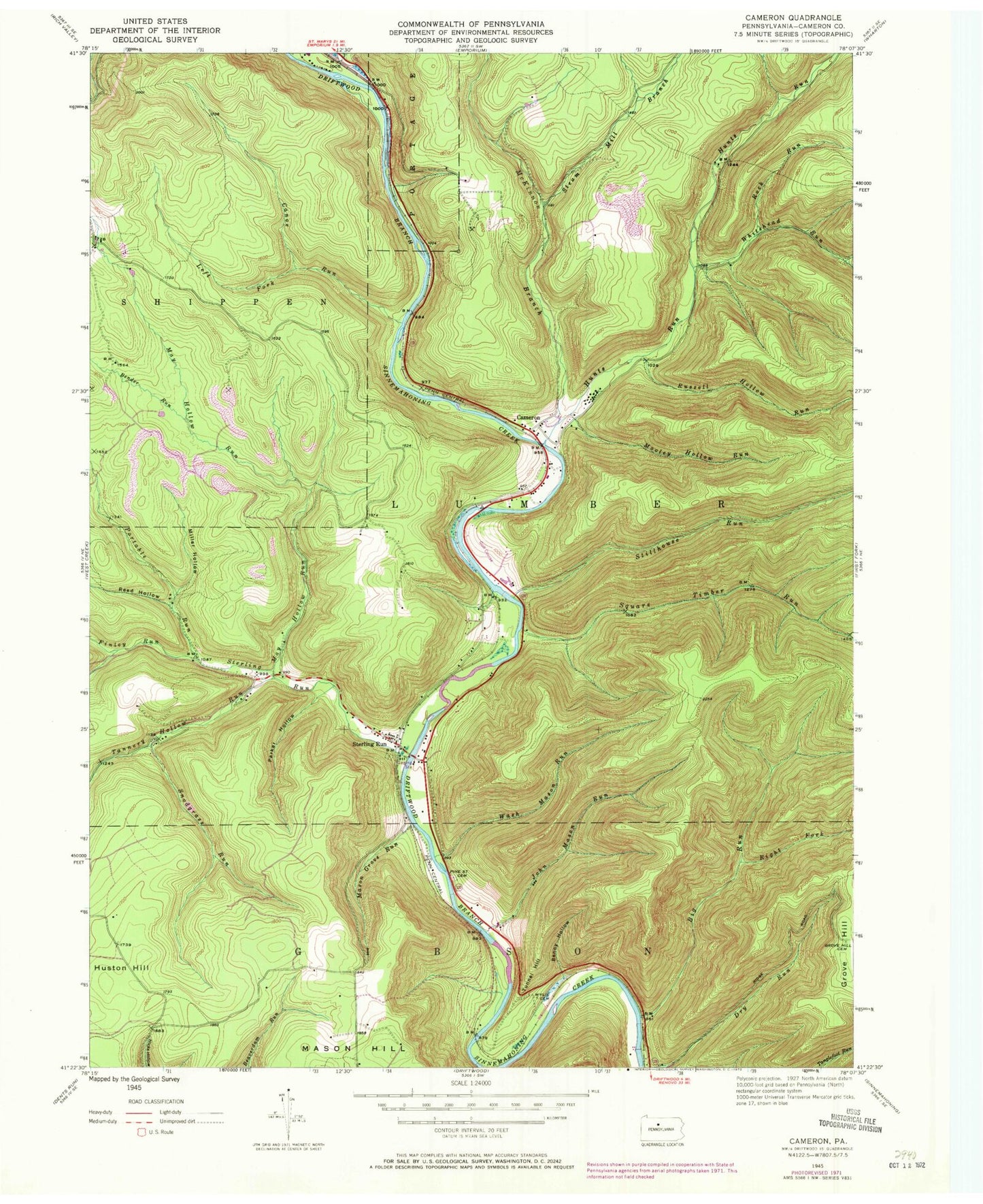
Historical USGS topographic quad map of Cameron in the state of Pennsylvania. Typical map scale is 1:24,000, but may vary for certain years, if available. Print size: 24" x 27"
This quadrangle is in the following counties: Cameron.
The map contains contour lines, roads, rivers, towns, and lakes. Printed on high-quality waterproof paper with UV fade-resistant inks, and shipped rolled.
Contains the following named places: Bauer Hollow, Bender Run, Beny Hollow, Big Run, Cameron, Canoe Run, Finley Run, Grove Hill, Grove Hill Cemetery, Hunts Run, Huston Hill, John Mason Run, Left Fork Canoe Run, Mason Grove Run, May Hollow Run, McKinnon Branch, Miller Hollow, Mooley Hollow Run, Parker Hollow, Pine Street Cemetery, Portable Run, Reed Hollow, Right Fork Big Run, Rock Run, Russell Hollow Run, Snodgrass Run, Square Timber Run, Steam Mill Branch, Sterling Run, Sterling Run, Stillhouse Run, Tannery Hollow Run, Tunnel Hill, Wash Mason Run, Whitehead Run, Wyle Cemetery, Slyder Airport (historical), Memorial Spring, Sand Springs Trail, Canoe Run, Wayside Memorial State Forest Picnic Area, Cameron County, Township of Lumber, Sterling Run Cemetery