MyTopo
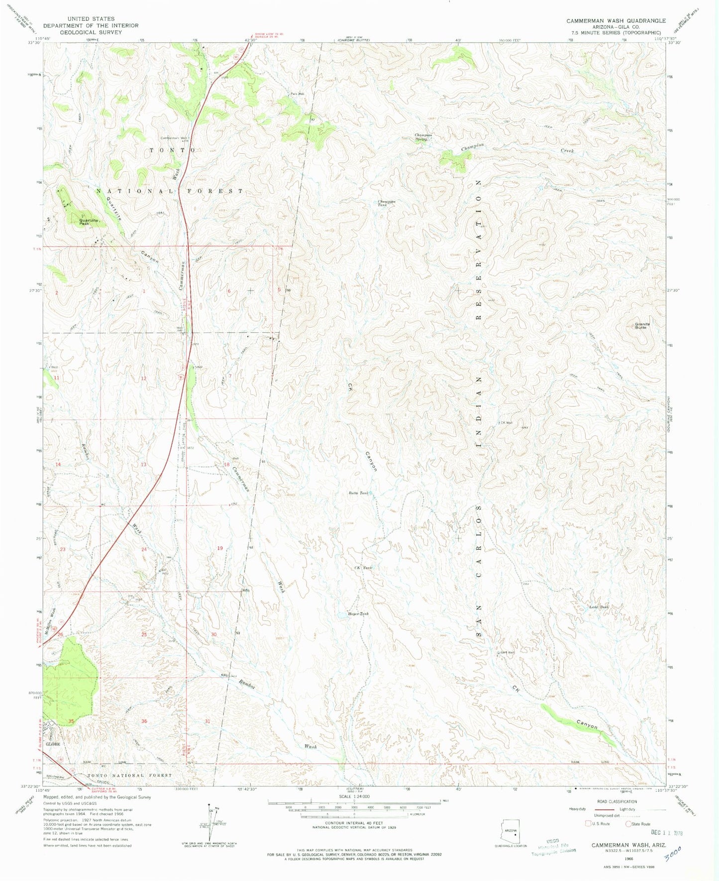
Classic USGS Cammerman Wash Arizona 7.5'x7.5' Topo Map
Couldn't load pickup availability
Historical USGS topographic quad map of Cammerman Wash in the state of Arizona. Map scale may vary for some years, but is generally around 1:24,000. Print size is approximately 24" x 27"
This quadrangle is in the following counties: Gila.
The map contains contour lines, roads, rivers, towns, and lakes. Printed on high-quality waterproof paper with UV fade-resistant inks, and shipped rolled.
Contains the following named places: Apache Spring, Arizona State Highway District Headquarters, Arizona State Highway Patrol Globe District 11, Butta Tank, C K Tank, C K Well, Cammerman Spring, Cammerman Wash, Cammerman Well, Champion Spring, Champion Tank, Corner Tank, Gila County Fairgrounds, Gilbert Well, Granite Butte, Hayes Tank, High Desert Middle School, Jones Ranch, Ladd Tank, Lewis Mill, Mill Spring, Park Tank, Park Well, Quartzite Canyon, Quartzite Peak, Reservation Tank Number Two, Scarborough Tank Number One, Scarborough Tank Number Two, State Highway District Headquarters, Trick Tank, West Double Dam, Wheeler Landing Field