MyTopo
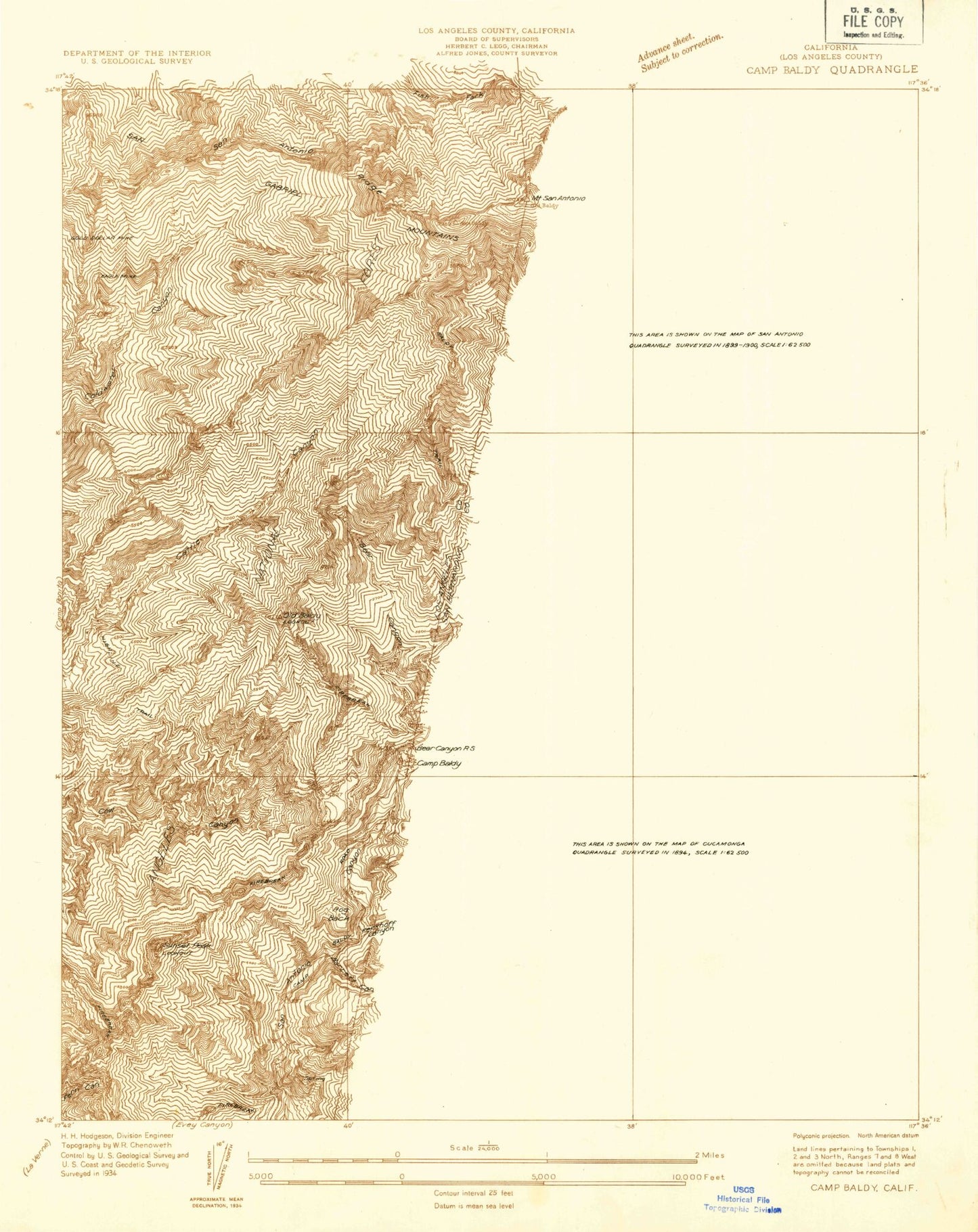
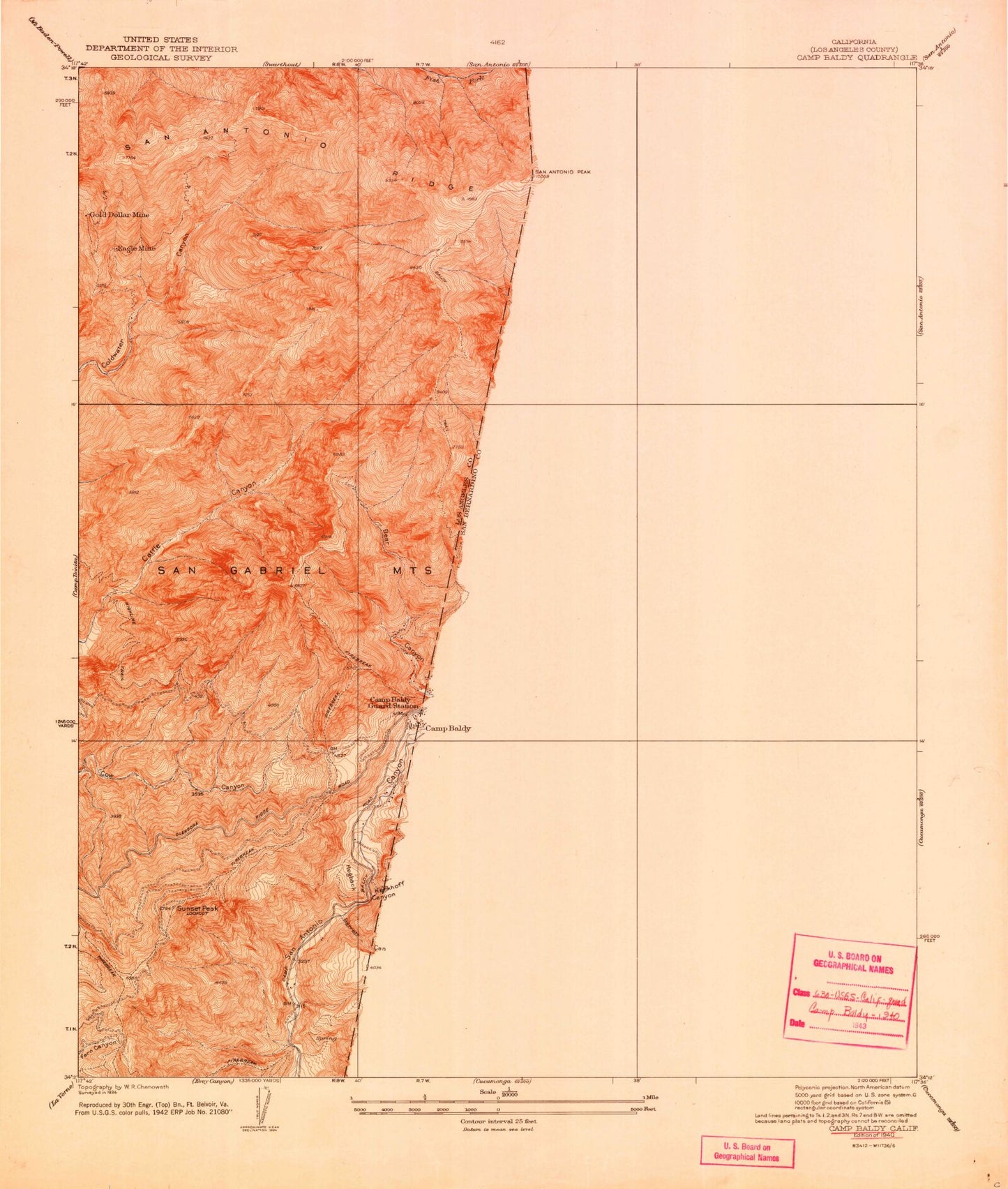
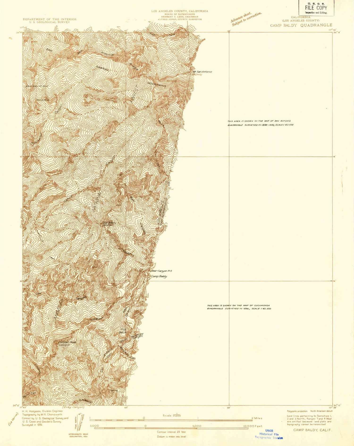
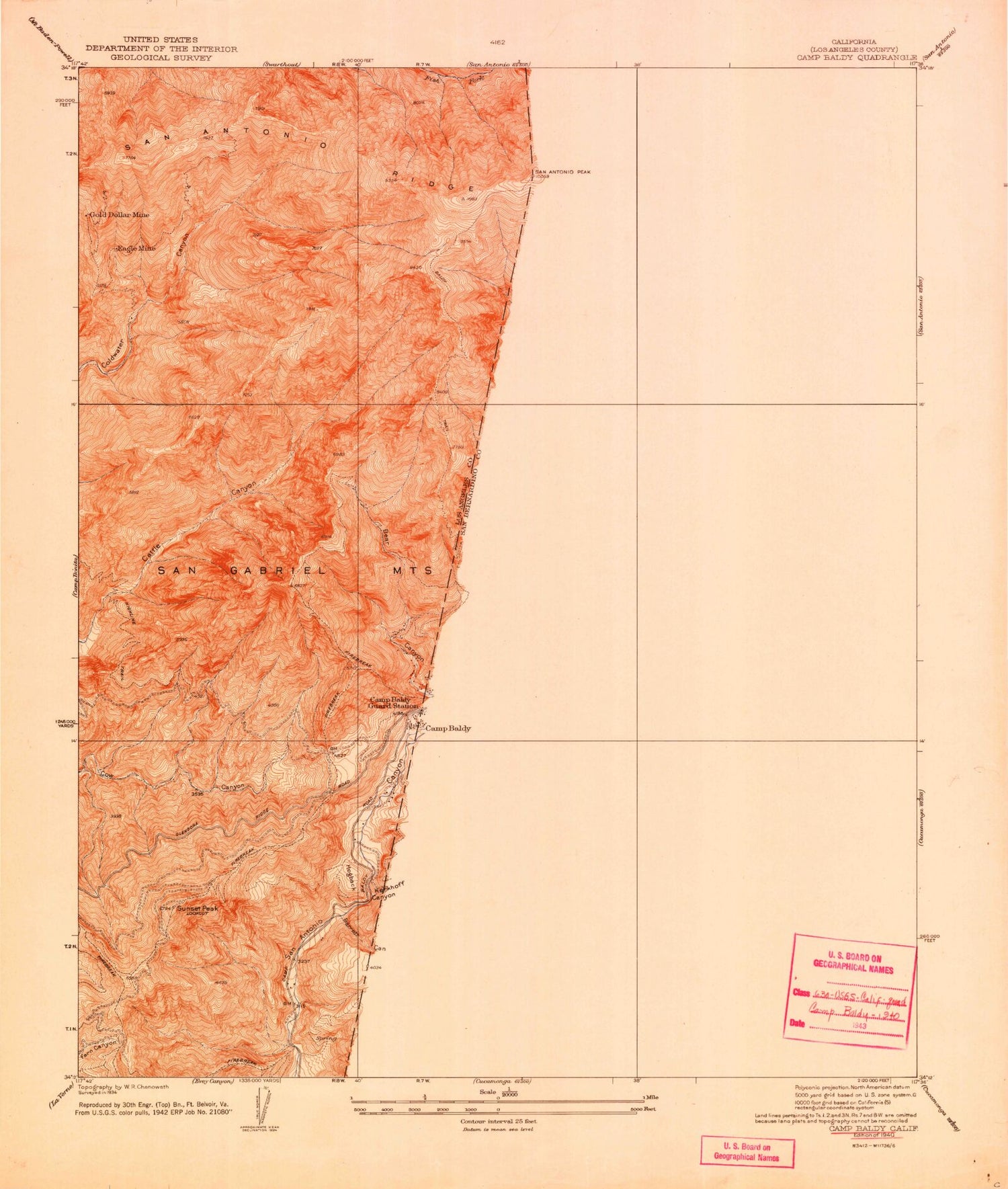
USGS Classic Camp Baldy California 7.5'x7.5' Topo Map
Couldn't load pickup availability
Historical USGS topographic quad map of Camp Baldy in the state of California. Scale: 1:24000. Print size: 24" x 27"
This quadrangle is in the following counties: Los Angeles, San Bernardino.
The map contains contour lines, roads, rivers, towns, lakes, and grids including latitude / longitude and UTM / MGRS. Printed on high-quality waterproof paper with UV fade-resistant inks.
Contains the following named places: Devils Backbone, Gold Ridge, Manker Canyon, Miners Bowl, Mount Baldy Notch, San Gabriel Mountains, Thunder Mountain, Baldy Trail, Barrett Canyon, Bear Canyon, Bear Flat, Big Butch Wash, Big Horn Ridge, Camp San Antonio, Cascade Canyon, Cedar Canyon, Cherry Canyon, Columbine Spring, Cow Canyon Saddle, Delker Canyon, Dry Lake Canyon, Eagle Mine, Fallen Leaf Spring, Falling Rock Canyon, Fir Draw, Glacier Camp, Gold Dollar Mine, Gold Ridge Mine, Mount Harwood, Icehouse Canyon, Kelly Camp, Kerkoff Canyon, Lookout Mountain, Lost Creek, Manker Flat, North Fork Barrett Canyon, Ontario Peak, Ontario Peak Trail, San Antonio Falls, San Antonio Ridge, Mount San Antonio, Sheep Canyon, Sheep Flat, Shortcut Ridge, Spring Hill, Stoddard Flat, Sugarloaf Peak, Sunset Peak, Telegraph Wash, West Fork Bear Canyon, Glacier Picnic Ground, Manker Campground, Glacier Picnic Area, Manker Campground, Sunset Peak Lookout, Mount Baldy Forest Service Facility, Mount Baldy Visitor Information Station, Mount Baldy, Hog Back, Dells (historical), Forked Spruce Spring, Mount Baldy Elementary School, Mount Baldy Post Office, San Bernardino County Fire Department Station 200 - Mount Baldly, Mt Baldy Post Office


