MyTopo
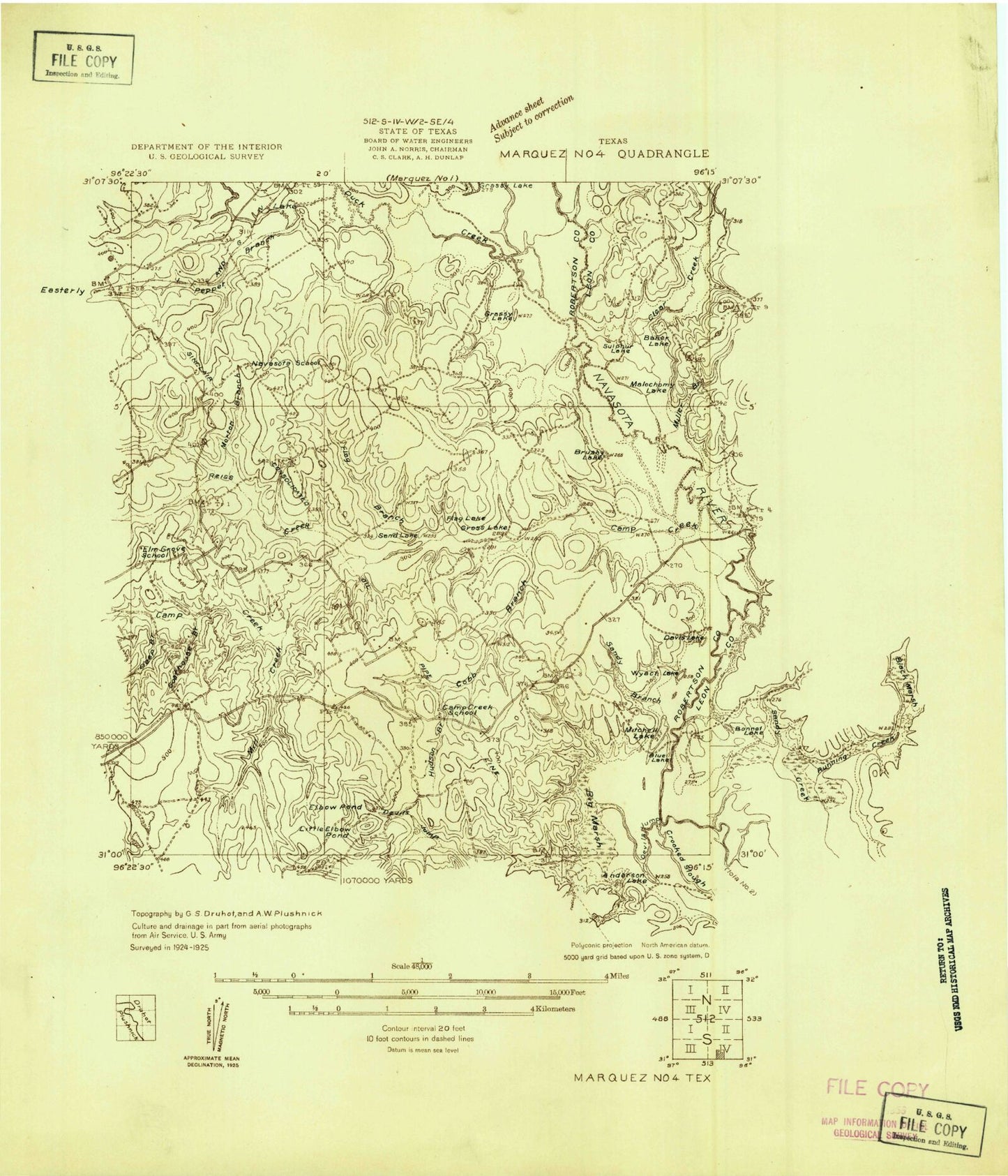
Classic USGS Camp Creek Lake Texas 7.5'x7.5' Topo Map
Couldn't load pickup availability
Historical USGS topographic quad map of Camp Creek Lake in the state of Texas. Map scale may vary for some years, but is generally around 1:24,000. Print size is approximately 24" x 27"
This quadrangle is in the following counties: Leon, Robertson.
The map contains contour lines, roads, rivers, towns, and lakes. Printed on high-quality waterproof paper with UV fade-resistant inks, and shipped rolled.
Contains the following named places: Big Marsh, Black Bay, Blue Lake, Boggy Branch, Brushy Lake, Busby Hollow, Camp Creek Cemetery, Camp Creek Lake, Camp Creek Lake Dam, Clear Creek, Cobb Branch, Davis Lake, Deep Branch, Devils Jump Creek, Devils Lake, Duck Creek, Easterly Cemetery, Elbow Pond, Elm Grove Church, Flag Branch, Goathouse Branch, Hoxie Chapel Cemetery, Hudson Branch, James Cemetery, Kury Lake, Little Elbow Pond, Malochomy Lake, Mill Creek, Miller Branch, Mitchell Lake, Morton Branch, Ned Branch, Pepper Branch, Reiss Creek, Sandy Branch, Sulphur Lake, W D Kury Dam, Wilburn Lake, Wyach Lake


