
MyTopo
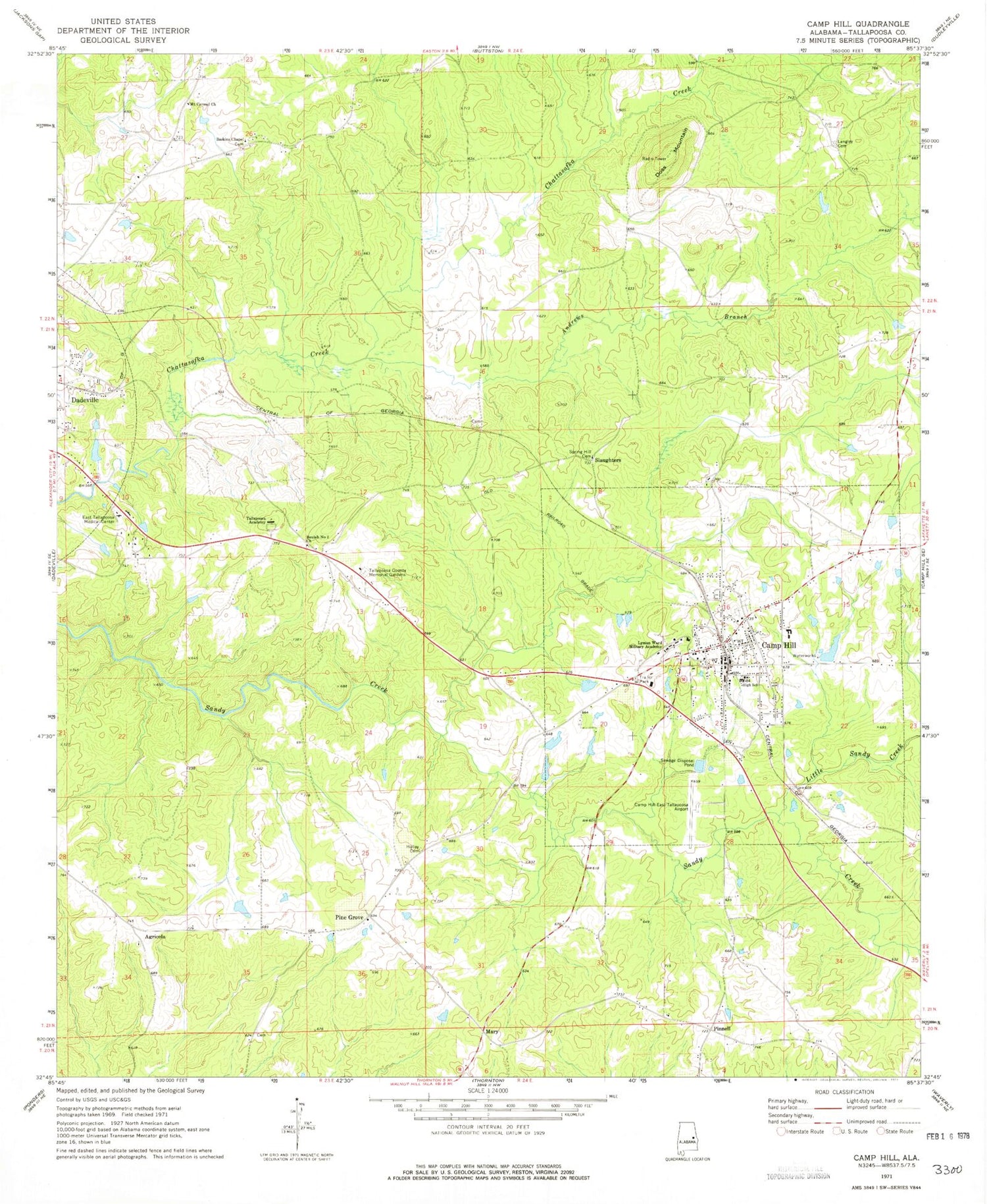
Classic USGS Camp Hill Alabama 7.5'x7.5' Topo Map
Couldn't load pickup availability
Historical USGS topographic quad map of Camp Hill in the state of Alabama. Map scale may vary for some years, but is generally around 1:24,000. Print size is approximately 24" x 27"
This quadrangle is in the following counties: Tallapoosa.
The map contains contour lines, roads, rivers, towns, and lakes. Printed on high-quality waterproof paper with UV fade-resistant inks, and shipped rolled.
Contains the following named places: Agricola, Andrews Branch, Baskins Chapel, Beulah Number 2 Church, Bradshaw Dam, Bradshaw Lake, Camp Hill, Camp Hill Baptist Church, Camp Hill Division, Camp Hill High School, Camp Hill Post Office, Camp Hill Reservoir, Camp Hill Reservoir Dam, Camp Hill Volunteer Fire Department, Camp Hill-Tallapoosa County Airport, Civilian Conservation Corps Camp Number 1405, Collum Mine, Doss Mountain, Edward Bell High School, Farington Dam, Farington Lake, First Methodist Episcopal Church, First Universalist Church, General Pearson Family Cemetery, Holley Cemetery, Lake Martin Community Hospital, Langley Cemetery, Little Sandy Creek, Lyman Ward Military Academy, Mary, Mount Carmel Church, Mount Carmel School, New Poplar Springs Church, North Fork Sandy Creek, Pine Grove, Pine Grove Church, Pinkston Prospects, Pinnell, Slaughters, Slaughters Cemetery, Spring Hill Cemetery, Tallapoosa Academy, Tallapoosa County Memorial Gardens, Town of Camp Hill, ZIP Code: 36850


