MyTopo
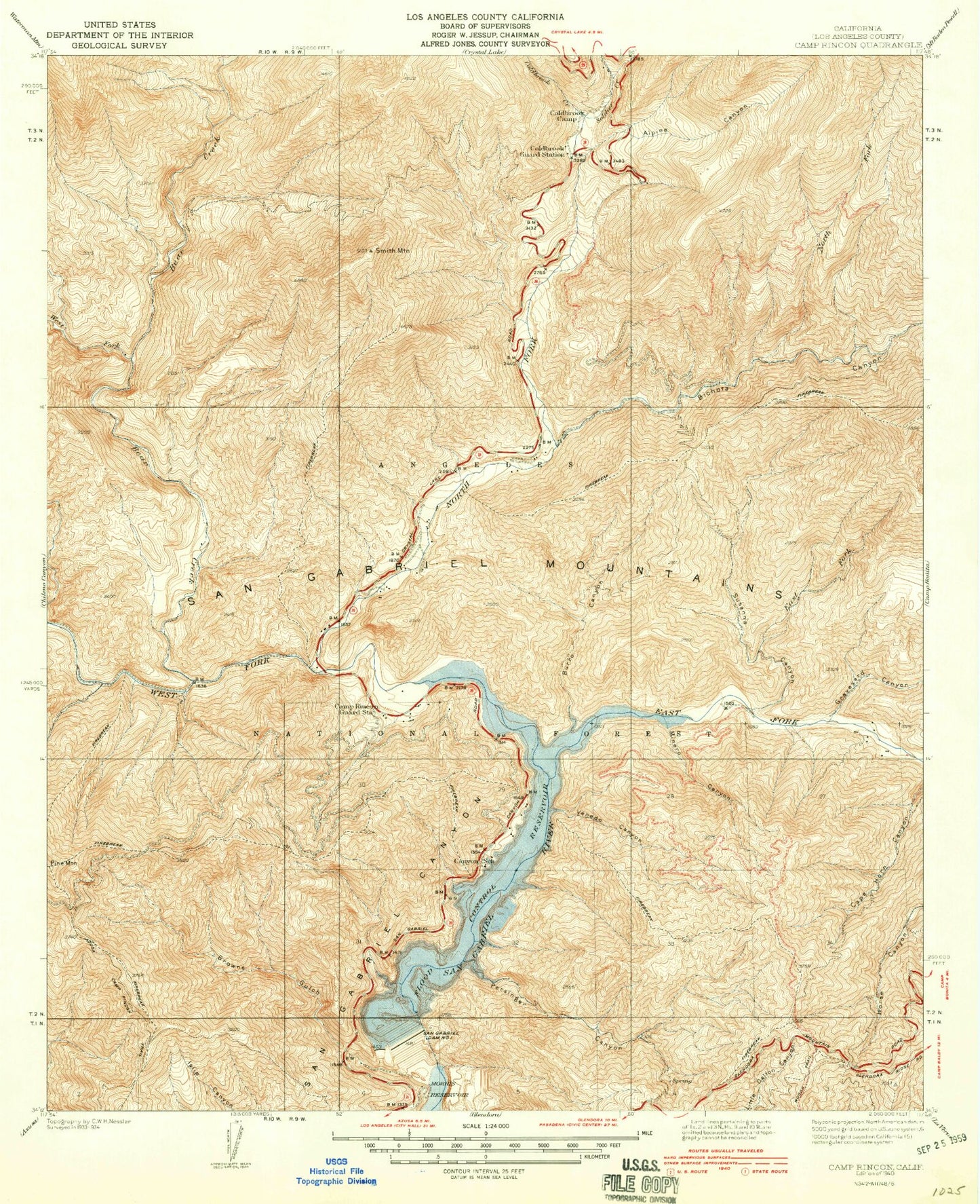
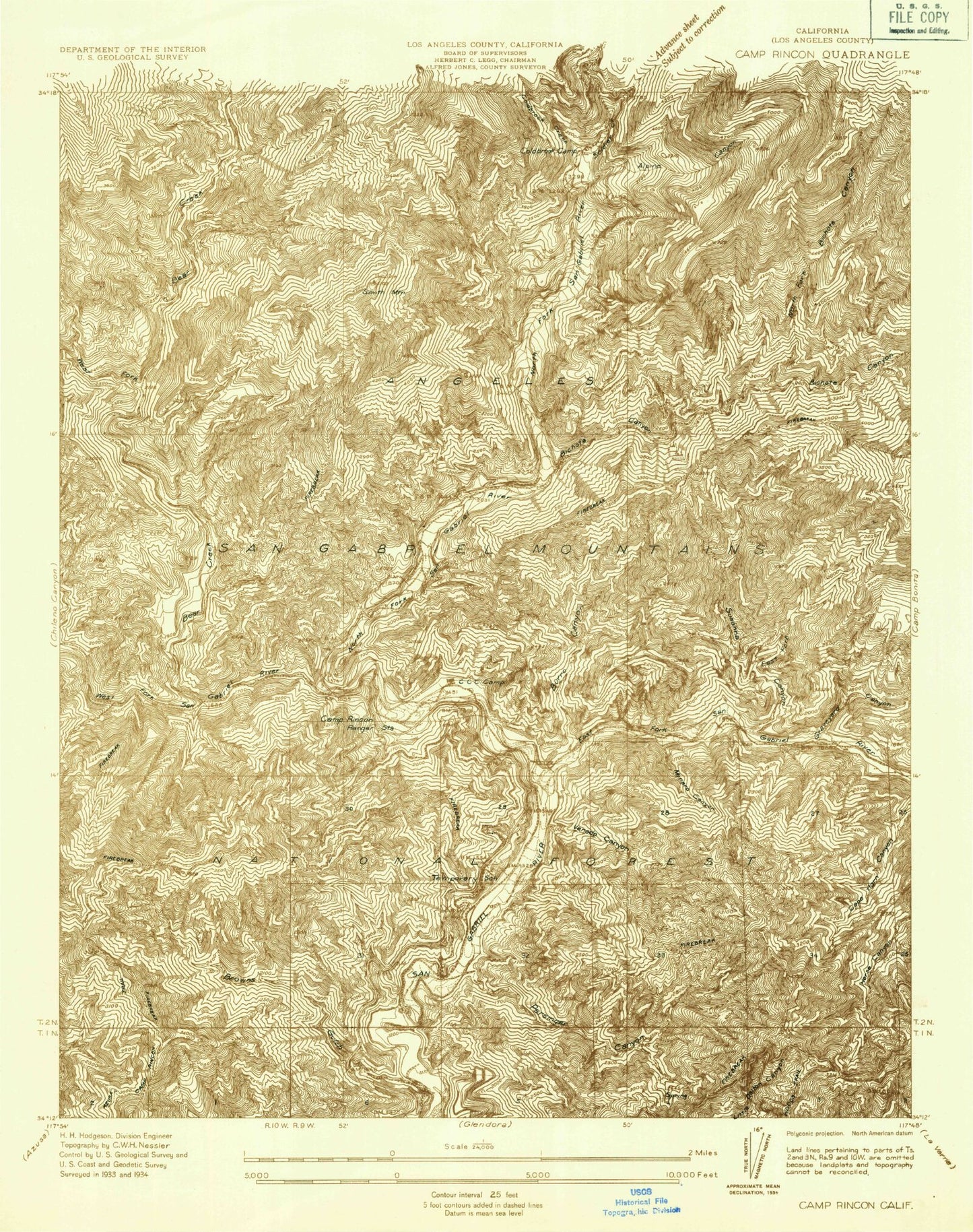
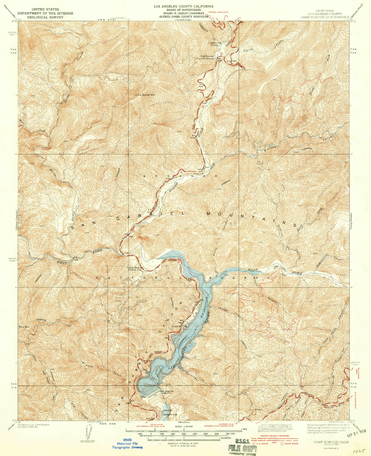
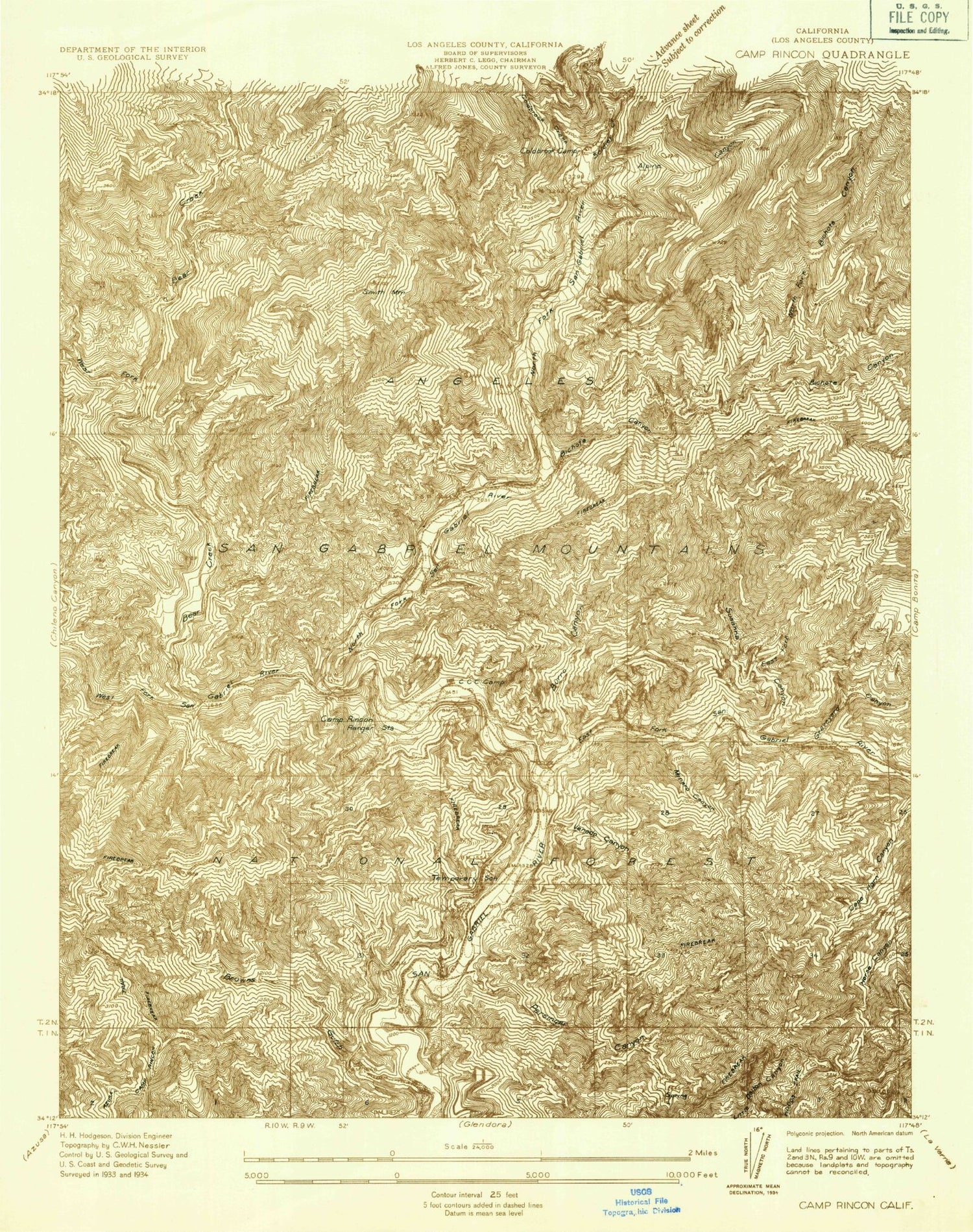
Classic USGS Camp Rincon California 7.5'x7.5' Topo Map
Couldn't load pickup availability
Historical USGS topographic quad map of Camp Rincon in the state of California. Typical map scale is 1:24,000, but may vary for certain years, if available. Print size: 24" x 27"
This quadrangle is in the following counties: Los Angeles.
The map contains contour lines, roads, rivers, towns, and lakes. Printed on high-quality waterproof paper with UV fade-resistant inks, and shipped rolled.
Contains the following named places: Alpine Canyon, Bear Creek, Bear Creek Trail, Burro Peak, Cloudburst Canyon, Coldbrook Creek, Lost Canyon, Maple Canyon, Phipps Canyon, Pigeon Ridge, Rockbound Canyon, Smith Mountain, West Fork Bear Creek, Bichota Canyon, Browns Gulch, Burro Canyon, Camp Oak Grove, East Fork Susanna Canyon, Fern Springs, Follows Camp, Graveyard Canyon, Horse Canyon Saddle, Minero Canyon, North Fork San Gabriel River, Persinger Canyon, Polecat Gulch, Rincon Canyon, Robbs Gulch, San Gabriel Dam, San Gabriel Reservoir, Shady Oaks Camp, Susanna Canyon, Venedo Canyon, West Fork San Gabriel River, Wild Honeybee Plantation, Area 1 Work Center Forest Service Facility, West Fork Roadside Rest, Pigeon Target Shooting Area, Valley of the Moon Plantation, Coldbrook Campground, Tecolate Plantation, Chamisal Mesa, Upper Bear Trail Camp, Lower Bear Campground, Soldier Creek, Coldbrook Guard Station, Bichota Mesa, Burro Shooting Park, Hoot Owl Flats, Cotton Tail Plantation, Davis Mine


