MyTopo
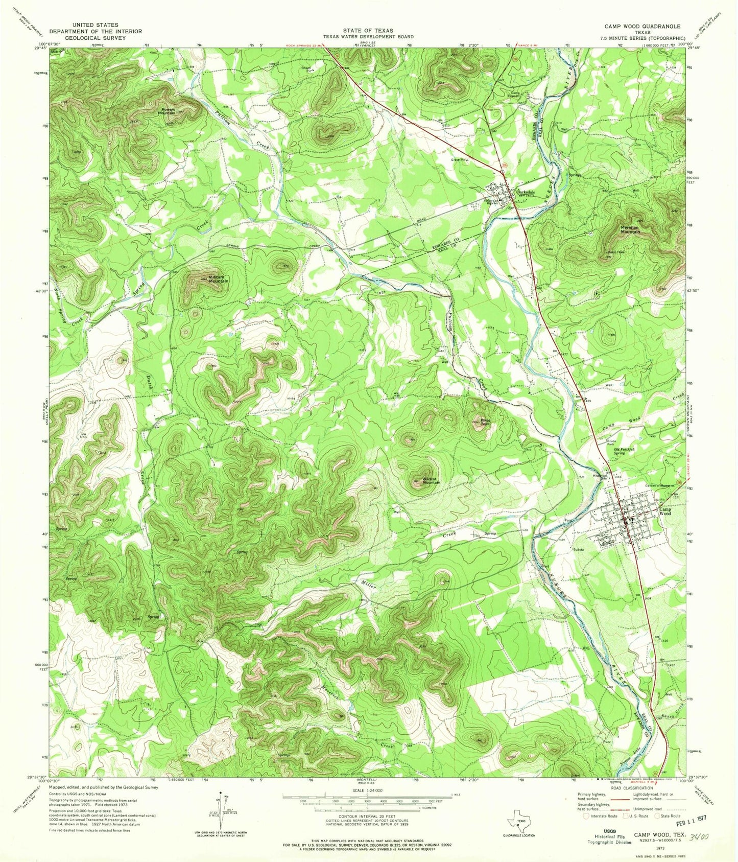
Classic USGS Camp Wood Texas 7.5'x7.5' Topo Map
Couldn't load pickup availability
Historical USGS topographic quad map of Camp Wood in the state of Texas. Typical map scale is 1:24,000, but may vary for certain years, if available. Print size: 24" x 27"
This quadrangle is in the following counties: Edwards, Real.
The map contains contour lines, roads, rivers, towns, and lakes. Printed on high-quality waterproof paper with UV fade-resistant inks, and shipped rolled.
Contains the following named places: Barksdale, Bruce Park, Camp Fawcett, Camp Wood, Camp Wood Creek, Dutch Creek, Garden of Memories, Meridian Mountain, Military Mountain, Miller Creek, North Spring Creek, Nueces Can High School, Old Faithful Spring, Pikes Peak, Powers Mountain, Ranch Creek, Spring Creek, Wildcat Mountain, Dry Creek, Pulliam Creek, Camp Wood Spring, City of Camp Wood, Nueces Canyon Volunteer Fire Department, Emergency Medical Services Camp Wood, Camp Wood Post Office, Barksdale Post Office, Camp Wood City Offices, Barksdale Cemetery, Barksdale Census Designated Place


