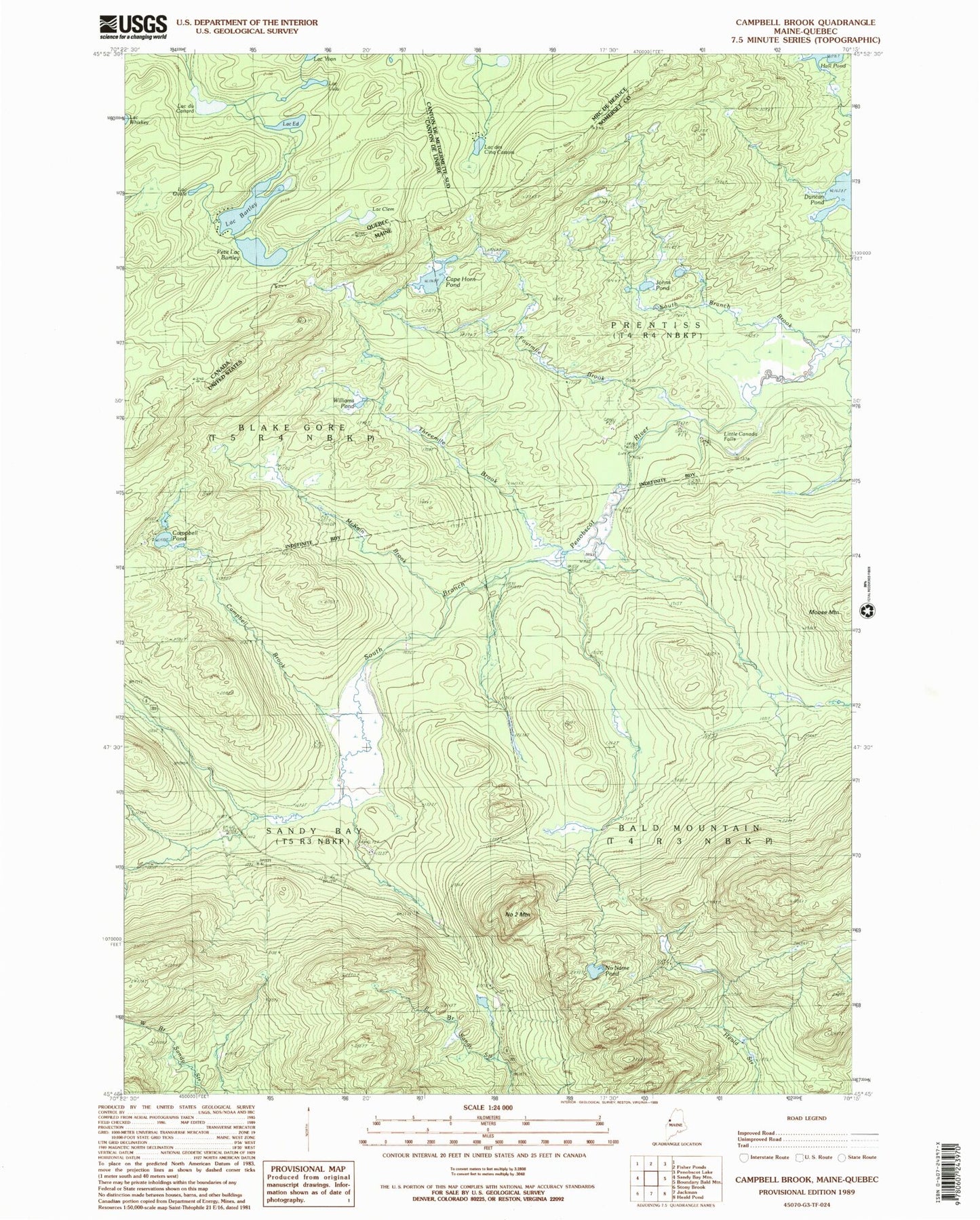
MyTopo
Classic USGS Campbell Brook Maine 7.5'x7.5' Topo Map
Couldn't load pickup availability
Historical USGS topographic quad map of Campbell Brook in the state of Maine. Typical map scale is 1:24,000, but may vary for certain years, if available. Print size: 24" x 27"
This quadrangle is in the following counties: Somerset.
The map contains contour lines, roads, rivers, towns, and lakes. Printed on high-quality waterproof paper with UV fade-resistant inks, and shipped rolled.
Contains the following named places: Campbell Brook, Campbell Pond, Cape Horn Pond, Fourmile Brook, Hall Pond, Hilton Farm, Johns Pond, Little Canada Falls, McKain Brook, Moose Mountain, Number Two Mountain, No Name Pond, Sandy Bay Farm, South Branch Brook, South Branch Camp, Threemile Brook, Williams Pond, Township of Prentiss, Blake Gore, Sandy Bay Township