MyTopo
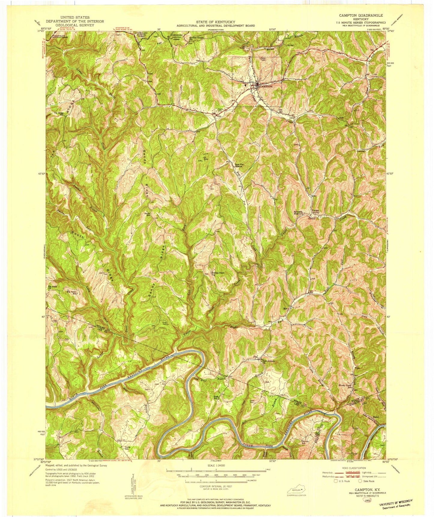
Classic USGS Campton Kentucky 7.5'x7.5' Topo Map
Couldn't load pickup availability
Historical USGS topographic quad map of Campton in the state of Kentucky. Map scale may vary for some years, but is generally around 1:24,000. Print size is approximately 24" x 27"
This quadrangle is in the following counties: Breathitt, Lee, Wolfe.
The map contains contour lines, roads, rivers, towns, and lakes. Printed on high-quality waterproof paper with UV fade-resistant inks, and shipped rolled.
Contains the following named places: Antioch, Bear Pen Creek, Bear Pen Mission, Bethesda Mission, Big Andy Church, Big Andy School, Blankey Branch, Bloody Creek, Bloody Creek School, Booth Ridge, Brush Creek, Cable Cemetery, Campton, Campton Division, Campton Lake, Campton Post Office, Carroll Cemetery, Cave Branch, City of Campton, Cow Hoof Branch, Crow Cemetery, Evans Cemetery, Flat, Flat Post Office, Fraley Creek, Grannie, Grannie Post Office, High Fall Railroad Station, High Falls, High Falls Post Office, Hiram Branch, Hurricane Branch, Hurst, Left Fork Upper Devil Creek, Little Bloody Creek, Little Fork, Lower Crooked Shoal Branch, Lower Devil Creek, Mary, Mary Church of Christ, Mary Post Office, Mary School, Meadows Branch, Middle Creek, Middle Fork Lower Devil Creek, Mill Branch, Mullins Point, Mullins Point Chapel, Mullins Point School, Nelson, New Antioch Church, Old Time Chapel, Panther Branch, Proffit Fork, Quillins Chapel School, Right Fork Upper Devil Creek, Rye, Sandy Ridge, Smith School, Smith Valley, Smoky Branch, Smoky Fork, South Church, Tar Ridge, Tar Ridge School, Union Church, Upper Devil Creek, Vortex, Vortex Post Office, Whisman Post Office, Wolfe County Ambulance Service, Wolfe County Fire Department, Wolfe County High School, Wolfe County Sheriff's Office


