MyTopo
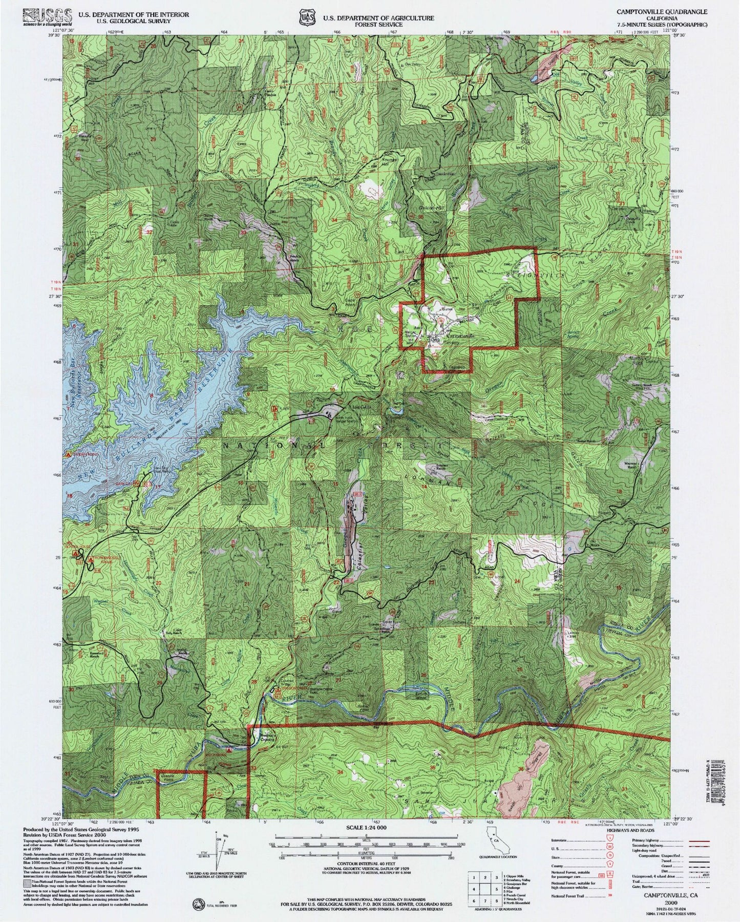
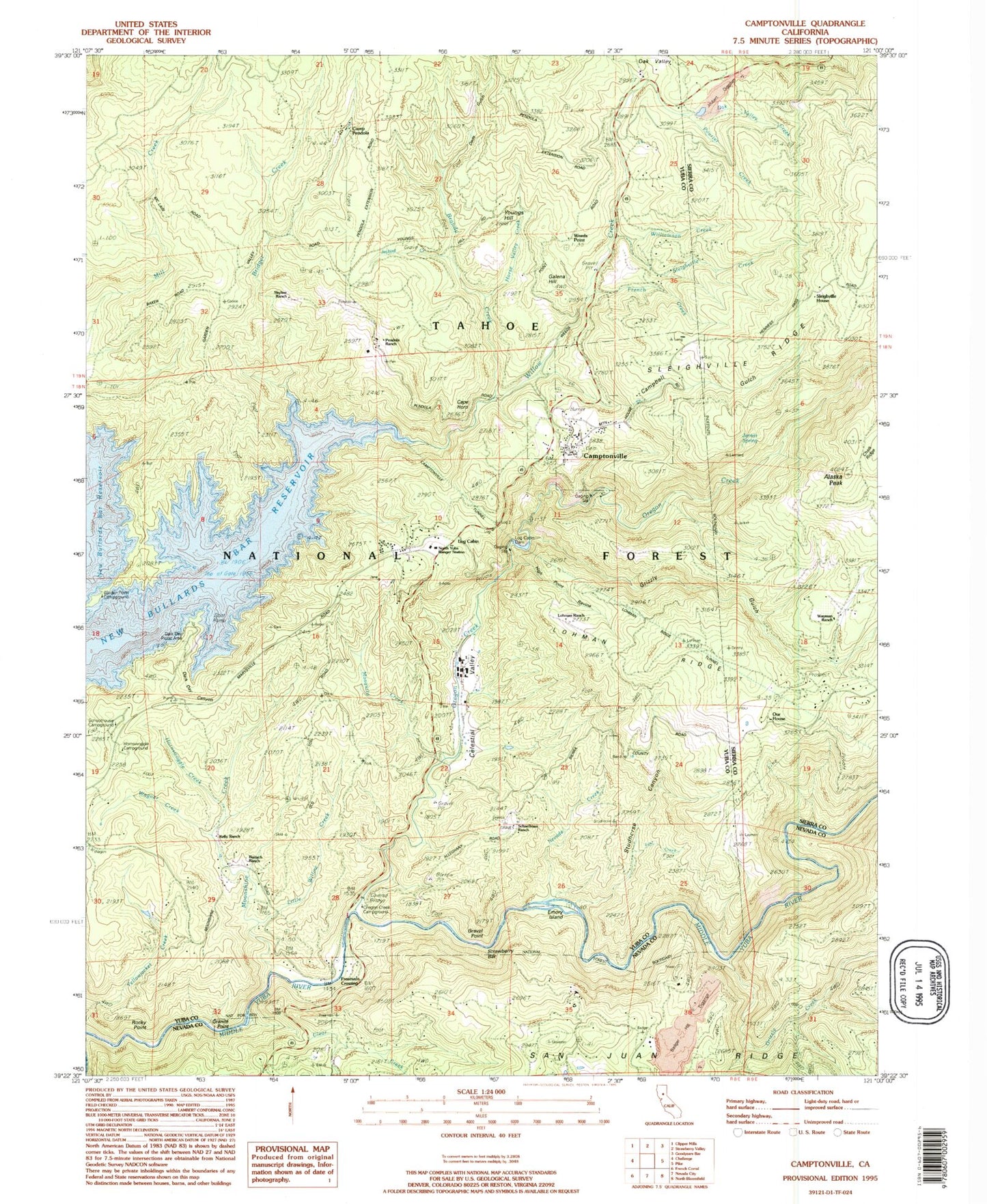
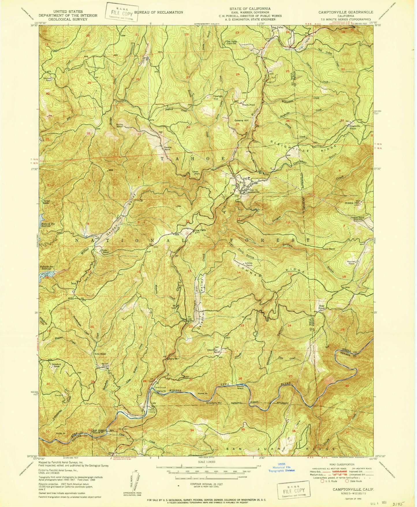
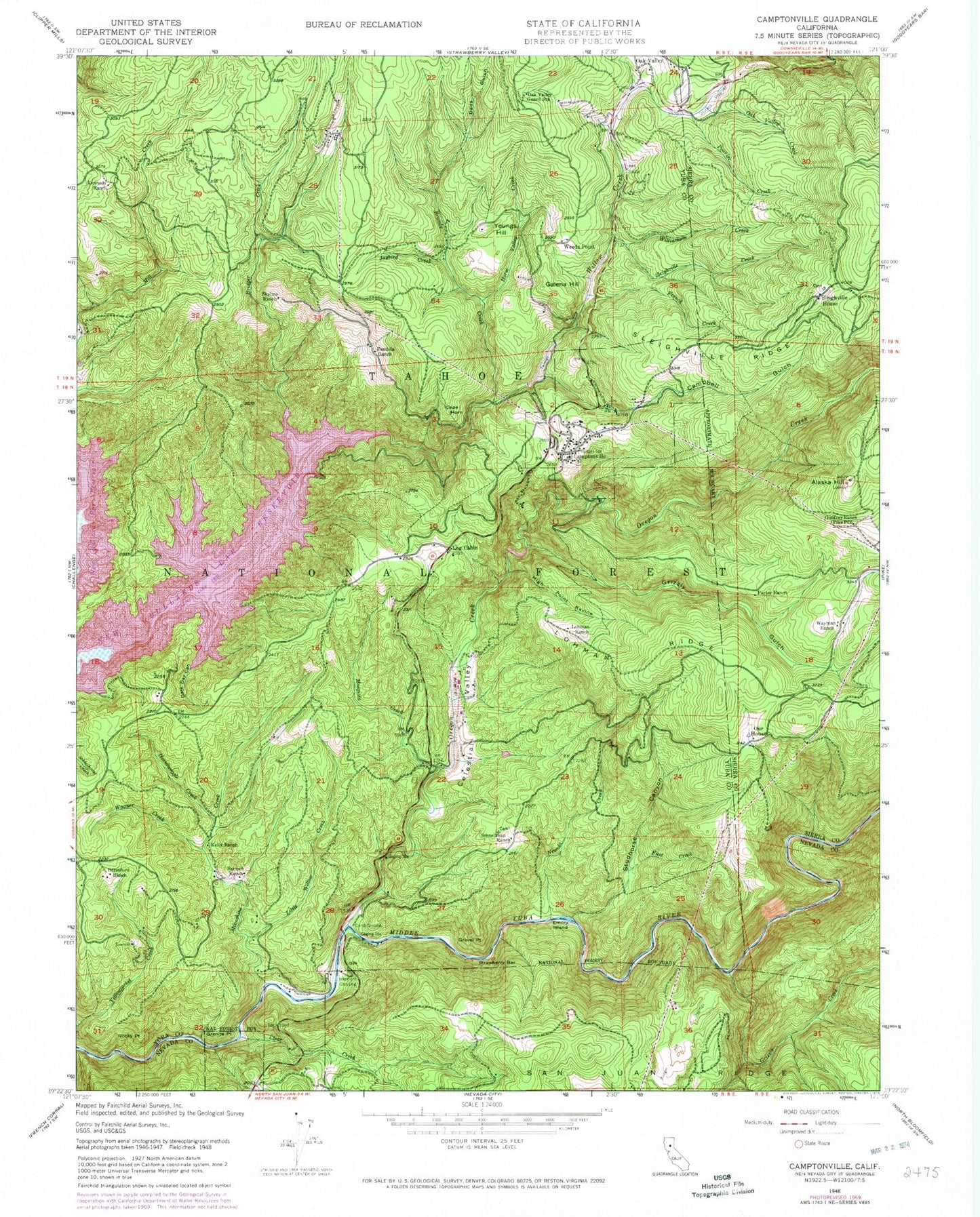
Classic USGS Camptonville California 7.5'x7.5' Topo Map
Couldn't load pickup availability
Historical USGS topographic quad map of Camptonville in the state of California. Map scale may vary for some years, but is generally around 1:24,000. Print size is approximately 24" x 27"
This quadrangle is in the following counties: Nevada, Sierra, Yuba.
The map contains contour lines, roads, rivers, towns, and lakes. Printed on high-quality waterproof paper with UV fade-resistant inks, and shipped rolled.
Contains the following named places: Alaska Peak, Badger Hill, Badger Hill Diggings, Bartsch Ranch, Beresford Ranch, Brandy Creek, Bridger Creek, Camp Pendola, Campbell Gulch, Camptonville, Camptonville Cemetery, Camptonville Census Designated Place, Camptonville Elementary School, Camptonville Post Office, Camptonville Tunnel, Camptonville Volunteer Fire Department, Cape Horn, Celestial Valley, Clear Creek, Dads Gulch, Dark Day Boat Ramp, Dark Day Canyon, Dark Day Picnic Area, Emory Ford, Emory Island, Fast Creek, Freemans Bridge, Freemans Crossing, French Creek, Galena Hill, Garden Valley, Godfrey Ranch, Granite Point, Grizzly Creek, Grizzly Gulch, High Point Ravine, Hornswaggle Group Campground, Hornswoggle Creek, Horse Valley, Horse Valley Creek, Jarrett Spring, Jaybird Creek, Joubert Diggings, Junction House, Kelly Ranch, Kennedy Ranch, Little Willow Creek, Log Cabin, Log Cabin 1034-003 Dam, Lohman Ranch, Lohman Ridge, Lohman Ridge Tunnel, Moonshine Campground, Moonshine Creek, Mosquito Creek, North Yuba Ranger Station, Oak Valley, Oak Valley Guard Station, Oregon Creek, Oregon Creek Picnic Area, Our House, Pendola Ranch, Pike City Volunteer Fire Department, Porter Ranch, Pourier Creek, Rocky Point, Rothe Ranch, Schoolhouse Campground, Skyline Ranch, Sleighville Creek, Sleighville House, Sleighville House Cemetery, Sleighville Ridge, Studhorse Canyon, United States Forest Service North Yuba Ranger Station, Wagner Creek, Wayman Ranch, Weeds Point, Williamson Creek, Willow Creek, Youngs Hill, ZIP Codes: 95922, 95960


