MyTopo
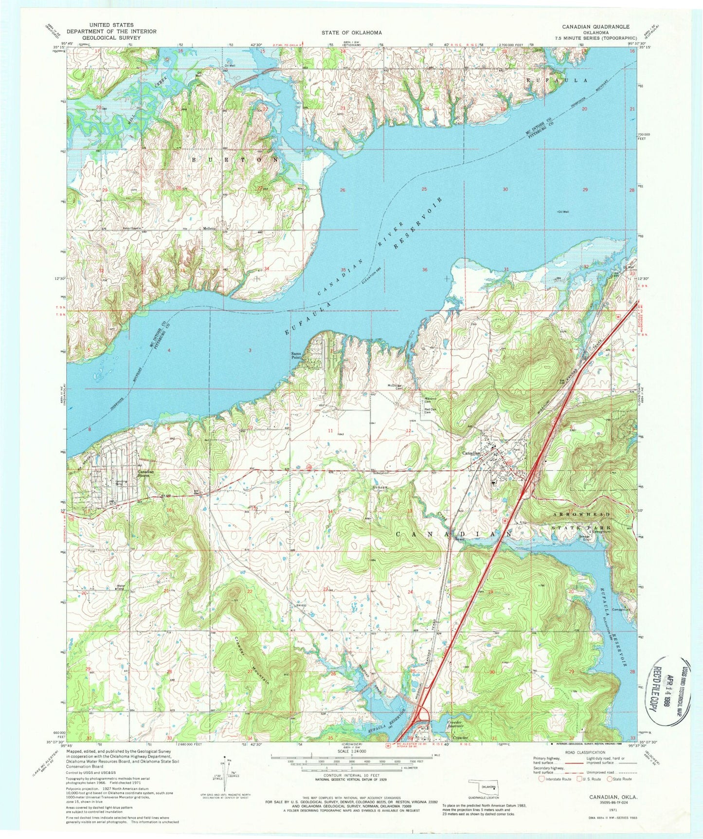
Classic USGS Canadian Oklahoma 7.5'x7.5' Topo Map
Couldn't load pickup availability
Historical USGS topographic quad map of Canadian in the state of Oklahoma. Map scale may vary for some years, but is generally around 1:24,000. Print size is approximately 24" x 27"
This quadrangle is in the following counties: McIntosh, Pittsburg.
The map contains contour lines, roads, rivers, towns, and lakes. Printed on high-quality waterproof paper with UV fade-resistant inks, and shipped rolled.
Contains the following named places: Arrowhead State Park, Burns Chapel, Canadian, Canadian Elementary School, Canadian High School, Canadian Post Office, Canadian Shores, Canadian Shores Census Designated Place, Canadian Shores Volunteer Fire Department, Canadian Volunteer Fire Department, Crowder Mountain, Crowder Reservoir, Crowder Reservoir Dam, Flat Rock Creek, Gibson Creek, Masonic Cemetery, McDougal Cemetery, Mellette, Mellette Cemetery, Mill Creek, Mill Creek Wildlife Managment Area, Old Mellette Cemetery, Red Oak Cemetery, Sams Point, Sams Point Volunteer Fire Department, Town of Canadian, Vivian Area Fire Protection Association Mill Creek, Wesley Cemetery, ZIP Codes: 74425, 74430