MyTopo
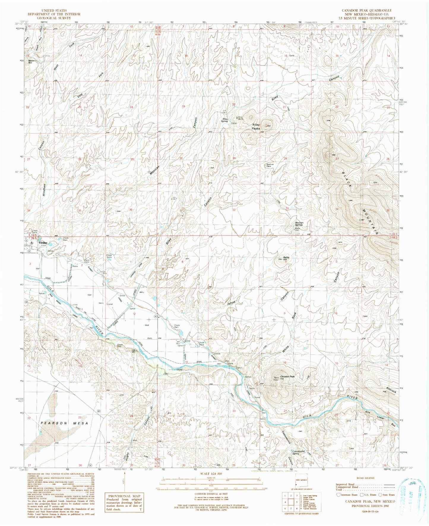
Classic USGS Canador Peak New Mexico 7.5'x7.5' Topo Map
Couldn't load pickup availability
Historical USGS topographic quad map of Canador Peak in the state of New Mexico. Map scale may vary for some years, but is generally around 1:24,000. Print size is approximately 24" x 27"
This quadrangle is in the following counties: Hidalgo.
The map contains contour lines, roads, rivers, towns, and lakes. Printed on high-quality waterproof paper with UV fade-resistant inks, and shipped rolled.
Contains the following named places: 10002 Water Well, Baldy Hill, Black Mountain, Blue Creek Wilderness Study Area, Canador Peak, Canador Peak Windmill, Cottonwood Canyon, Cottonwood Spring, East Fork Windham Canyon, Gila Lower Box, Gila Lower Box Wilderness Study Area, Hughs Canyon, Johns Canyon, Mexican Canyon, Mexican Springs, Moore Box, Pearson Mesa, Riley Canyon, Riley Peaks, Riley Spring, Rimrock, Steeple Rock Canyon, Sunset Canal, Tank Number 1, Virden Catholic Cemetery, West Fork Windham Canyon, White Rock Canyon