
MyTopo
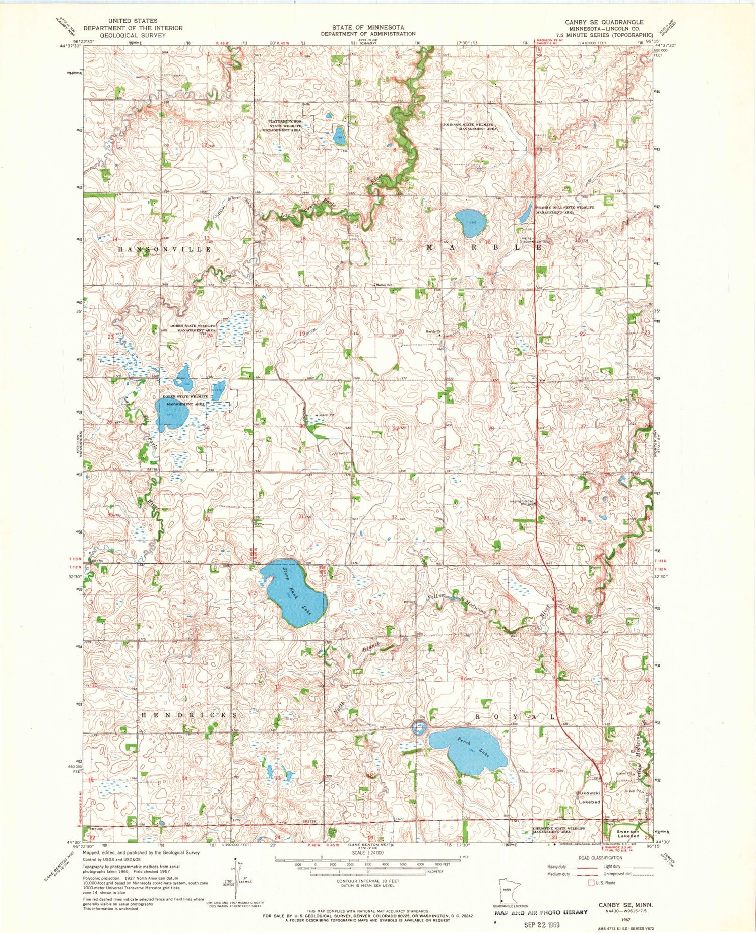
Classic USGS Canby SE Minnesota 7.5'x7.5' Topo Map
Couldn't load pickup availability
Historical USGS topographic quad map of Canby SE in the state of Minnesota. Map scale may vary for some years, but is generally around 1:24,000. Print size is approximately 24" x 27"
This quadrangle is in the following counties: Lincoln.
The map contains contour lines, roads, rivers, towns, and lakes. Printed on high-quality waterproof paper with UV fade-resistant inks, and shipped rolled.
Contains the following named places: Bukowski Lakebed, Christine State Wildlife Management Area, Dorer State Wildlife Management Area, Johnson State Wildlife Management Area, Judicial Ditch Number Nineteen, Judicial Ditch Number Twentyone, Marble Cemetery, Marble Church, Marble School, Perch Lake, Platyrhynchos State Wildlife Management Area, Prairie Dell State Wildlife Management Area, Steep Bank Lake, Township of Marble, Township of Royal


