MyTopo
Classic USGS Candilla Canyon West Texas 7.5'x7.5' Topo Map
Regular price
$16.95
Regular price
Sale price
$16.95
Unit price
per
Couldn't load pickup availability
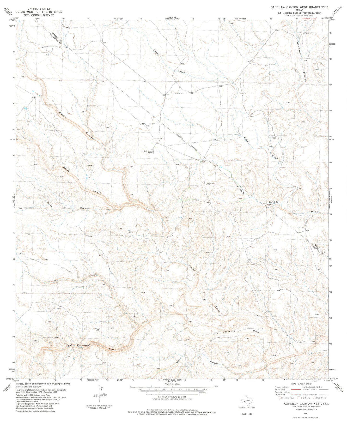
Historical USGS topographic quad map of Candilla Canyon West in the state of Texas. Map scale may vary for some years, but is generally around 1:24,000. Print size is approximately 24" x 27"
This quadrangle is in the following counties: Brewster, Terrell.
The map contains contour lines, roads, rivers, towns, and lakes. Printed on high-quality waterproof paper with UV fade-resistant inks, and shipped rolled.
Contains the following named places: Barrel Canyon, Brindle Canyon, Cedar Creek, Coe Springs, Cow Creek, Elders Ranch, Garcia Ranch, Horse Creek, Indian Wells, Maxon Creek, San Francisco, Stewart Ranch