MyTopo
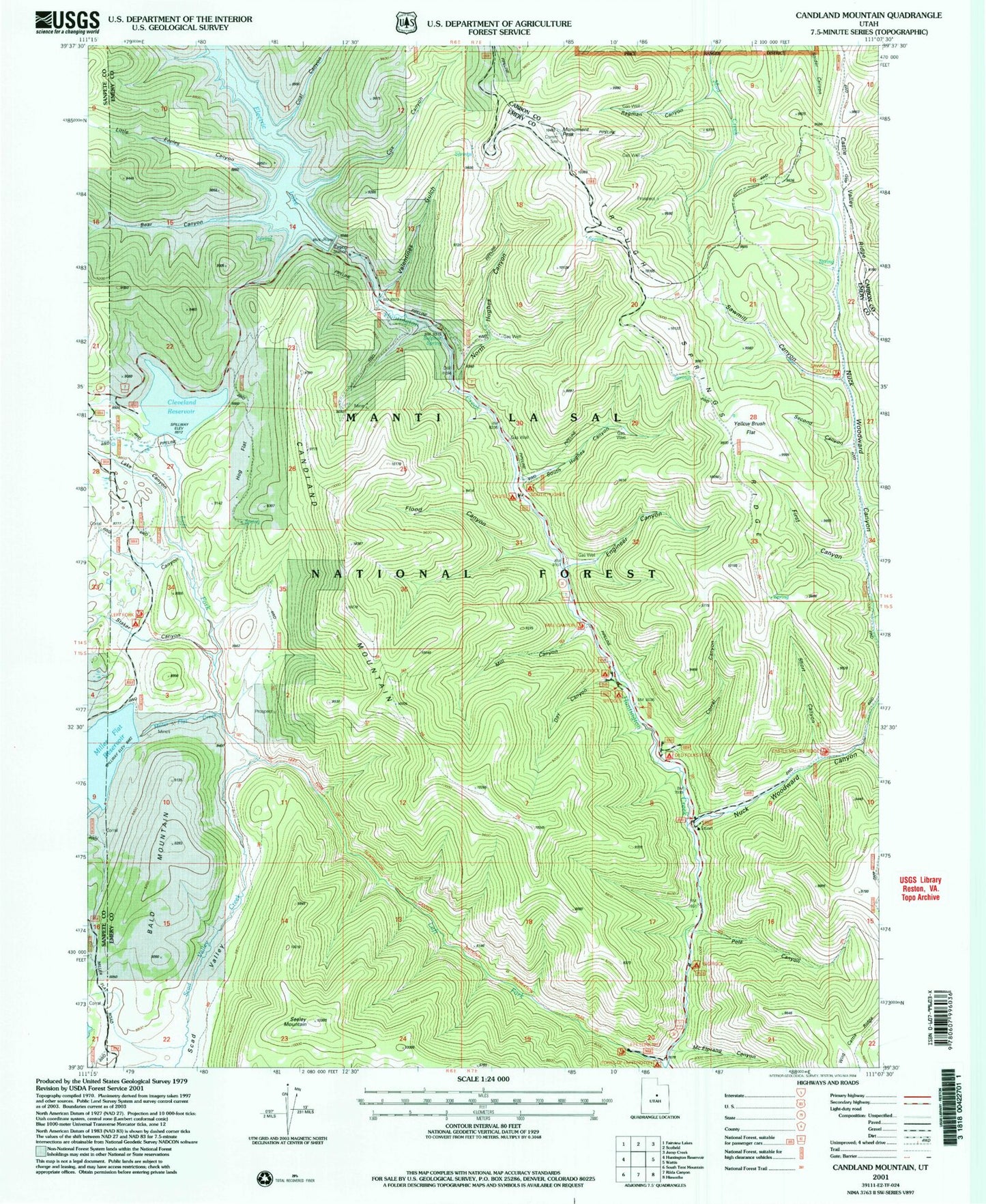
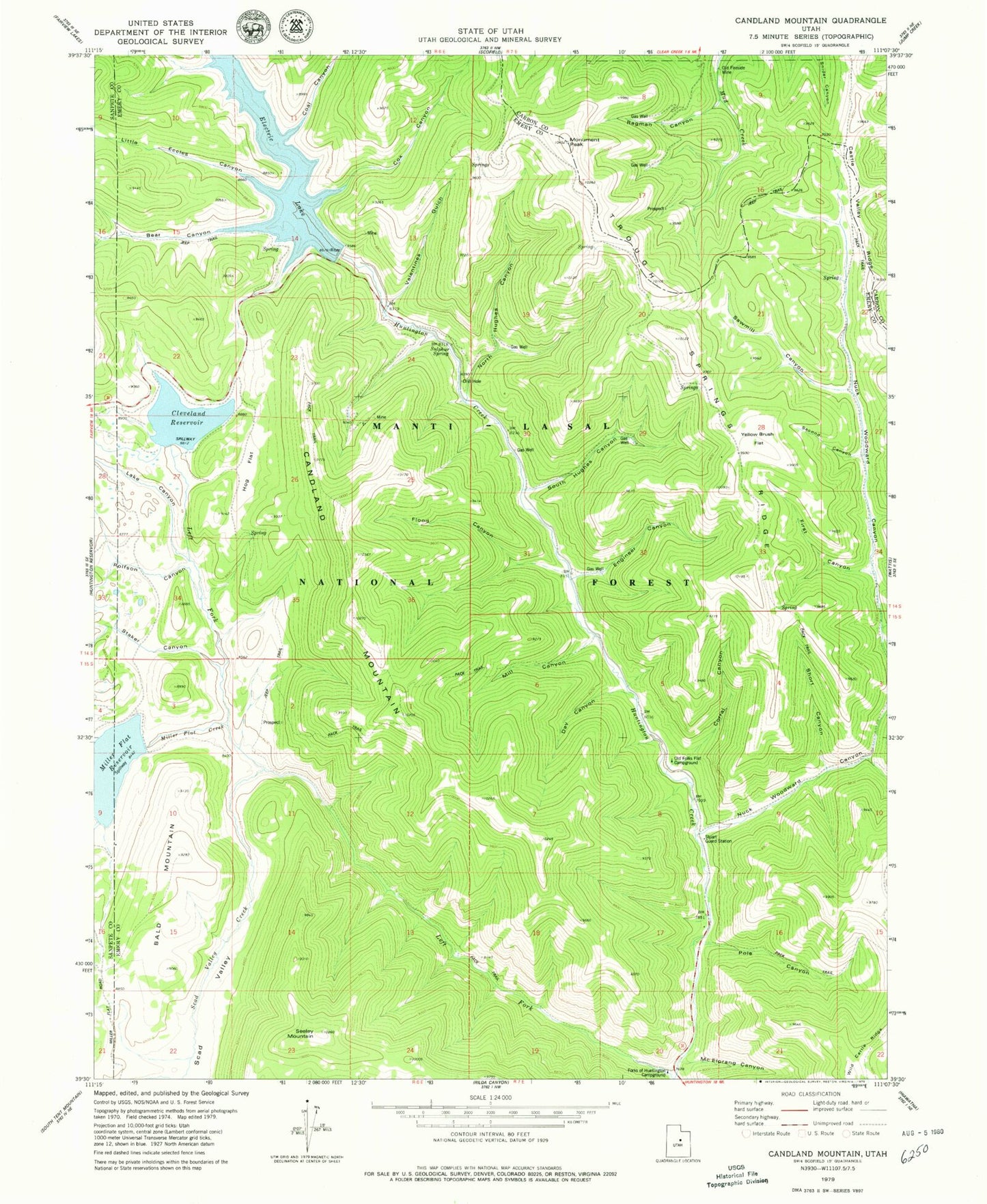
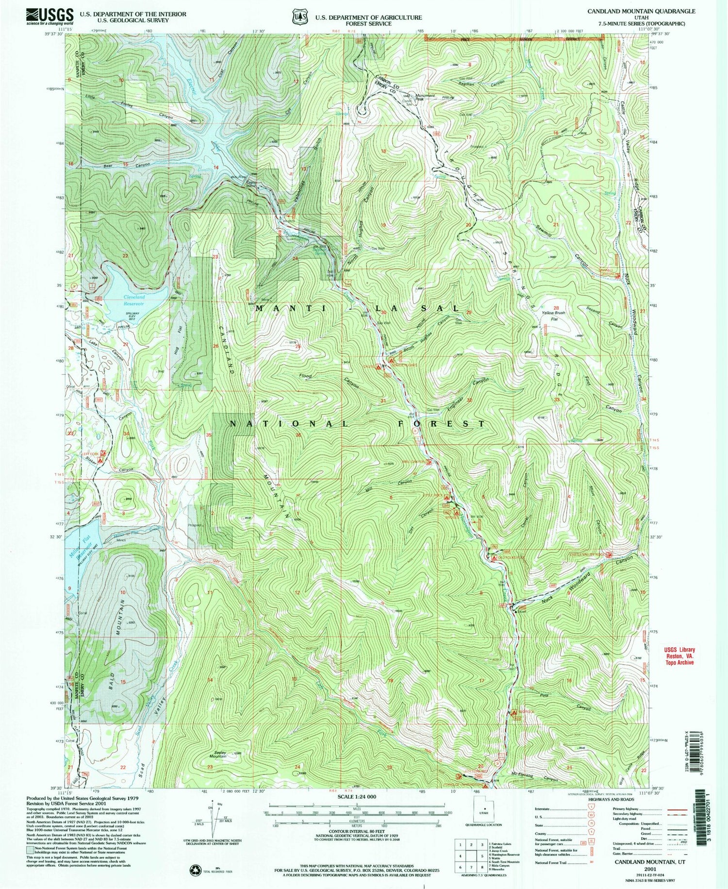
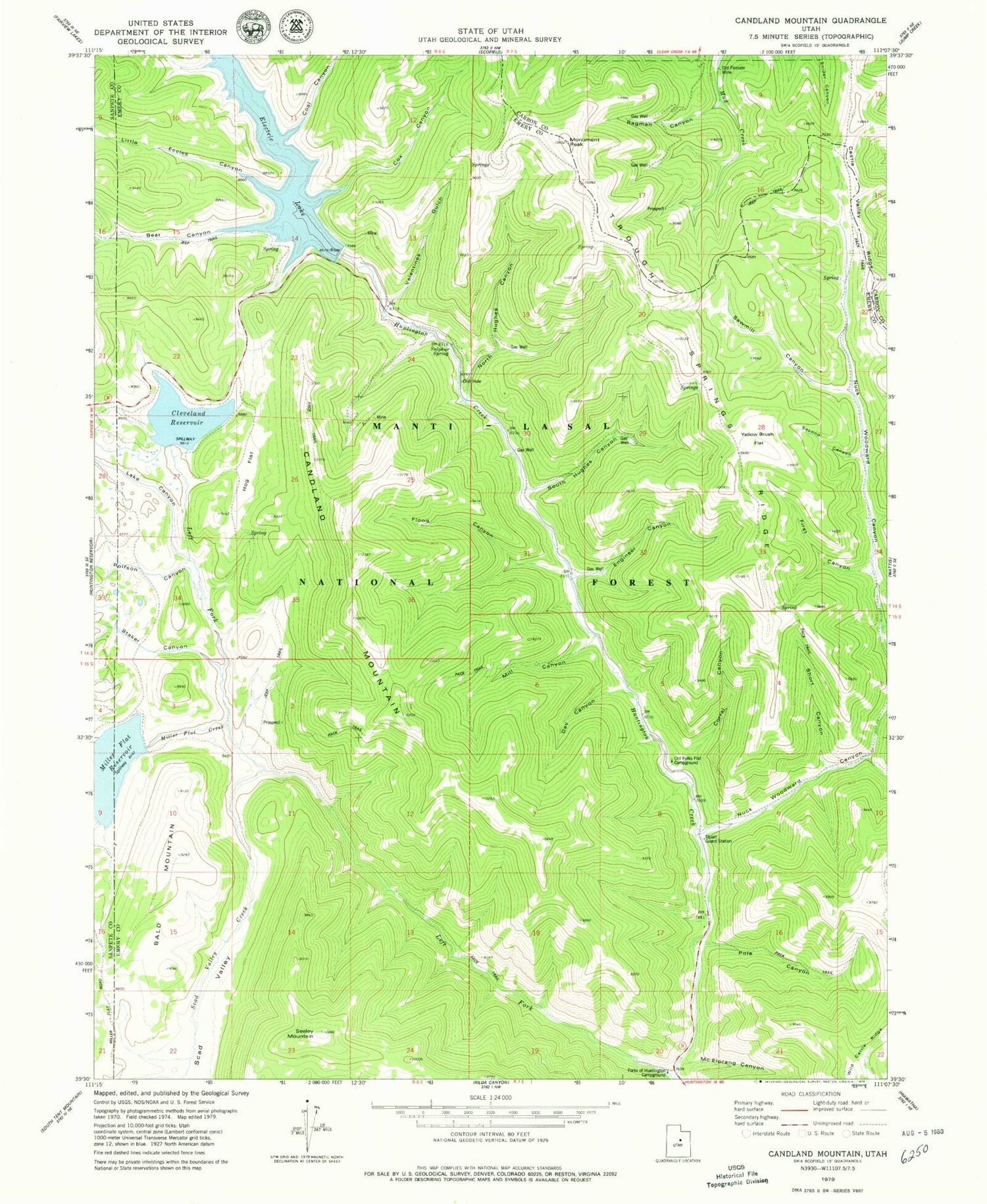
Classic USGS Candland Mountain Utah 7.5'x7.5' Topo Map
Couldn't load pickup availability
Historical USGS topographic quad map of Candland Mountain in the state of Utah. Typical map scale is 1:24,000, but may vary for certain years, if available. Print size: 24" x 27"
This quadrangle is in the following counties: Carbon, Emery, Sanpete.
The map contains contour lines, roads, rivers, towns, and lakes. Printed on high-quality waterproof paper with UV fade-resistant inks, and shipped rolled.
Contains the following named places: Miller Flat Reservoir, Nuck Woodward Canyon, Bald Mountain, Bear Canyon, Candland Mountain, Cleveland Reservoir, Coal Canyon, Corral Canyon, Cox Canyon, Fireside Mine, Flood Canyon, Hog Flat, Hughes Canyon, Huntington Mine, Lake Canyon, Little Eccles Canyon, Mill Canyon, Miller Flat Creek, Monument Peak, Old Larsen Mine, Pole Canyon, Scad Valley, Scad Valley Creek, Seeley Mountain, South Hughes Canyon, Staker Canyon, Sulphur Spring, Trough Springs Ridge, Valentines Gulch, Miller Flat Dam, Cleveland Dam, Electric Lake, Electric Lake Dam, Day Canyon, Engineer Canyon, First Canyon, Forks of Huntington Campground, McElprang Canyon, North Hughes Canyon, Old Fireside Mine, Old Folks Flat Campground, Ragman Canyon, Sawmill Canyon, Second Canyon, Short Canyon, Stuart Guard Station, Yellow Brush Flat


