MyTopo
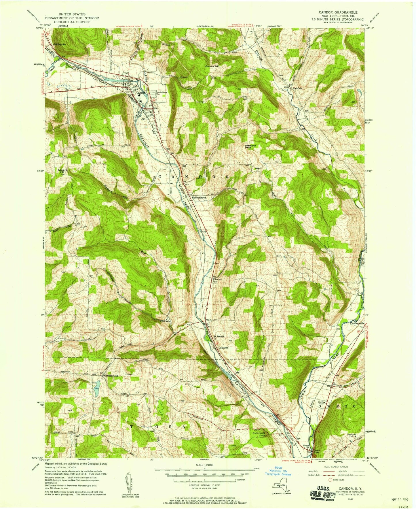
Classic USGS Candor New York 7.5'x7.5' Topo Map
Couldn't load pickup availability
Historical USGS topographic quad map of Candor in the state of New York. Map scale may vary for some years, but is generally around 1:24,000. Print size is approximately 24" x 27"
This quadrangle is in the following counties: Tioga.
The map contains contour lines, roads, rivers, towns, and lakes. Printed on high-quality waterproof paper with UV fade-resistant inks, and shipped rolled.
Contains the following named places: AA Dairy, Allen Memorial Baptist Church, Anderson Hill Cemetery, Buttermilk Falls, Candor, Candor Congregational Church, Candor Elementary School, Candor Emergency Squad, Candor Fire Department, Candor Free Library, Candor Health Center, Candor Hill, Candor Junior-Senior High School, Candor Post Office, Catatonk, Catatonk Golf Course, Cole Brook, Crimson Mobile Home Court, Diamond Peak, East Branch Owego Creek, Fairfield, Fallow Hollow Deer Farm, Fish Haven Farm, Germany Hill, Germany Hill Cemetery, Gridleyville, Hamar Estates, Hamar Mobile Home Estates, Hoyt Creek, Hubbard Hill, Hubbard Hill Brook, Hubbardtown, Iron Kettle Farm, Jewell Mobile Home Park, Kingdom Hall of Jehovah's Witnesses, Klossner Farms, Lane Collyer Field, Lord Hill Church, Maple Grove Cemetery, Owego Heights, Owego Heights Mobile Home Park, Pebble Hill Mobile Home Park, Pine Tree Mobile Home Park, Saint Francis Church, Saint Marks Episcopal Church, Seventh Day Adventist Church, Tioga County, Tioga Industrial Park, Town of Candor, Turners Bridge, Upper Fairfield Cemetery, Village of Candor, West Branch Owego Creek, Willseyville Creek, Woodbridge Cemetery, Zorn Pond, ZIP Code: 13743