MyTopo
Classic USGS Cane Bayou Mississippi 7.5'x7.5' Topo Map
Regular price
$16.95
Regular price
Sale price
$16.95
Unit price
per
Couldn't load pickup availability
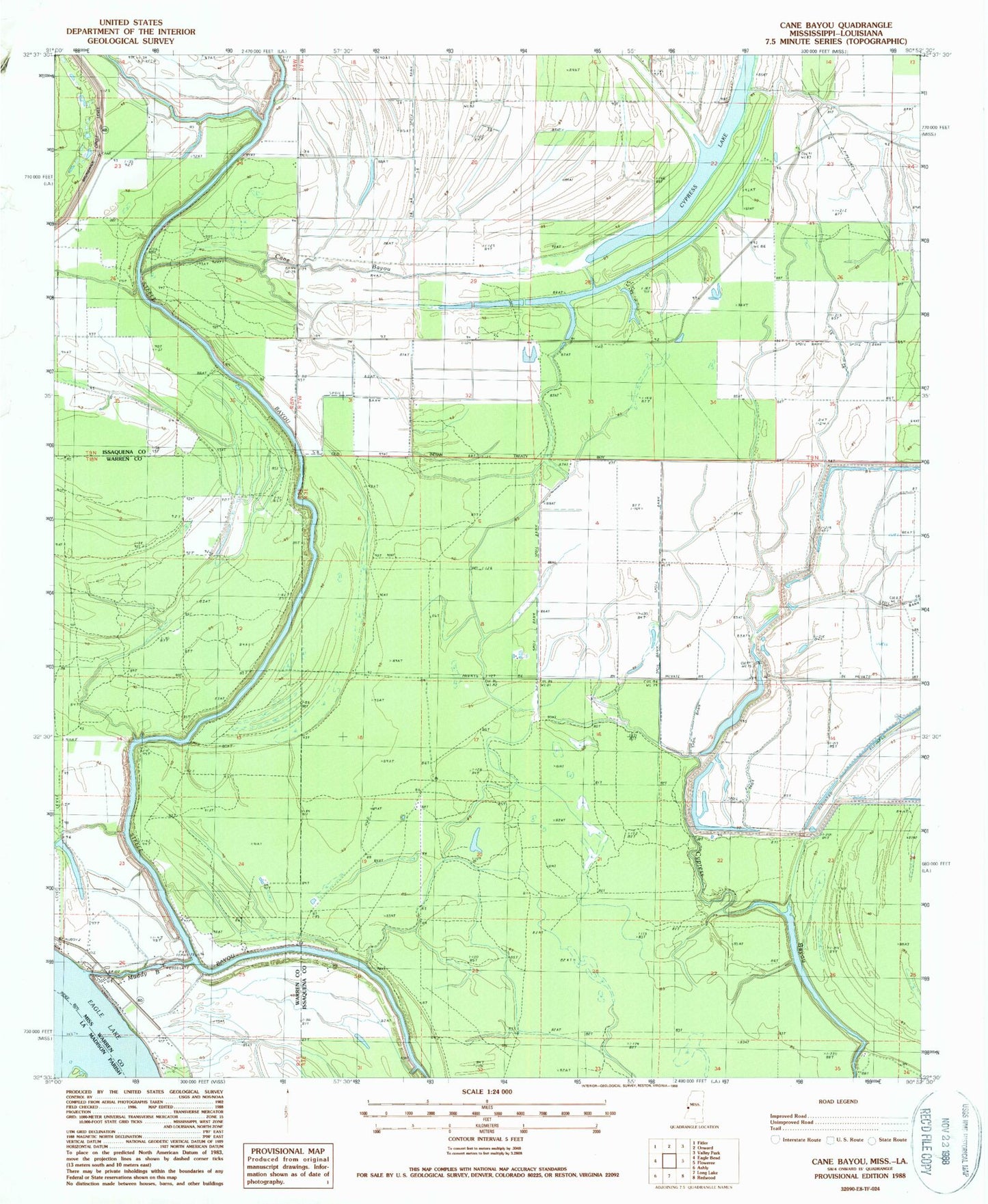
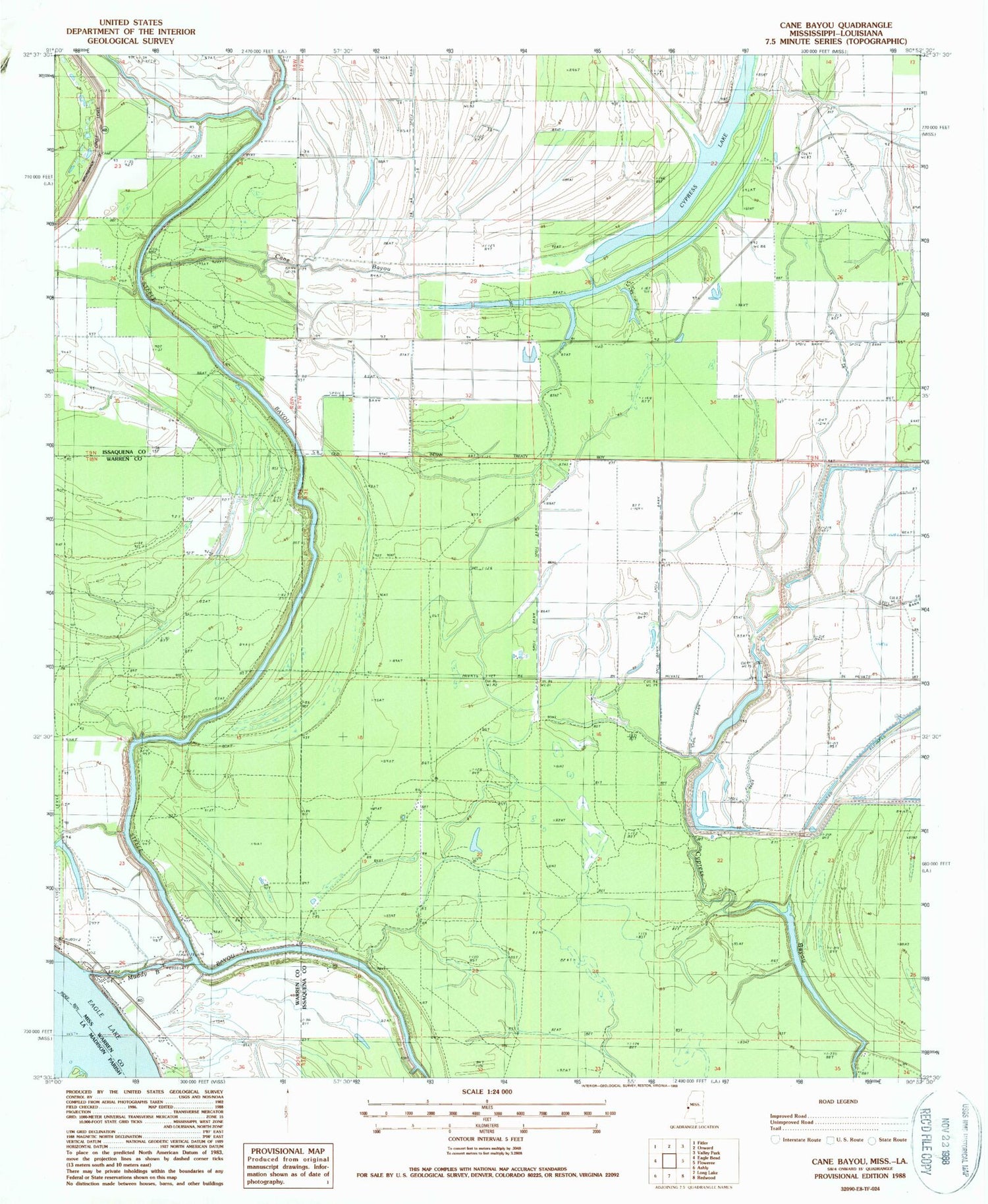
Historical USGS topographic quad map of Cane Bayou in the states of Mississippi, Louisiana. Map scale may vary for some years, but is generally around 1:24,000. Print size is approximately 24" x 27"
This quadrangle is in the following counties: Issaquena, Madison, Warren.
The map contains contour lines, roads, rivers, towns, and lakes. Printed on high-quality waterproof paper with UV fade-resistant inks, and shipped rolled.
Contains the following named places: Australia Island Number Onehundred and One, Cane Bayou, Cypress Lake, Eagle Lake Volunteer Fire Department, King Solomon Church, Muddy Bayou, Supervisor District 1, Willow Bayou