MyTopo
Classic USGS Canfield Arkansas 7.5'x7.5' Topo Map
Regular price
$16.95
Regular price
Sale price
$16.95
Unit price
per
Couldn't load pickup availability
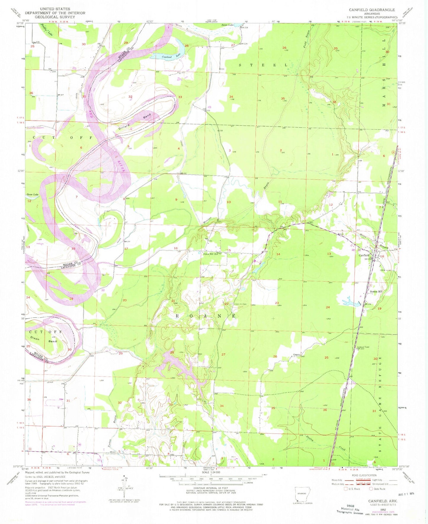
Historical USGS topographic quad map of Canfield in the state of Arkansas. Map scale may vary for some years, but is generally around 1:24,000. Print size is approximately 24" x 27"
This quadrangle is in the following counties: Lafayette, Miller.
The map contains contour lines, roads, rivers, towns, and lakes. Printed on high-quality waterproof paper with UV fade-resistant inks, and shipped rolled.
Contains the following named places: Burton Mill, Canfield, Copeland Lake, Dickson Bend, Dillard Bend, Field Bayou, Grants, Lake Jew Jon Lower Dam, Lake Jew Jon Upper Dam, Lower Lake Jew Jon, Maniece Bayou, Union Hill Cemetery, Union Hill Church, Upper Jew-Jon Lake