MyTopo
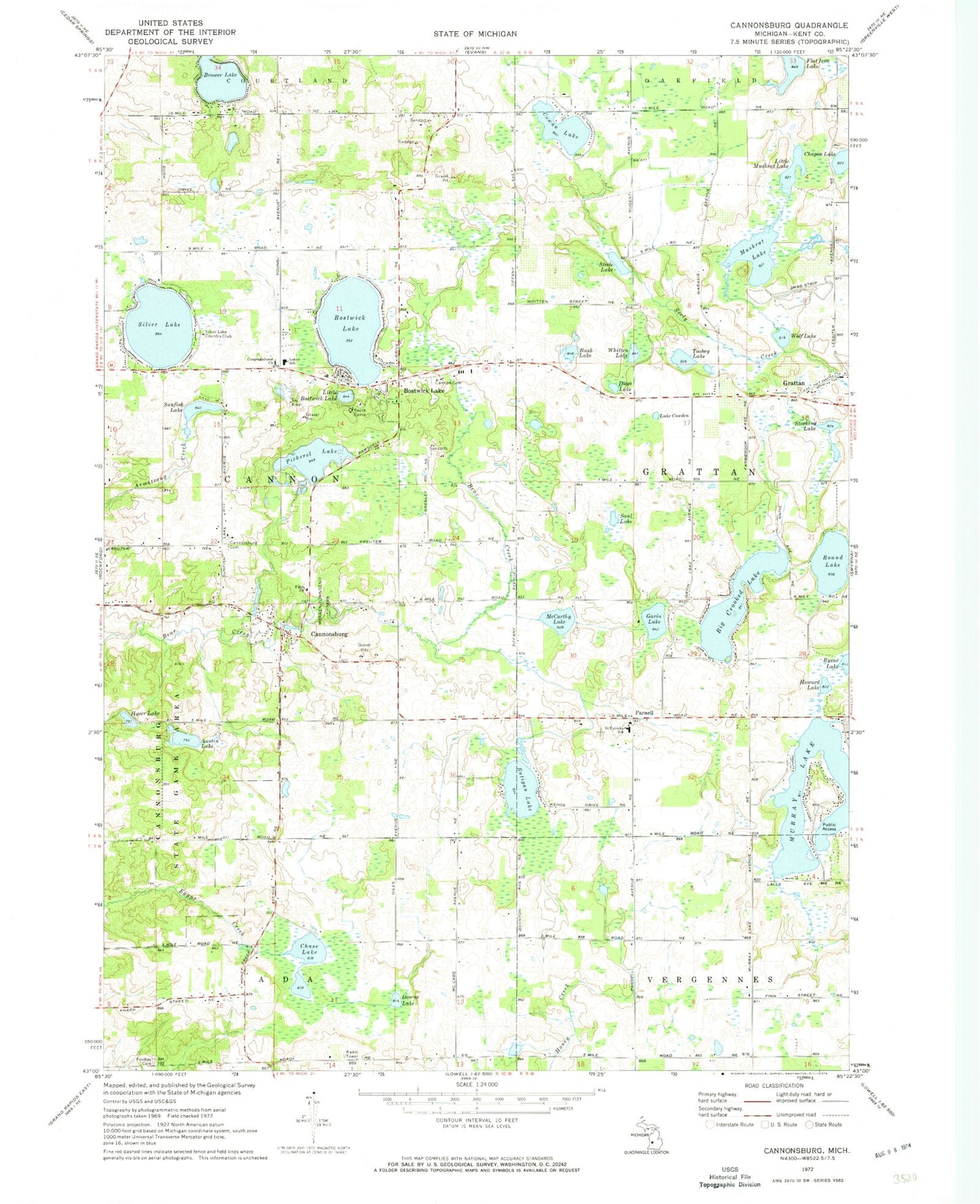
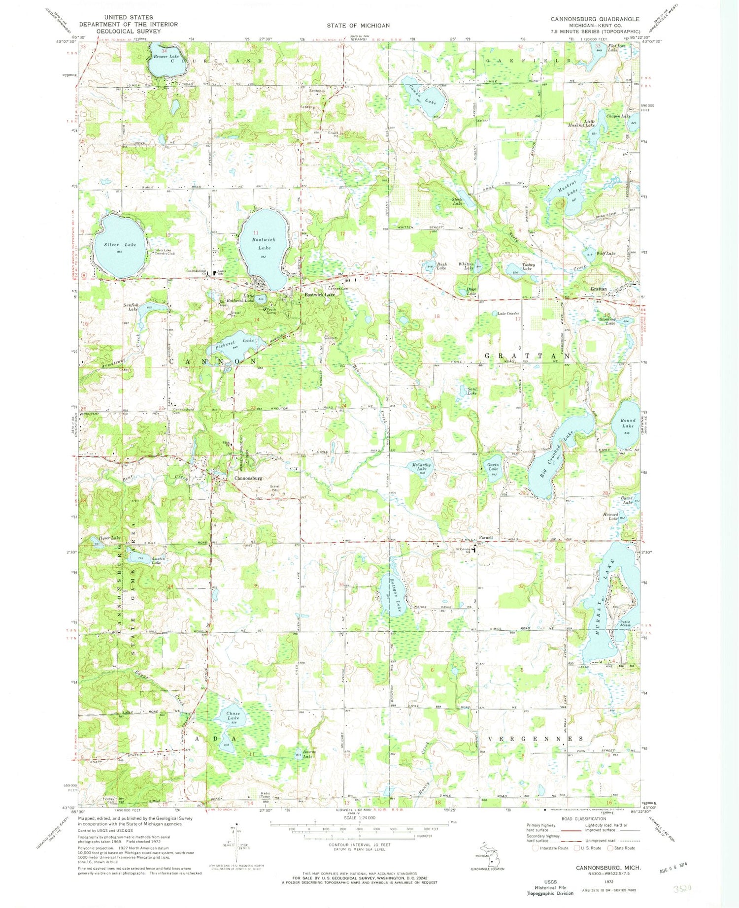
Classic USGS Cannonsburg Michigan 7.5'x7.5' Topo Map
Couldn't load pickup availability
Historical USGS topographic quad map of Cannonsburg in the state of Michigan. Map scale may vary for some years, but is generally around 1:24,000. Print size is approximately 24" x 27"
This quadrangle is in the following counties: Kent.
The map contains contour lines, roads, rivers, towns, and lakes. Printed on high-quality waterproof paper with UV fade-resistant inks, and shipped rolled.
Contains the following named places: Ada Township Fire Department Station 2, Austin Lake, Big Crooked Lake, Bostwick Lake, Bostwick Post Office, Bridgeway Community Church, Brower Lake, Bush Lake, Cannon Cemetery, Cannon Historical Marker, Cannon Township Fire Department Station 1, Cannon Township Fire Department Station 2, Cannon Township Hall Historical Marker, Cannonsburg, Cannonsburg Cemetery, Cannonsburg Census Designated Place, Cannonsburg Elementary School, Cannonsburg Post Office, Cannonsburg State Game Area, Carlton Lake, Chapin Lake, Chase Lake, Congregational Church, Cowan Lake, Cridler Airport, Downs Lake, Duga Lake, East Rockford Middle School, Faith Church, Findlay Cemetery, Flat Iron Lake, Gavin Lake, Goodwillie Environmental School, Grattan, Grattan Cemetery, Grattan Post Office, Grattan Raceway, Howard Lake, Hyser Lake, Lake Cowden, Lakes School, Little Bostwick Lake, Little Muskrat Lake, Marshall Cemetery, McCarthy Lake, Murray Lake, Muskrat Lake, Parnell, Parnell Post Office, Pickerel Lake, Ratigan Lake, Rockford Christian School, Round Lake, Saint Patrick Cemetery, Saint Patricks School, Saul Lake, Silver Lake, Silver Lake Country Club, Steele Lake, Stocking Lake, Sunfish Lake, Toohey Lake, Township of Cannon, Warren Townsend Park, Whitten Lake, Wolf Lake, ZIP Code: 49341


