MyTopo
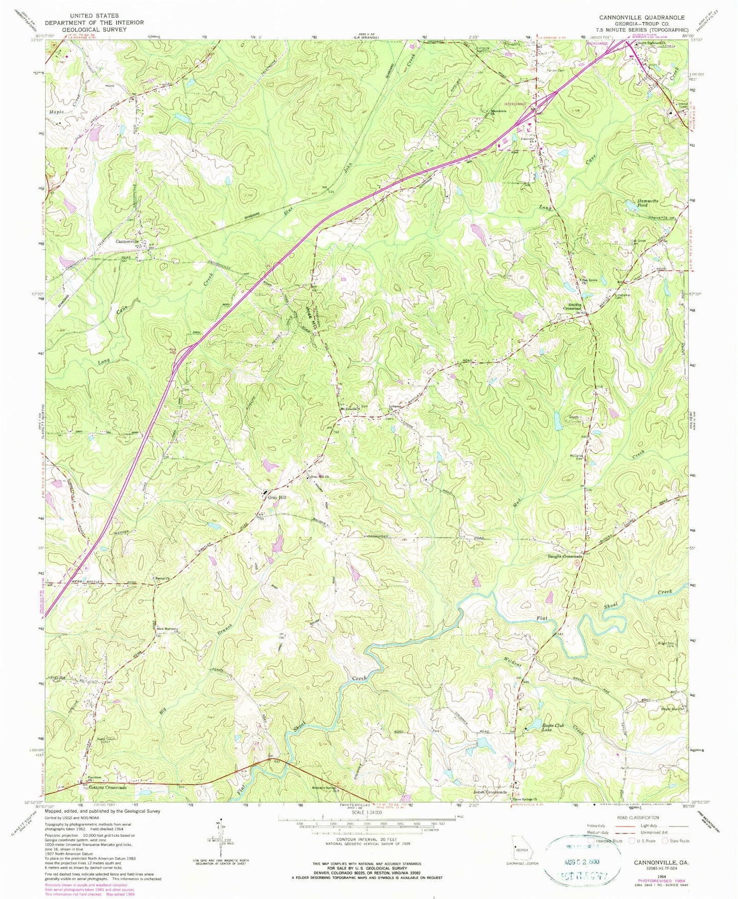
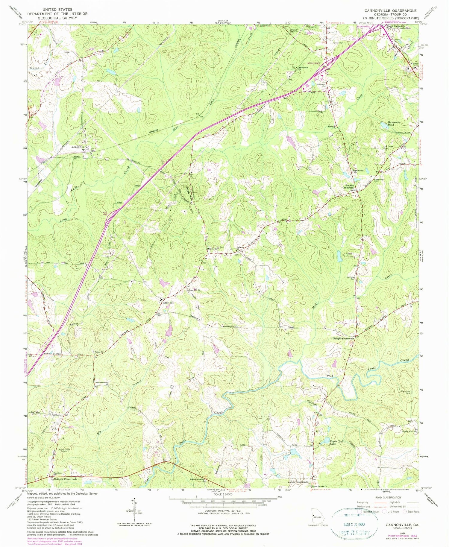
Classic USGS Cannonville Georgia 7.5'x7.5' Topo Map
Couldn't load pickup availability
Historical USGS topographic quad map of Cannonville in the state of Georgia. Map scale may vary for some years, but is generally around 1:24,000. Print size is approximately 24" x 27"
This quadrangle is in the following counties: Troup.
The map contains contour lines, roads, rivers, towns, and lakes. Printed on high-quality waterproof paper with UV fade-resistant inks, and shipped rolled.
Contains the following named places: Bartley Road Estates, Baughs Crossroads, Bethel Church, Bethel Church Cemetery, Blue John Creek, Bright Star Cemetery, Bright Star Church, Cannonville, Colonial Heights, Cottons Crossroads, Davidson Church, Dickerson Dam, Dickerson Lake, Eagle Club Dam, Eagle Club Lake, Fannin Cemetery, Federal Hills, Gray Hill, Gray Hill Church, Gray Hill Church Cemetery, Gray Hill School, Grayhill Airport, Hammetts Dam, Hammetts Pond, Handleys Store, Hogg Mountain, Hunts Store, Lebanon Church, Lebanon Progressive Baptist Church, Linebarker Cemetery, Macedonia Church, Maplecreek Hills, Mccalls Cemetery, Mount Zion Church, Mountain Spring Baptist Church Cemetery, Mountain Springs Church, Mud Creek, Murphy Lake, Murphy Lake Dam, New Harmony Church, New Harmony Church Cemetery, Oak Grove Cemetery, Oak Grove Church, Oak Grove School, Old Chimney, Panther Creek, Parkway Estates, Pine View School, Pineview Church, Pioneer Village, Plantation Manor, Raby Woods, Smiths Crossroad, Smoke Rise, South Highland Church, South Pine Ranchettes, State Bridge, Thankful Church, Troup County Fire Department Station 1 Headquarters, Troup County Fire Department Station 4, Troup County Fire Department Station 7, Troup County Jail, Troup County Sheriff's Office, Union Springs Church, Webb Dam, Webb Lake, West Point Division, West Wood, Wildcat Creek, Wood Valley, Zachery Dam, Zachery Lake, Zion Hill Church Cemetery


