MyTopo
Classic USGS Canon Agua Buena New Mexico 7.5'x7.5' Topo Map
Couldn't load pickup availability
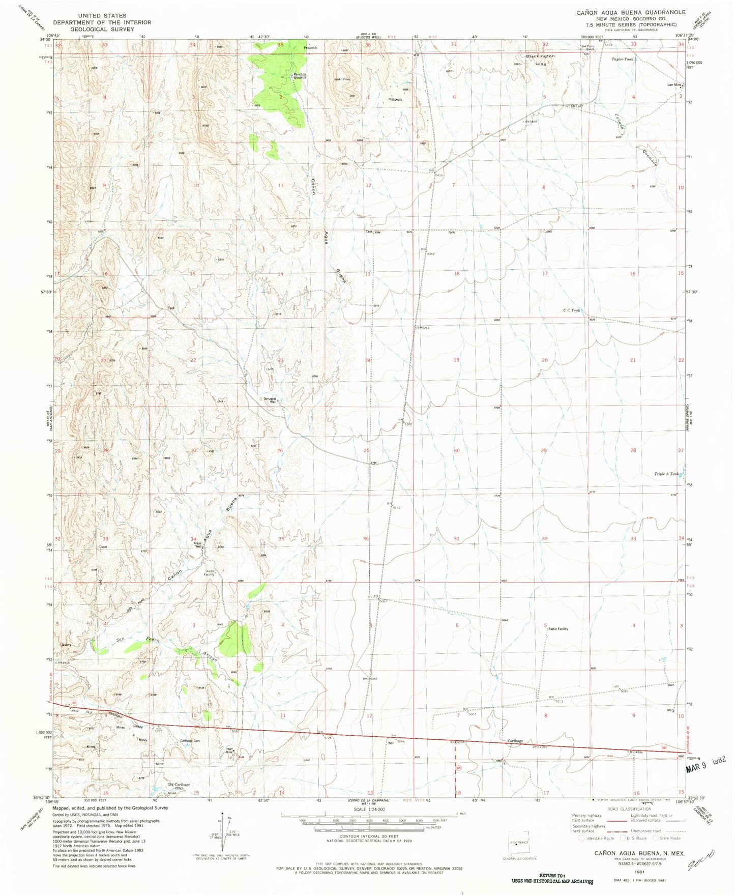
Historical USGS topographic quad map of Canon Agua Buena in the state of New Mexico. Map scale may vary for some years, but is generally around 1:24,000. Print size is approximately 24" x 27"
This quadrangle is in the following counties: Socorro.
The map contains contour lines, roads, rivers, towns, and lakes. Printed on high-quality waterproof paper with UV fade-resistant inks, and shipped rolled.
Contains the following named places: Araya Well, Blackington Hills, Canon Agua Buena, Carthage, Carthage Cemetery, Carthage Post Office, CC Tank, Cerro del Viboro, Del Curto Ranch, Fernandez Ranch, Gonzales Well, Hart Coal Mine, Hart Mine, Law Mine, Muncy Ranch, Old Carthage, Padilla Ranch, Ranchito Windmill, Taylor Tank, Triple A Tank