MyTopo
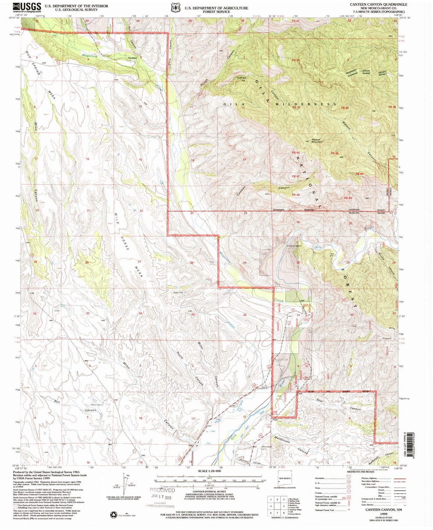
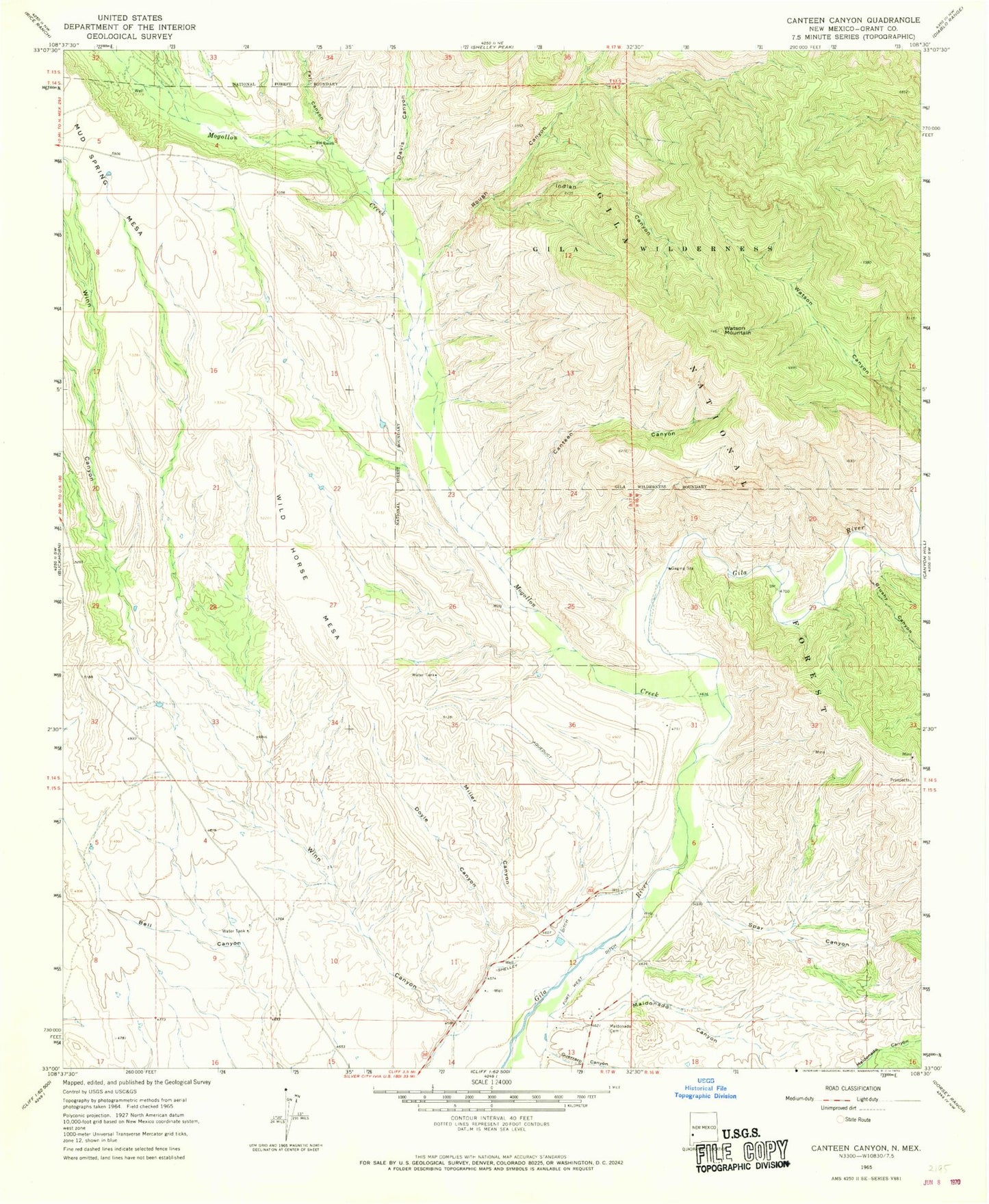
Classic USGS Canteen Canyon New Mexico 7.5'x7.5' Topo Map
Couldn't load pickup availability
Historical USGS topographic quad map of Canteen Canyon in the state of New Mexico. Map scale may vary for some years, but is generally around 1:24,000. Print size is approximately 24" x 27"
This quadrangle is in the following counties: Grant.
The map contains contour lines, roads, rivers, towns, and lakes. Printed on high-quality waterproof paper with UV fade-resistant inks, and shipped rolled.
Contains the following named places: Brushy Canyon, Canteen Canyon, Cedar Hill Prospect, Cherry Spring, Clark Canyon Dam, Davis Canyon, Doyle Canyon, Fall Canyon, Guerrero Canyon, Indian Canyon, Juniper Spring, Maldonado Canyon, Maldonado Cemetery, Miller Canyon, Mogollon Creek, Nine Hundred Sixteen Ranch, Rough Canyon, Spar Canyon, Upper Gila Site Number 10 Dam, Upper Gila Site Number 11 Dam, Upper Gila Site Number Eight Dam, Upper Gila Site Number Nine Dam, Upper Gila Site Number Seven Dam, Upper Gila Site Number Six Dam, Victoria Mine, Watson Mountain, Wild Horse Mesa


