MyTopo
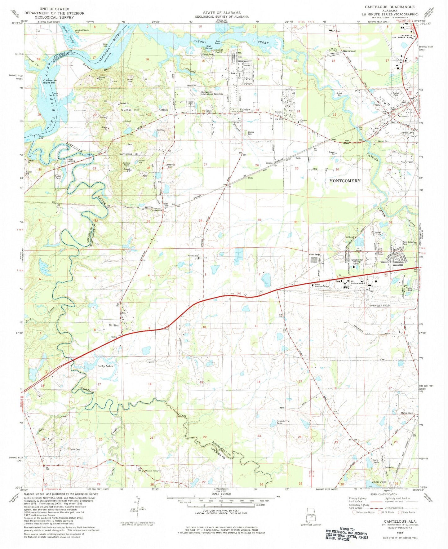
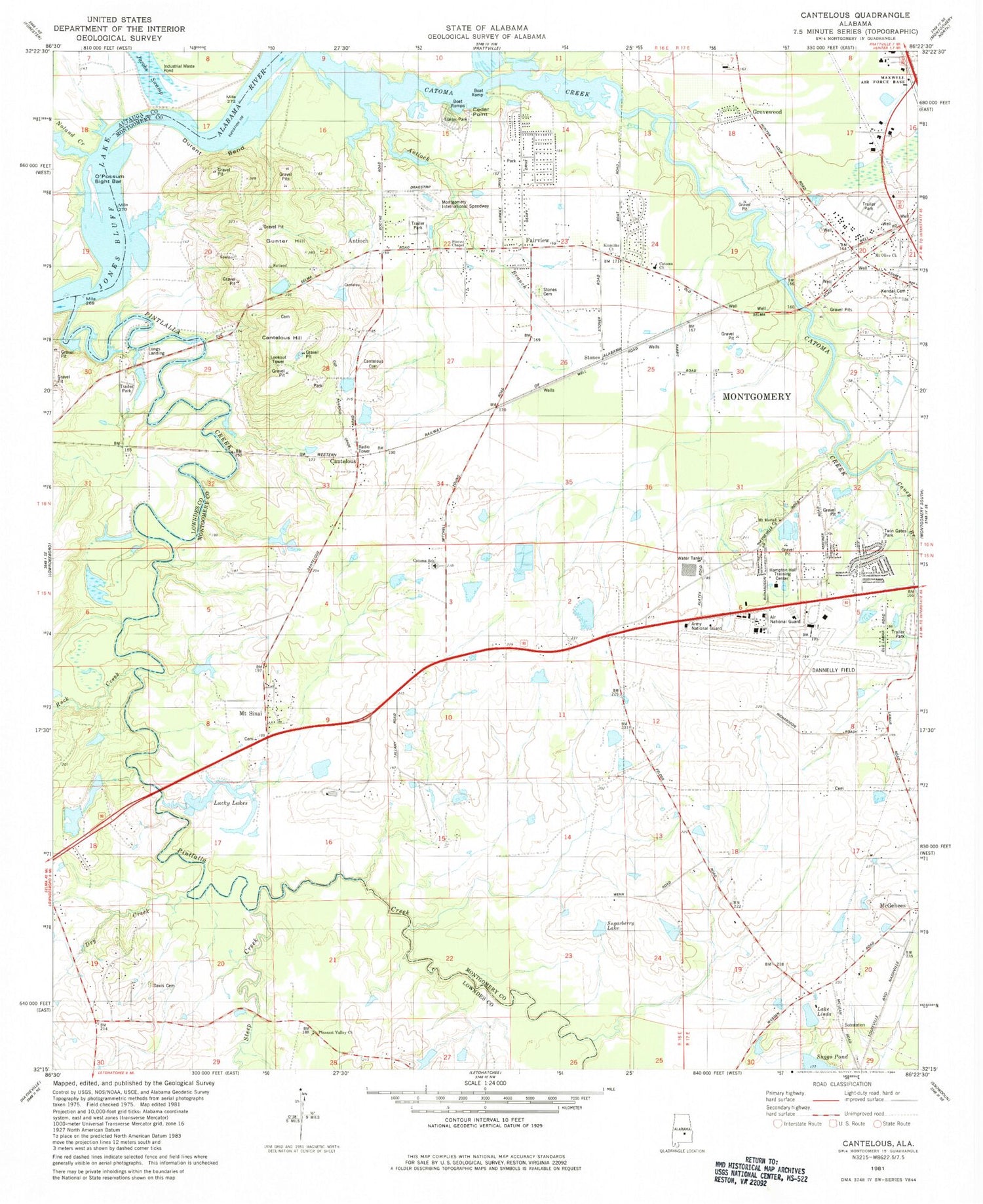
Classic USGS Cantelous Alabama 7.5'x7.5' Topo Map
Couldn't load pickup availability
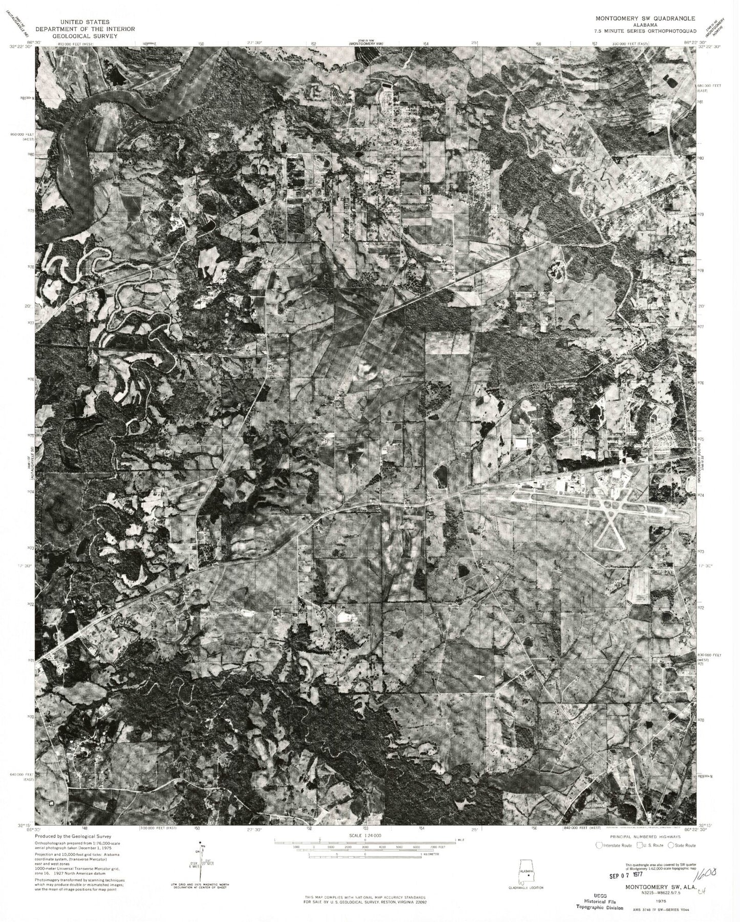
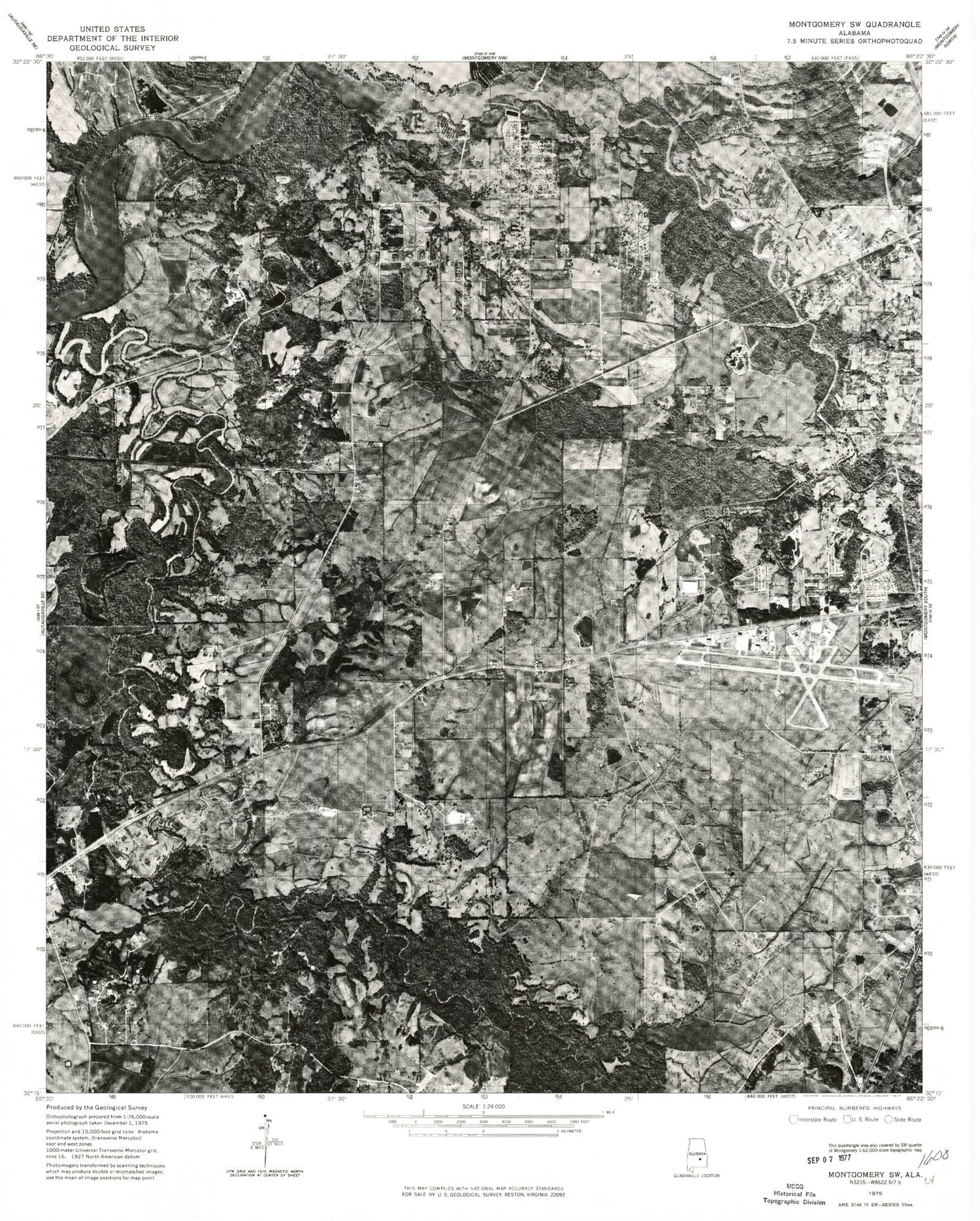
Historical USGS topographic quad map of Cantelous in the state of Alabama. Map scale may vary for some years, but is generally around 1:24,000. Print size is approximately 24" x 27"
This quadrangle is in the following counties: Autauga, Lowndes, Montgomery.
The map contains contour lines, roads, rivers, towns, and lakes. Printed on high-quality waterproof paper with UV fade-resistant inks, and shipped rolled.
Contains the following named places: Antioch, Antioch Branch, Antioch Church, Baggett Dam, Baggett Lake, Bowling Dam, Brewer Estates, Burkville Volunteer Fire Department, C D Long Lake, C D Long Lake Dam, C H Warner Dam, Caney Branch, Cantelous, Cantelous Cemetery, Cantelous Hill, Cantelous Lookout Tower, Catoma, Catoma Baptist Church, Catoma Creek, Catoma Elementary School, Cedar Point, Country Estates, D W Rutland Dam, Dannley Pines, Davis Cemetery, Dry Creek, Dungee School, Durant Bend, Elgin Dam, Elgin Lake, Fairview, Fairview Church, Fairview United Methodist Church, Flowers Dam, Flowers Lake, Graves Bar, Grovewood, Gunter Hill, Hampton Hall Training Center, Hope Hull Recreation Center, Kindle Baptist Church Memorial Cemetery, Klondike Baptist Church, Lake Bowling, Lake Linda, Lee Farms, Longs Landing, Lower Catoma Bar, Lucky Lakes, Manack Bar, Manacks Island, Montgomery International Speedway, Montgomery Regional Airport (Dannelly Field), Mount Moriah Church, Mount Olive Baptist Church, Mount Sinai, Noland Creek, O'Possum Bight Bar, Pintlala Creek, Pleasant Valley Church, Rock Creek, Rutland Lake, Saint Matts Church, Selbrook, Selbrook Park, Sinai Church, Steep Creek, Stones, Stones Cemetery, Stones Chapel, Sugarberry Lake, Twin Gates Estates, Twin Gates Park, Warner Lake, West Side Assembly of God Church, ZIP Code: 36108


