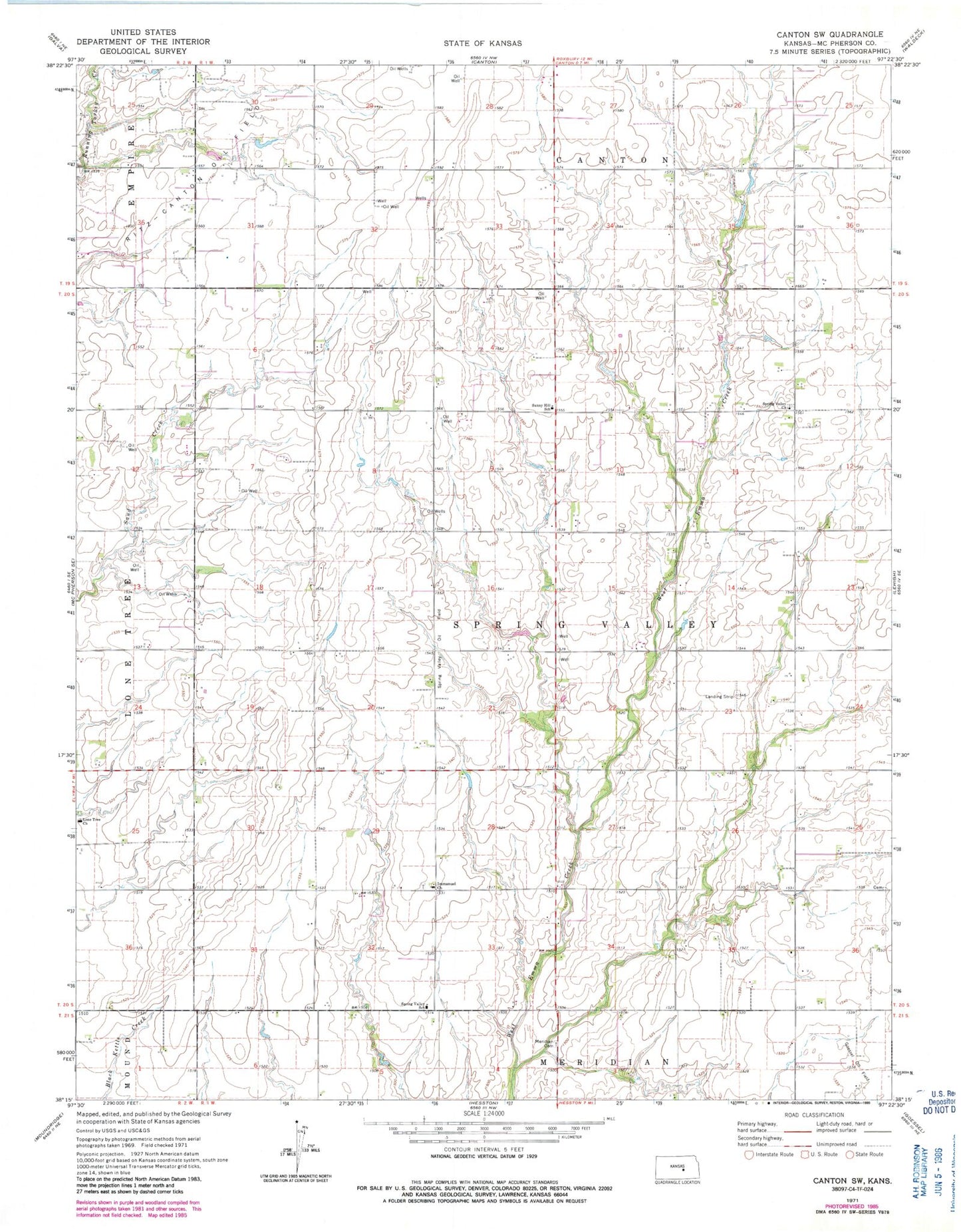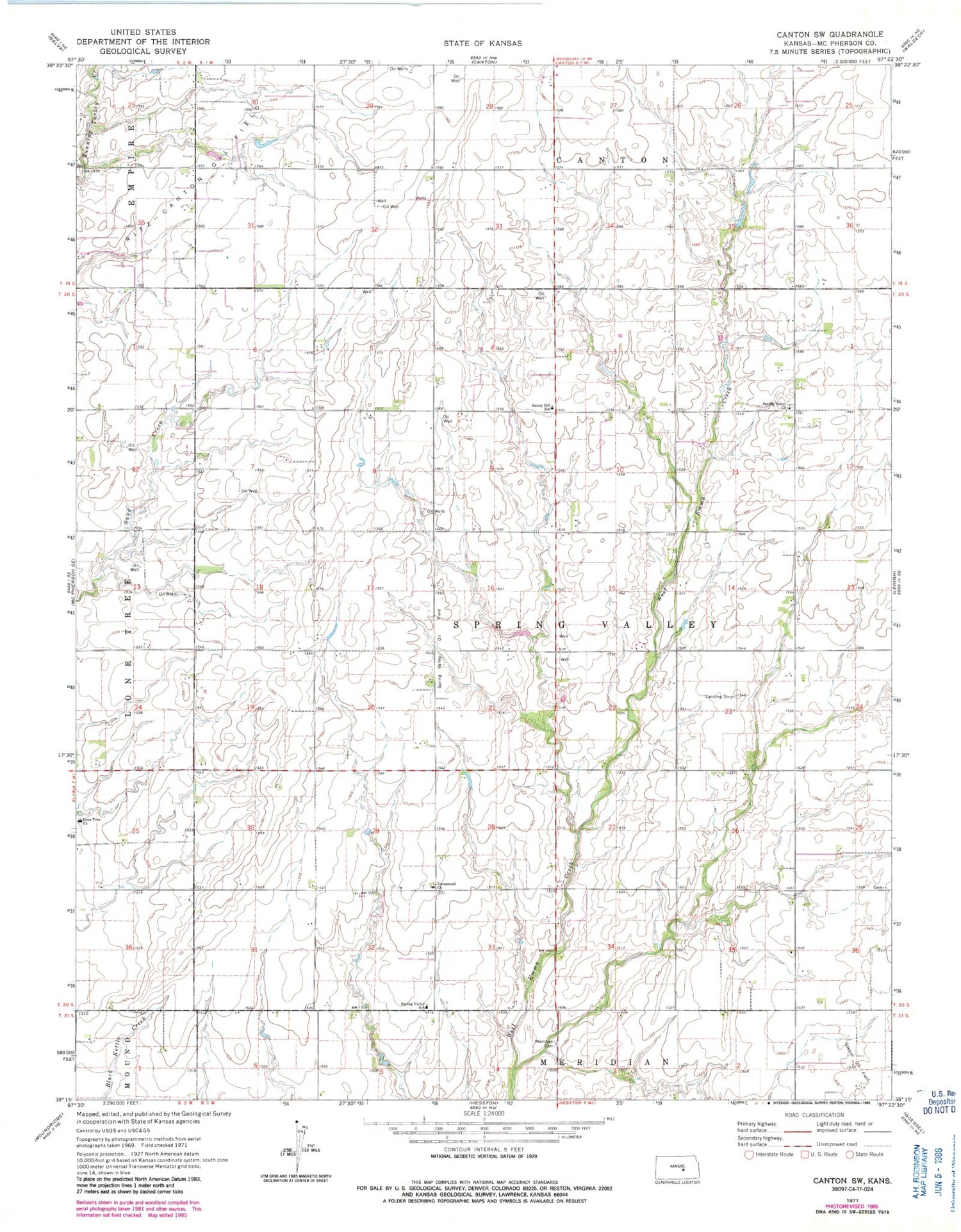
MyTopo
Classic USGS Canton SW Kansas 7.5'x7.5' Topo Map
Couldn't load pickup availability
Historical USGS topographic quad map of Canton SW in the state of Kansas. Map scale may vary for some years, but is generally around 1:24,000. Print size is approximately 24" x 27"
This quadrangle is in the following counties: McPherson.
The map contains contour lines, roads, rivers, towns, and lakes. Printed on high-quality waterproof paper with UV fade-resistant inks, and shipped rolled.
Contains the following named places: German Evangelical Lutheran Cemetery, Immanuel Lutheran Church, Lone Tree Cemetery, Lone Tree Church, McPherson County Rural Fire District 1 Station 3, Spring Valley, Spring Valley Mennonite Church, Spring Valley Oil Field, Spring Valley School, Sunny Hill School, Township of Spring Valley, ZIP Code: 67428