MyTopo
Classic USGS Canton Kentucky 7.5'x7.5' Topo Map
Couldn't load pickup availability
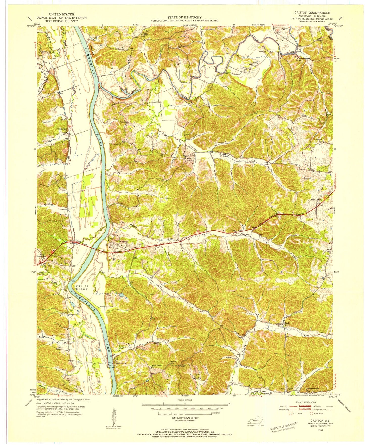
Historical USGS topographic quad map of Canton in the state of Kentucky. Typical map scale is 1:24,000, but may vary for certain years, if available. Print size: 24" x 27"
This quadrangle is in the following counties: Trigg.
The map contains contour lines, roads, rivers, towns, and lakes. Printed on high-quality waterproof paper with UV fade-resistant inks, and shipped rolled.
Contains the following named places: Bacon Creek, Lake Barkley, Beechy Fork, Blue Spring, Blue Spring Creek, Bridges Cemetery, Carr Cemetery, Devils Elbow, Dixon Cemetery, Donaldson Creek Church, Dyers Chapel, Dyers Creek, Elbow Bay, Goose Creek, Hillman Bluff, Hopson Creek, Malone Cemetery, Kelly Branch, Lake Barkley State Park, Lawrence Memorial Bridge, Lester Spring, Liberty Point Cemetery, Lick Creek, Little River, Long Creek Cemetery, McIntosh Cemetery, Mineral Hill, Mount Pleasant Baptist Church, Peals Chapel, Pete Light Spring, Pond Bay, Pond Creek, Pryor Hollow, Shanklin Creek, Shaw Bay, South Union Church, Terrapin Branch, Barkley Shores, Blue Spring, Blue Spring Estates, Canton, Cedar Point, Cumberland Shores, Donaldson, Maple Grove, Shawnee Hills, Lake Barkley State Park Airport, Canton Division, Barkley Shores Census Designated Place, Canton Census Designated Place, East Golden Pond Fire Department, Forrest vs Gunboat Conestoga Fight Historical Marker


