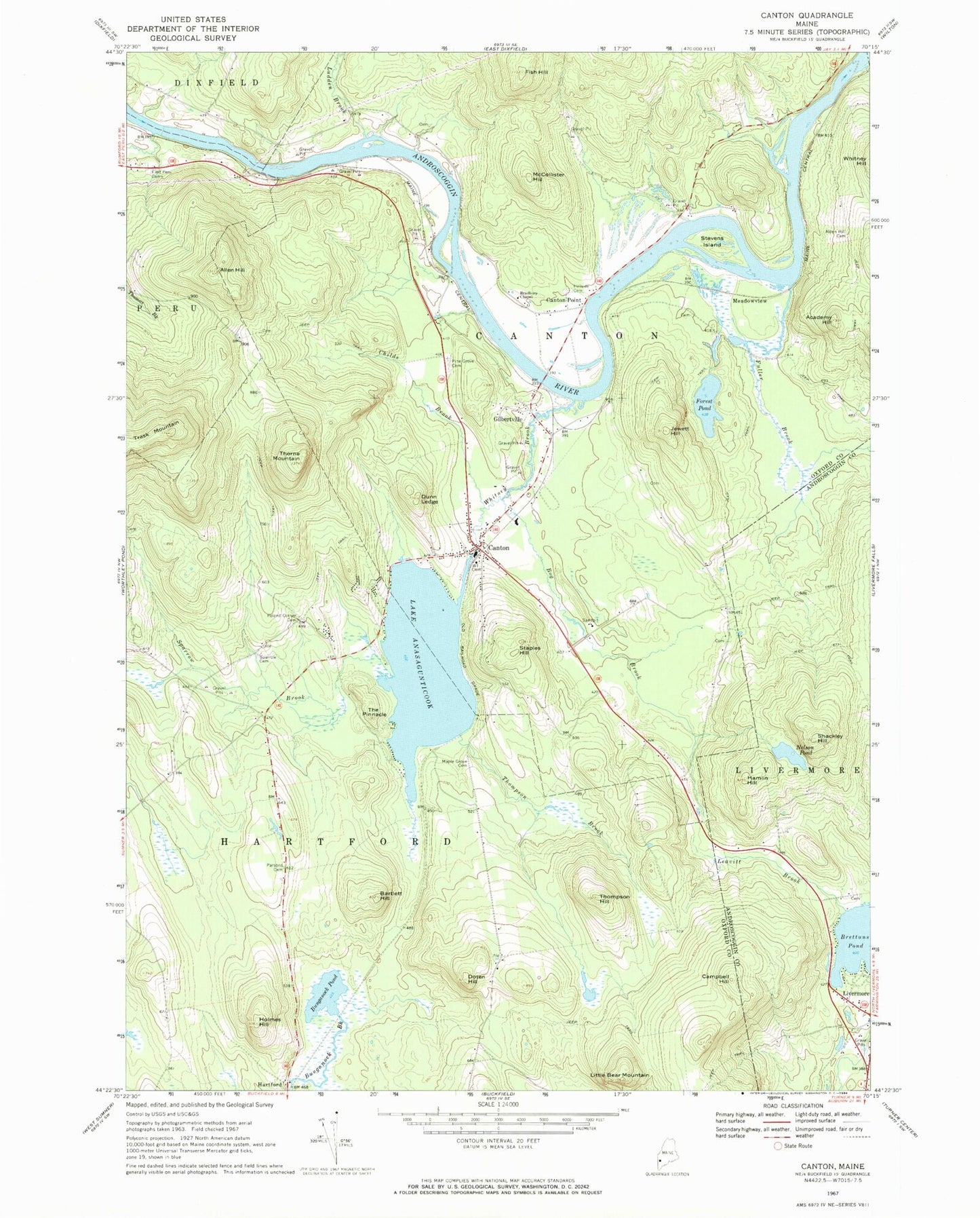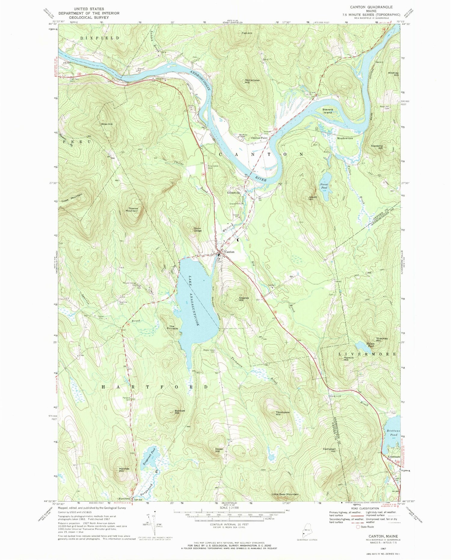
MyTopo
Classic USGS Canton Maine 7.5'x7.5' Topo Map
Couldn't load pickup availability
Historical USGS topographic quad map of Canton in the state of Maine. Typical map scale is 1:24,000, but may vary for certain years, if available. Print size: 24" x 27"
This quadrangle is in the following counties: Androscoggin, Oxford.
The map contains contour lines, roads, rivers, towns, and lakes. Printed on high-quality waterproof paper with UV fade-resistant inks, and shipped rolled.
Contains the following named places: Academy Hill, Alden Hill Cemetery, Allen Hill, Bartlett Hill, Bog Brook, Bradbury Chapel, Bunganock Pond, Campbell Hill, Canton, Childs Brook, Doten Hill, Dunn Ledge, East Peru Cemetery, Fish Hill, Forest Pond, Fuller Brook, Gilbertville, Hamlin Hill, Hillside Cemetery, Holmes Hill, Jewett Hill, Leavitt Brook, Little Bear Mountain, Ludden Brook, Maple Grove Cemetery, McCollister Hill, Nelson Pond, Parsons Cemetery, Pine Grove Cemetery, Poland Corner Cemetery, Shackley Hill, Sparrow Brook, Sparrow Cemetery, Staples Hill, Stevens Island, The Pinnacle, Thompson Brook, Thompson Hill, Thorne Mountain, Trask Mountain, Whitney Brook, Worthley Brook, Canton Point, Meadowview, Brettuns Pond Seaplane Base, Town of Canton, Town of Hartford, Lake Anasagunticook Dam, Lake Anasagunticook, Canton Cemetery, Canton Elementary School, Canton Post Office, Canton United Baptist Church, Hartford Community Church, Elementary Learning Center, Canton Volunteer Fire Department, Deshon Cemetery, Meadowview Road Cemetery, Leavitt Cemetery, Ludden Cemetery, Livermore Public Library