MyTopo
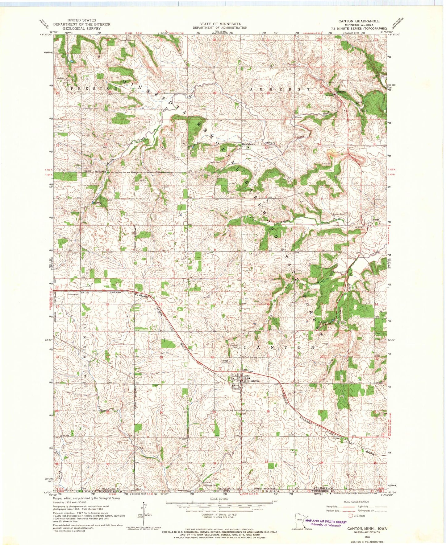
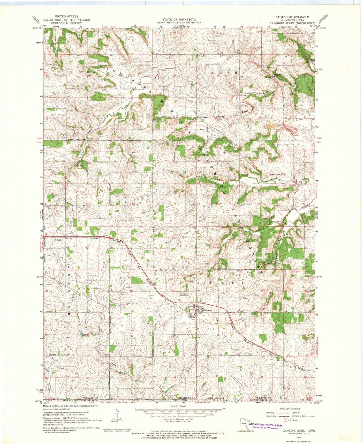
Classic USGS Canton Minnesota 7.5'x7.5' Topo Map
Couldn't load pickup availability
Historical USGS topographic quad map of Canton in the state of Minnesota. Map scale may vary for some years, but is generally around 1:24,000. Print size is approximately 24" x 27"
This quadrangle is in the following counties: Fillmore, Winneshiek.
The map contains contour lines, roads, rivers, towns, and lakes. Printed on high-quality waterproof paper with UV fade-resistant inks, and shipped rolled.
Contains the following named places: Amherst, Amherst Post Office, Amish Cemetery, Assumption Catholic Church, Calvary Cemetery, Canton, Canton Fire Department, Canton Plaza School, Canton Post Office, Canton Scotland Church, City of Canton, Elliota Cemetery, Frego Creek, Henry Cemetery, Henrytown, Henrytown Lutheran Cemetery, Henrytown Lutheran Church, Henrytown Post Office, Lenora, Lenora Cemetery, Lenora Post Office, Scotland Church, Township of Canton, ZIP Code: 55922