MyTopo
Classic USGS Canyon Creek Mountains New Mexico 7.5'x7.5' Topo Map
Couldn't load pickup availability
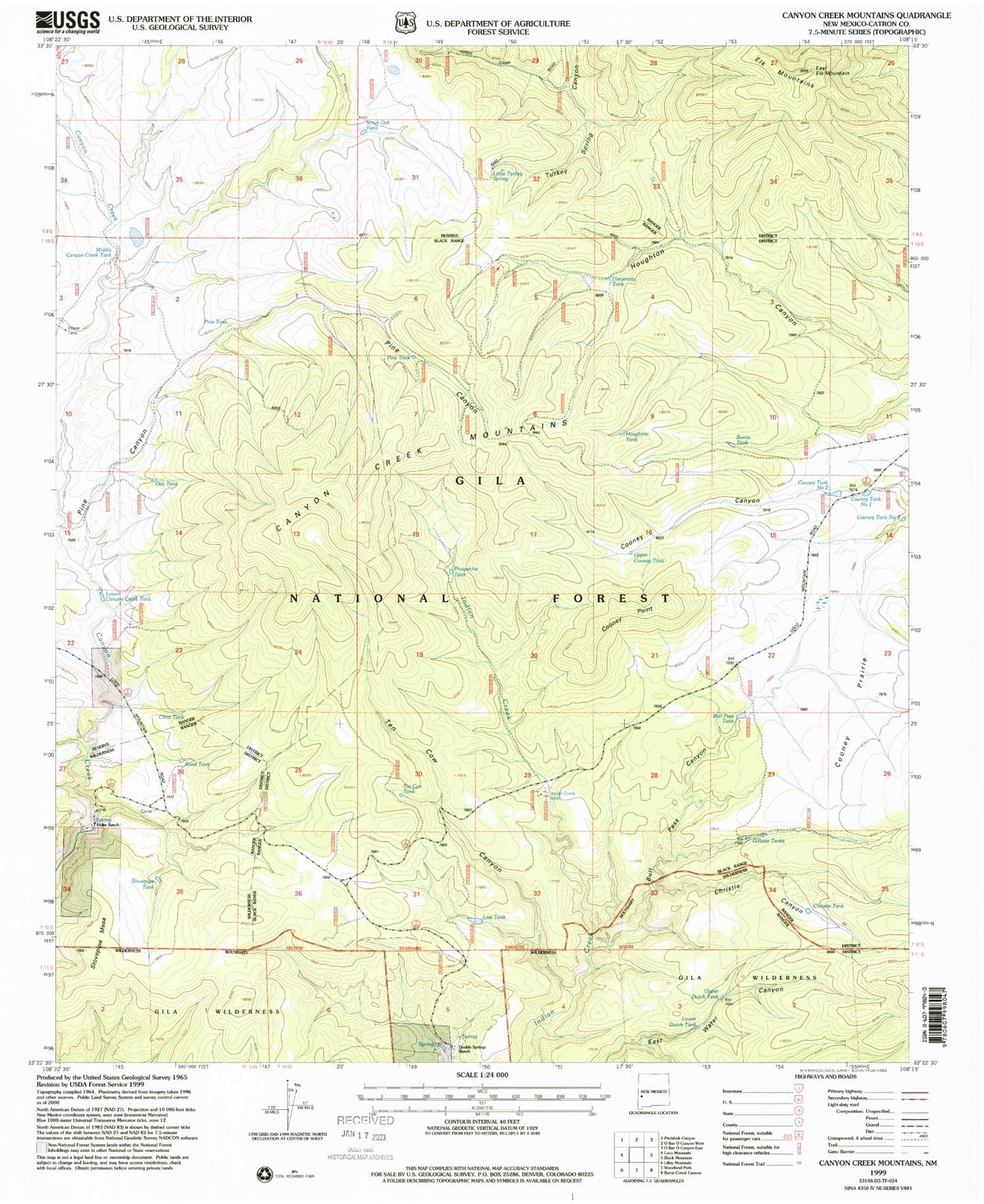
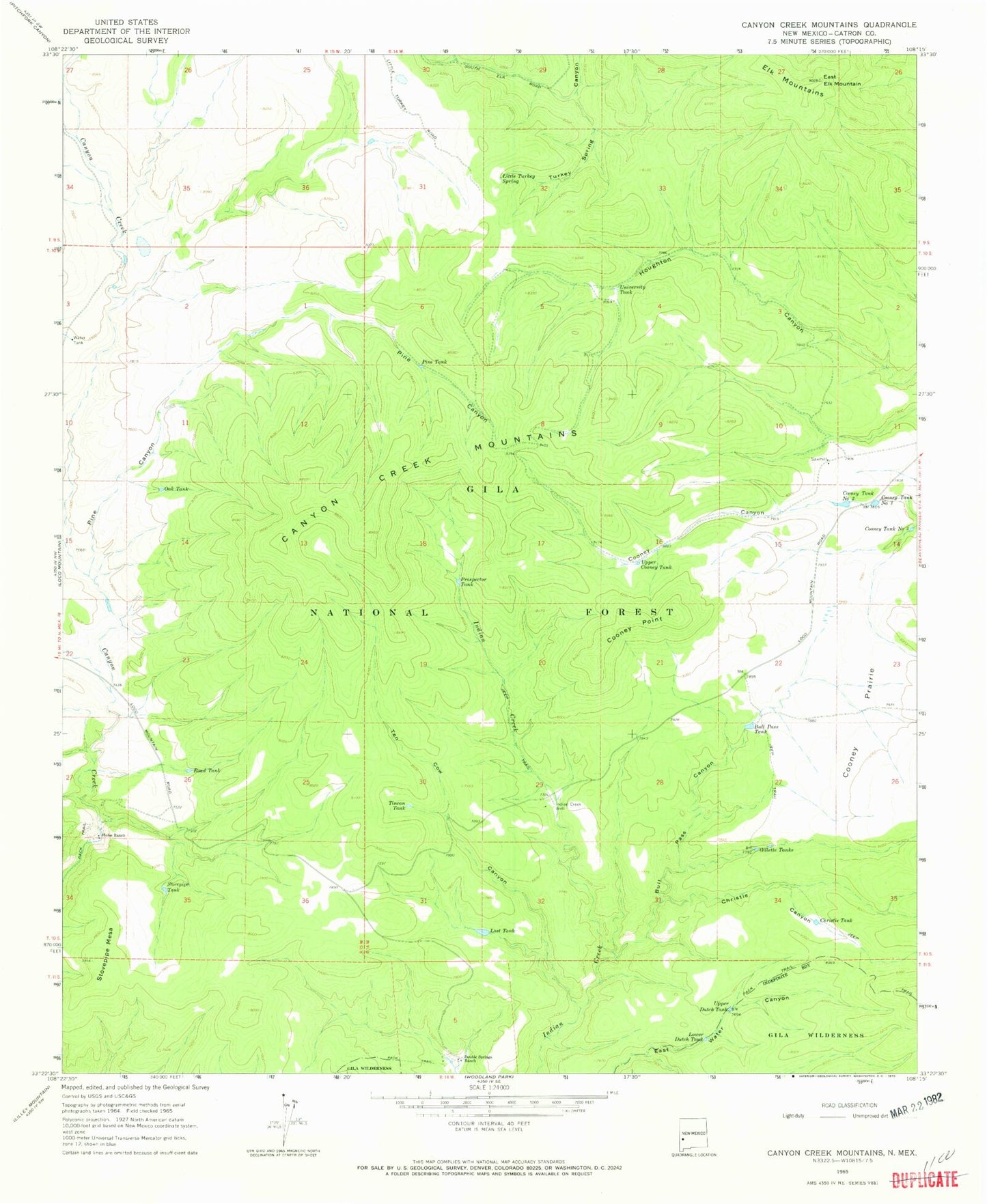
Historical USGS topographic quad map of Canyon Creek Mountains in the state of New Mexico. Typical map scale is 1:24,000, but may vary for certain years, if available. Print size: 24" x 27"
This quadrangle is in the following counties: Catron.
The map contains contour lines, roads, rivers, towns, and lakes. Printed on high-quality waterproof paper with UV fade-resistant inks, and shipped rolled.
Contains the following named places: Bull Pass Canyon, Bull Pass Tank, Canyon Creek Mountains, Christie Canyon, Christie Tank, Cooney Point, Cooney Prairie, Cooney Tank Number 1, Cooney Tank Number 2, Cooney Tank Number 3, Double Springs Ranch, East Elk Mountain, Gillette Tanks, Hulse Ranch, Indian Creek Well, Little Turkey Spring, Lost Tank, Lower Dutch Tank, Oak Tank, Pine Canyon, Pine Tank, Prospector Tank, Road Tank, Stovepipe Mesa, Stovepipe Tank, Ten Cow Canyon, Tincan Tank, Upper Cooney Tank, Upper Dutch Tank, Pine Tank, Middle Canyon Creek Tank, Houghton Tank, Bonus Tank, Scrub Oak Tank, Chris Tank, Lower Canyon Creek Tank, East Elk Tank, Indian Creek Water Well, Elk Mountains, Turkey Spring Canyon, University Tank