MyTopo
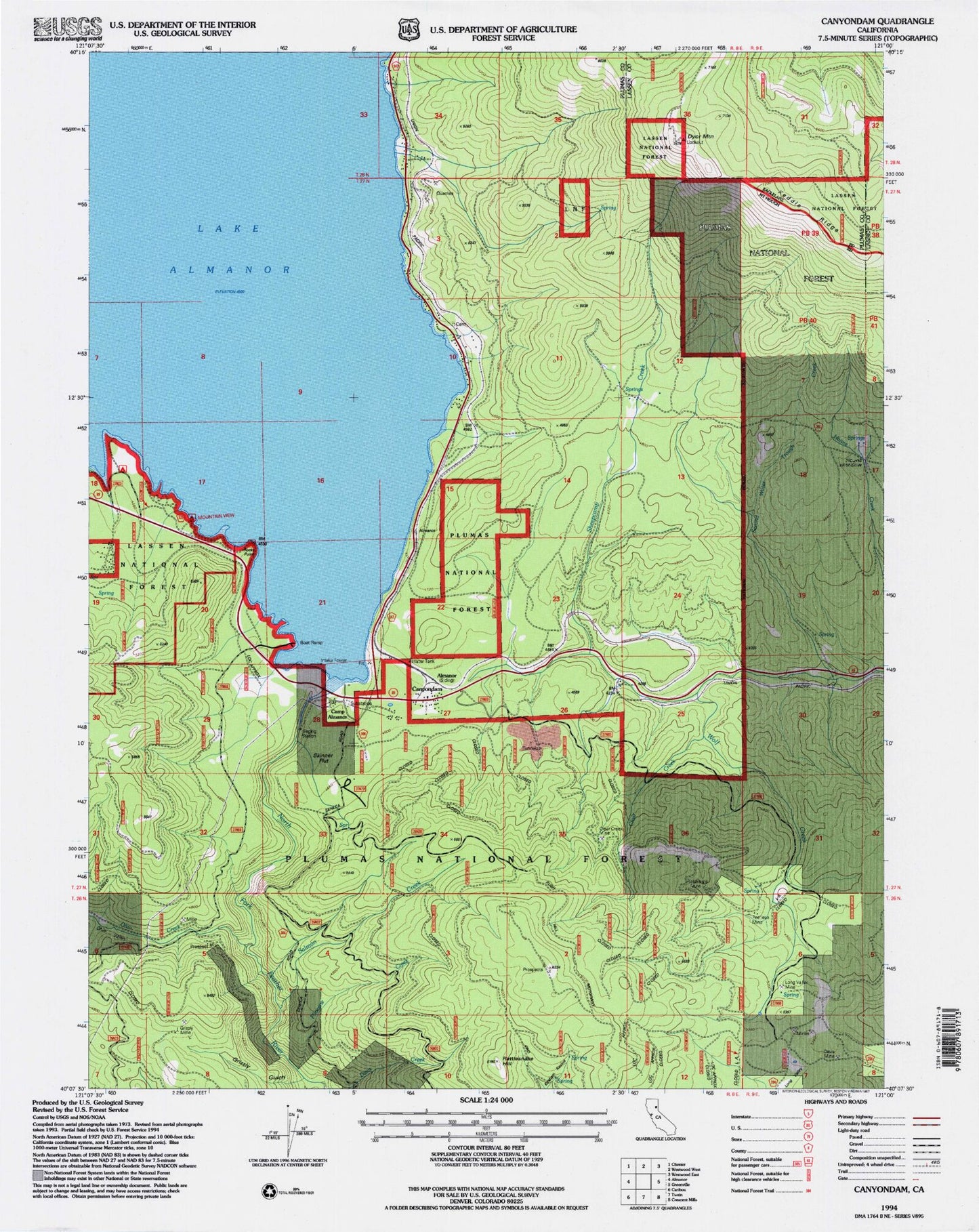
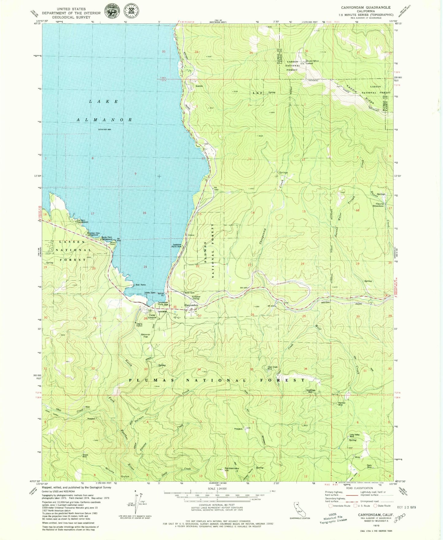
Classic USGS Canyondam California 7.5'x7.5' Topo Map
Couldn't load pickup availability
Historical USGS topographic quad map of Canyondam in the state of California. Map scale may vary for some years, but is generally around 1:24,000. Print size is approximately 24" x 27"
This quadrangle is in the following counties: Lassen, Plumas.
The map contains contour lines, roads, rivers, towns, and lakes. Printed on high-quality waterproof paper with UV fade-resistant inks, and shipped rolled.
Contains the following named places: Almanor, Camp Almanor, Canyon Dam Post Office, Canyondam, Canyondam Census Designated Place, Canyondam Picnic Area, Canyondam Work Center, Clear Creek, Clear Creek Mine, Davis Mine, Dyer Mountain, East Shore, East Shore Census Designated Place, Eastshore Picnic Area, Fox Farm Campground, Goldstripe Mine, Grizzly Gulch, Grizzly Mine, Hauns Meadow, KCMT-FM (Chester), KRKQ-FM (Chester), Lake Almanor, Lake Almanor 93-003 Dam, Long Valley Mine, Mountain View Campground, Ohio Creek, Ohio Valley, Peerless Mine, Pliocene Creek, Rattlesnake Hill, Rocky Point, Rocky Point Campground, Salmon Creek, Second Water Trough Creek, Sheepcamp Creek, Skinner Flat, ZIP Code: 95923


