MyTopo
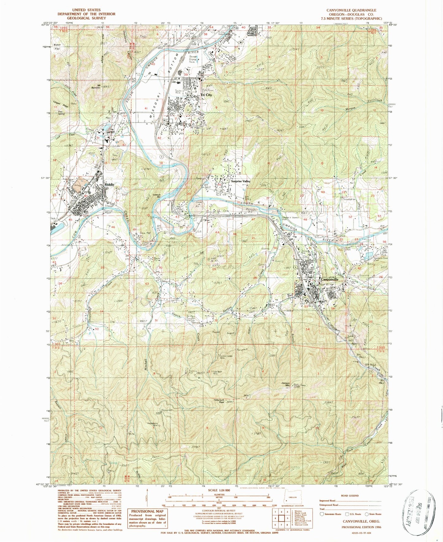
Classic USGS Canyonville Oregon 7.5'x7.5' Topo Map
Couldn't load pickup availability
Historical USGS topographic quad map of Canyonville in the state of Oregon. Map scale may vary for some years, but is generally around 1:24,000. Print size is approximately 24" x 27"
This quadrangle is in the following counties: Douglas.
The map contains contour lines, roads, rivers, towns, and lakes. Printed on high-quality waterproof paper with UV fade-resistant inks, and shipped rolled.
Contains the following named places: Alder Creek, Baker Flat, Canyon Creek, Canyon Mountain, Canyonville, Canyonville - South Umpqua Fire Department, Canyonville Branch Library, Canyonville Cemetery, Canyonville Christian Academy, Canyonville City Hall, Canyonville County Park, Canyonville County Park Boat Ramp, Canyonville Justice Court, Canyonville Municipal Court, Canyonville Post Office, Canyonville Public Works, Canyonville School, Canyonville Wastewater Treatment Plant, Canyonville Water Treatment Plant, Chadwick Canyon, Charles V Stanton Park, City of Canyonville, City of Riddle, Comer Brook, Copper Creek, Corder Log Pond, Corder Log Pond Dike, Cow Creek, Cow Creek Gaming Center Wastewater Treatment Plant, Department of Motor Vehicles Canyonville, Douglas County Sheriff's Office Riddle Substation, Douglas Forest Protective Association South Unit, Fords Bridge, Gold Bluff Mine, Herbert Log Pond, Herberts Pond Park, Hillman Reservoir, Hilp Creek, Huckleberry Mine, Johnson DR Lumber Cogen Natural Gas, Jordan Creek, Judd Creek, Keystone Log Pond, Lane Creek, Lawson Bar, Levens Ledge Mine, Missouri Bottom, Mitchell Creek, Mount Rambler, Myrtle Creek Municipal Airport, Open Bible Christian Center, O'Shea Creek, Pearson Log Pond, Pine Spring, Pioneer Cemetery, Red Ridge, Riddle, Riddle Branch Library, Riddle City Hall, Riddle Elementary School, Riddle First Church of God, Riddle High School, Riddle Post Office, Riddle Public Works, Riddle Volunteer Fire Department, Riddle Wastewater Treatment Plant, Rock Canyon Creek, Scott Pond, Seventh Day Adventist Church, Shoestring Creek, Small Creek, South Umpqua High School, South Umpqua Historical Society Pioneer - Indian Museum, Surprise Valley, Sweetbriar Mine, Tellurium Peak, Tri - City Rural Fire Department, Tri City, Tri City Elementary School, Tri-City, Tri-City Census Designated Place, Veatch Creek, West Fork Canyon Creek, William D Bradley Cemetery, Yokum Bridge


