MyTopo
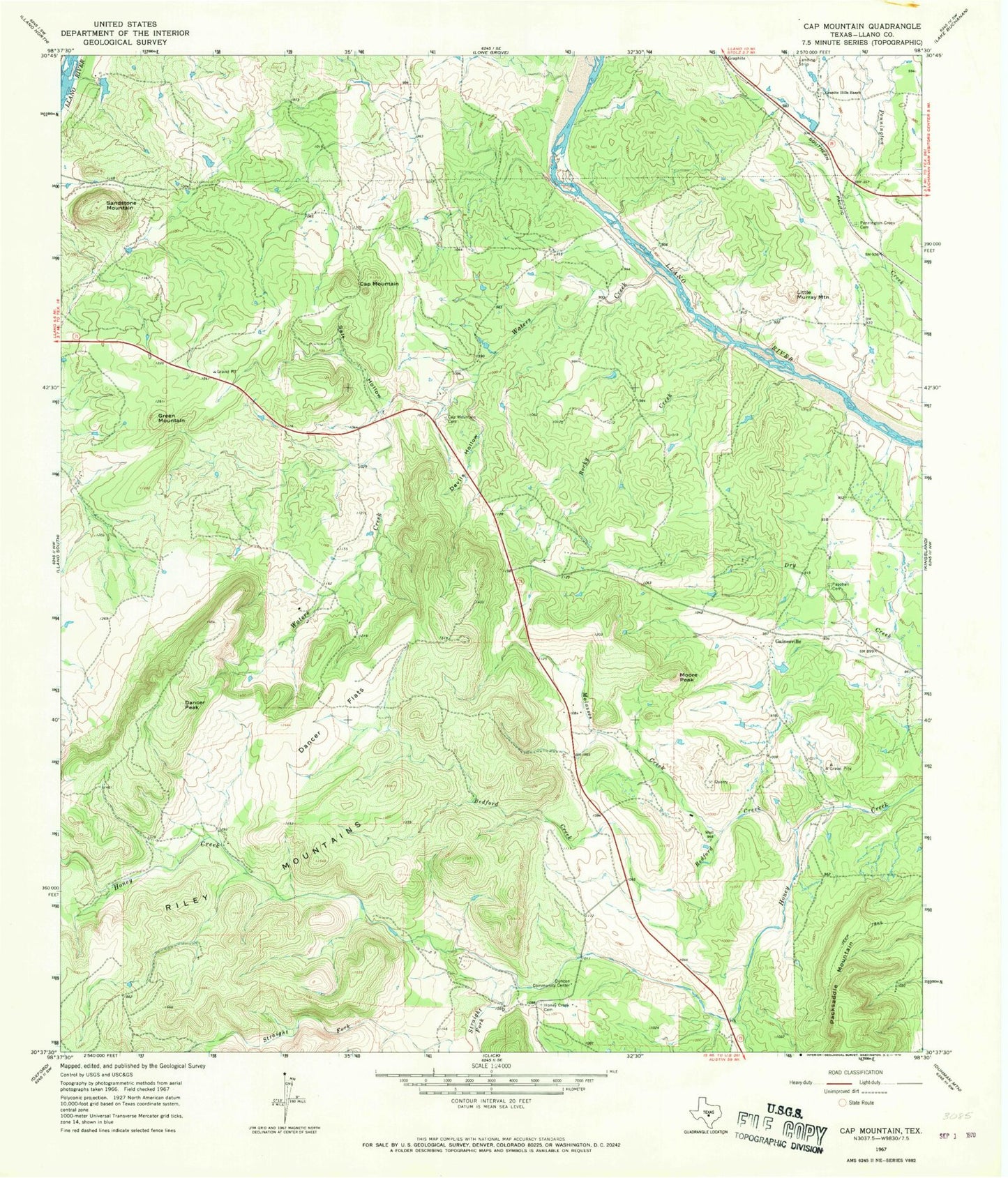
Classic USGS Cap Mountain Texas 7.5'x7.5' Topo Map
Couldn't load pickup availability
Historical USGS topographic quad map of Cap Mountain in the state of Texas. Map scale may vary for some years, but is generally around 1:24,000. Print size is approximately 24" x 27"
This quadrangle is in the following counties: Llano.
The map contains contour lines, roads, rivers, towns, and lakes. Printed on high-quality waterproof paper with UV fade-resistant inks, and shipped rolled.
Contains the following named places: Bedford Creek, Cap Mountain, Cap Mountain Cemetery, Dancer Flats, Dancer Peak, Devils Hollow, Duncan Community Center, Flying H Ranch Airport, Gainesville, Granite Hills Ranch, Green Mountain, Honey Creek Cemetery, KLKM-FM (Llano), KLNO-TV (Llano), Little Murray Mountain, Molasses Creek, Moore Peak, Paschall Cemetery, Pennington Creek Cemetery, Rocky Creek, Salt Hollow, Sandstone Mountain, Straight Fork, Waters Creek