MyTopo
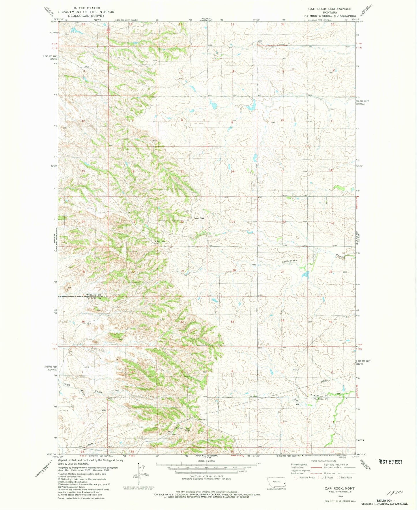
Classic USGS Cap Rock Montana 7.5'x7.5' Topo Map
Regular price
$16.95
Regular price
Sale price
$16.95
Unit price
per
Couldn't load pickup availability
Historical USGS topographic quad map of Cap Rock in the state of Montana. Map scale may vary for some years, but is generally around 1:24,000. Print size is approximately 24" x 27"
This quadrangle is in the following counties: Fallon, Wibaux.
The map contains contour lines, roads, rivers, towns, and lakes. Printed on high-quality waterproof paper with UV fade-resistant inks, and shipped rolled.
Contains the following named places: 11N59E04BBB_01 Well, 11N59E23BAC_01 Well, 11N59E29AC__01 Well, Ash Coulee School, Badlands School, Cap Rock, Frisinger School, KFLN-FM (Baker), Larson Dam, Rattlesnake Number 2 Dam, Virgil Larson Dam, Zenor School