MyTopo
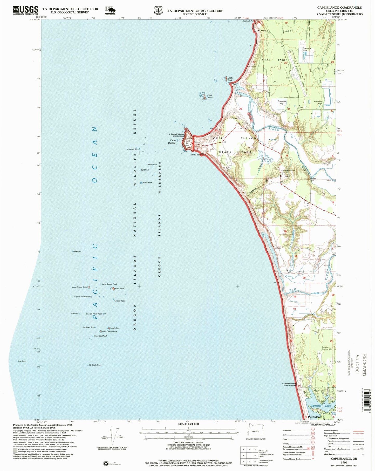
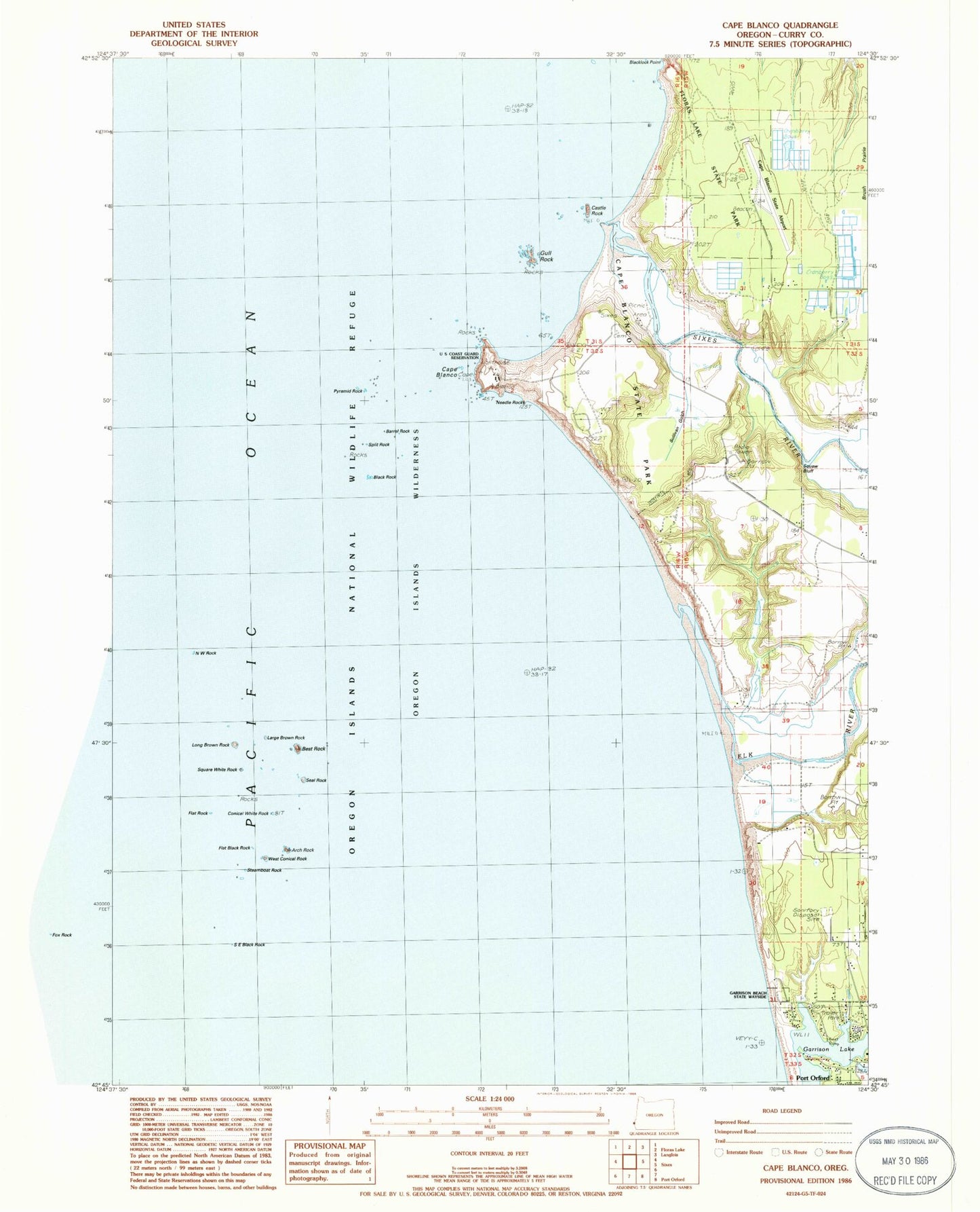
Classic USGS Cape Blanco Oregon 7.5'x7.5' Topo Map
Couldn't load pickup availability
Historical USGS topographic quad map of Cape Blanco in the state of Oregon. Map scale may vary for some years, but is generally around 1:24,000. Print size is approximately 24" x 27"
This quadrangle is in the following counties: Curry.
The map contains contour lines, roads, rivers, towns, and lakes. Printed on high-quality waterproof paper with UV fade-resistant inks, and shipped rolled.
Contains the following named places: Arch Rock, Barrel Rock, Best Rock, Black Rock, Blanco Reef, Buffington Memorial Park, Cape Blanco, Cape Blanco Lighthouse, Cape Blanco Mine, Cape Blanco State Airport, Cape Blanco State Park, Cape Blanco State Park Boat Ramp, Castle Rock, Conical White Rock, Elk River, Flat Black Rock, Flat Rock, Floras Lake State Park, Garrison Lake, Gull Rock, Historic Patrick Hughes House, Hughes Family Cemetery, Large Brown Rock, Long Brown Rock, Mill Creek, Needle Rock, Northwest Rock, Orford Reef, Paradise Point State Park, Port Orford Water Treatment Plant, Pyramid Rock, Seaforth Post Office, Seal Rock, Sixes Beach, Sixes River, Southeast Black Rock, Split Rock, Square White Rock, Squaw Bluff, Steamboat Rock, Tituna Spit, Tseriadum State Park, West Conical Rock


