MyTopo
Classic USGS Cape Charles Virginia 7.5'x7.5' Topo Map
Couldn't load pickup availability
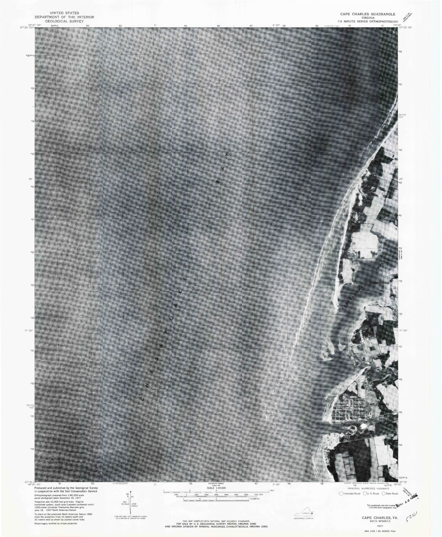
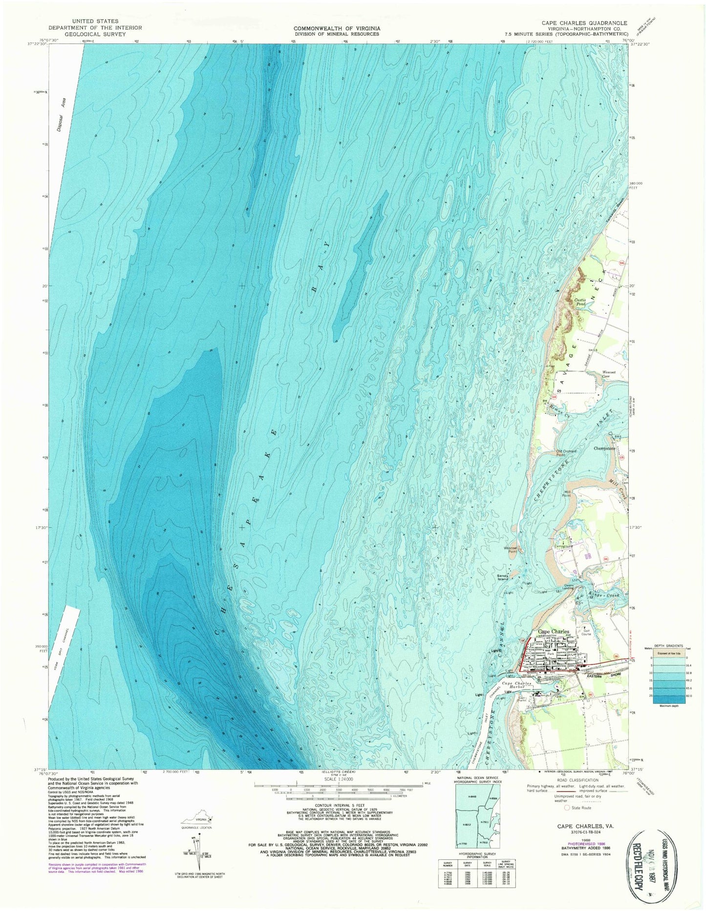
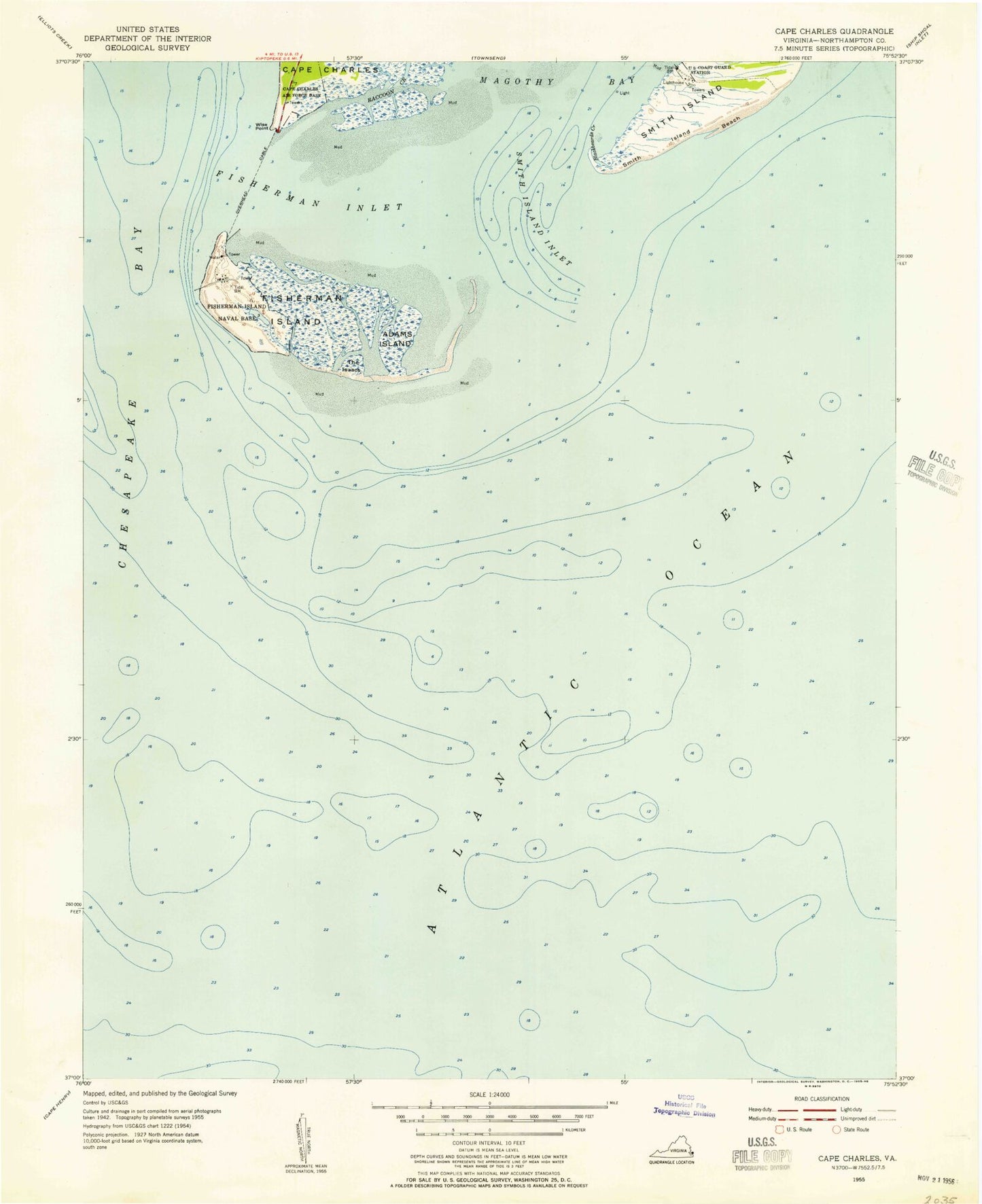
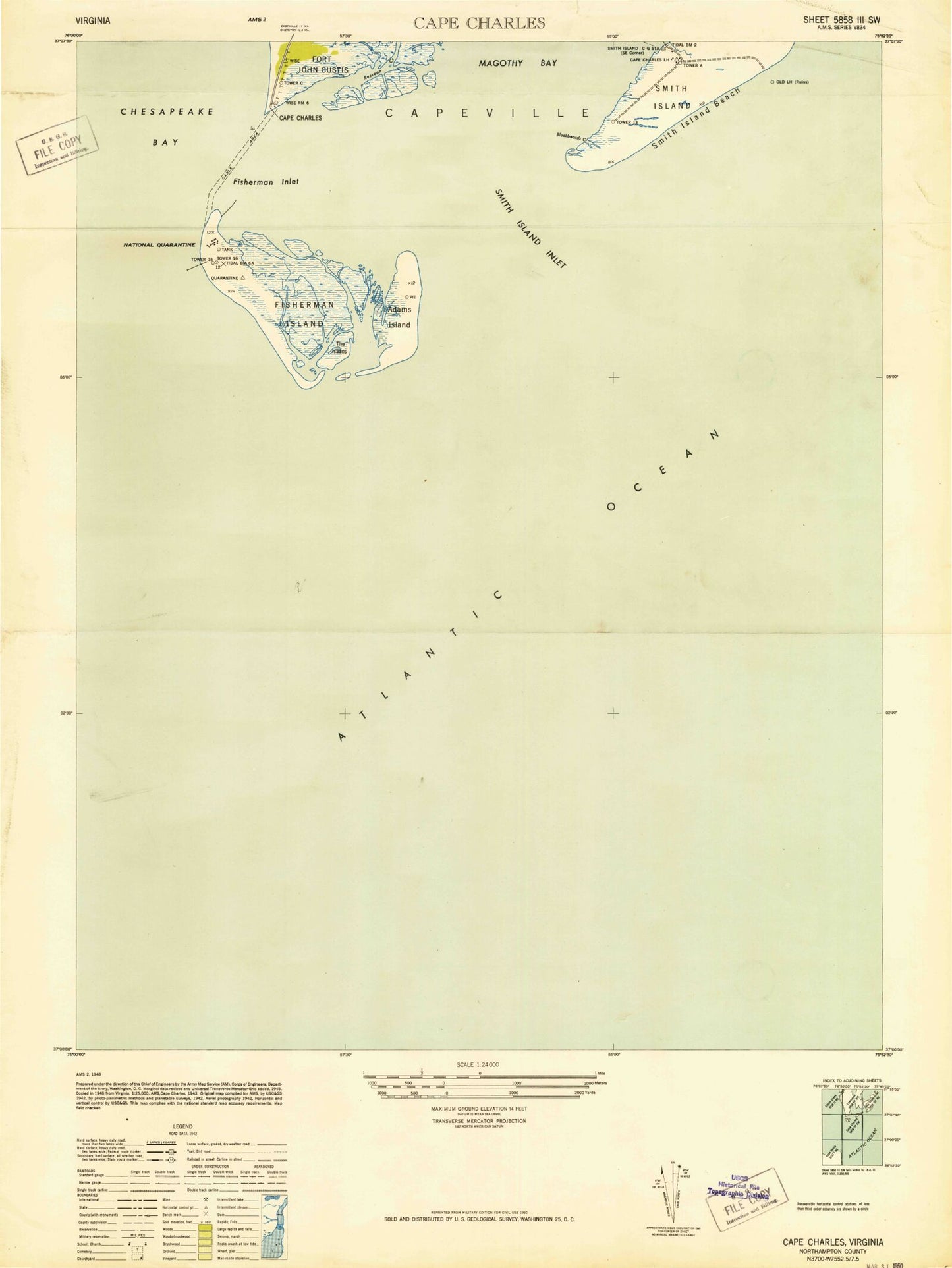
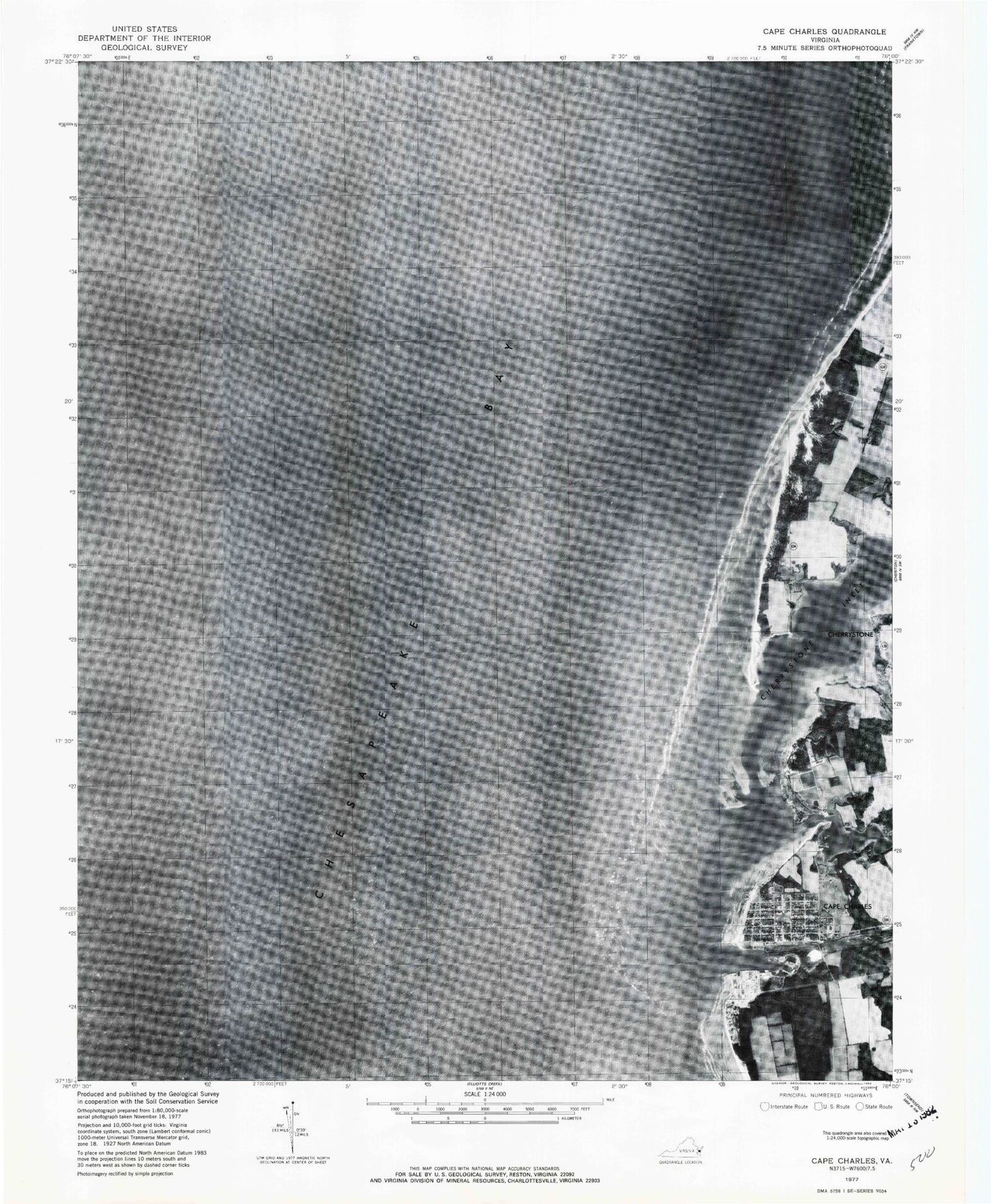
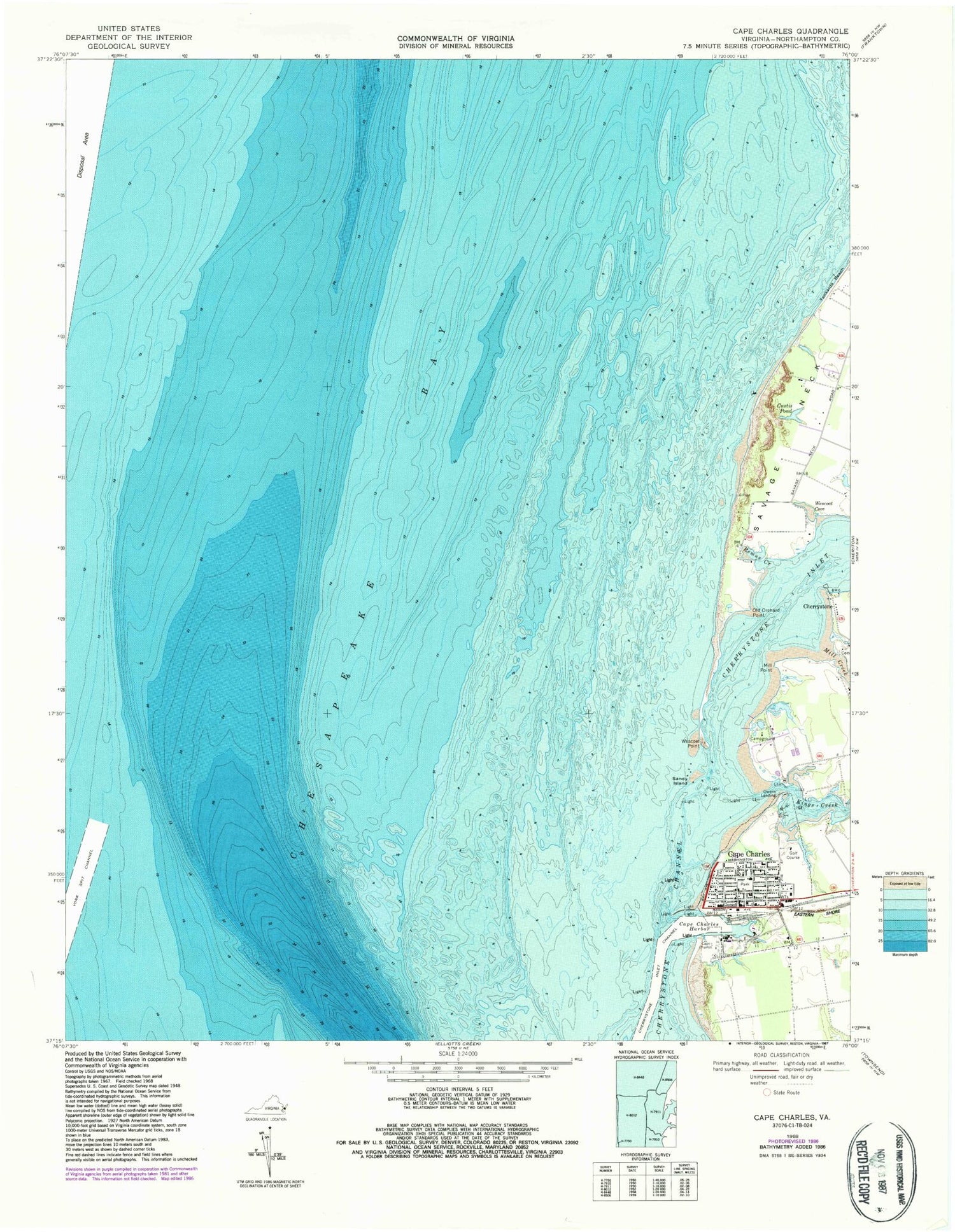
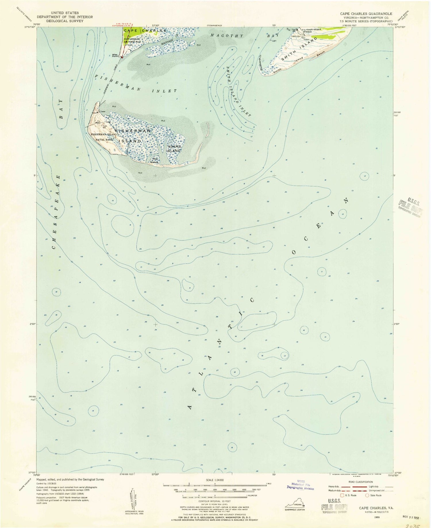
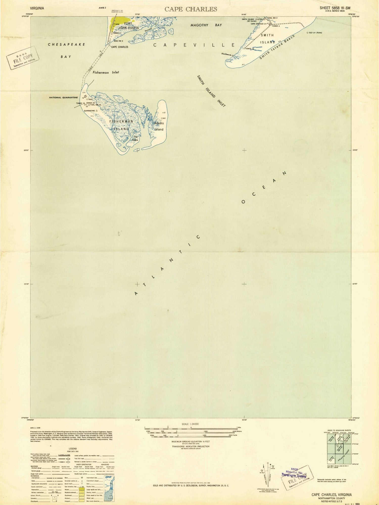
Historical USGS topographic quad map of Cape Charles in the state of Virginia. Map scale may vary for some years, but is generally around 1:24,000. Print size is approximately 24" x 27"
This quadrangle is in the following counties: Northampton.
The map contains contour lines, roads, rivers, towns, and lakes. Printed on high-quality waterproof paper with UV fade-resistant inks, and shipped rolled.
Contains the following named places: Bay Creek Marina, Baycreek Golf Club, Cape Charles, Cape Charles Baptist Church, Cape Charles City Harbor Northern Light, Cape Charles Country Club, Cape Charles Elementary School, Cape Charles Graded School, Cape Charles Harbor, Cape Charles Harbor Channel, Cape Charles Historic District, Cape Charles Historical Society Museum, Cape Charles Police Chief, Cape Charles Police Department, Cape Charles Post Office, Cape Charles Presbyterian Church, Cape Charles Town Hall, Cape Charles Volunteer Fire Company, Cherrystone, Cherrystone Bar Light, Cherrystone Channel Light 13, Cherrystone Inlet, Custis Pond, District 2, Emmanuel Episcopal Church, First Baptist Church, Holiness Church, Kings Creek, Mill Creek, Mill Point, North Jetty Light, Northampton Memorial Library, Old Orchard Point, Owens Landing, Point Farm Heliport, Remus Creek, Saint Charles Roman Catholic Church, Saint Stephens African Methodist Episcopal Church, Sandy Island, Savage Neck, School of the Holy Family, Tankards Beach, Town of Cape Charles, Trinity Methodist Church, Wescoat Cove, Wescoat Point, WKSV-FM (Cape Charles), York Spit Channel
