MyTopo
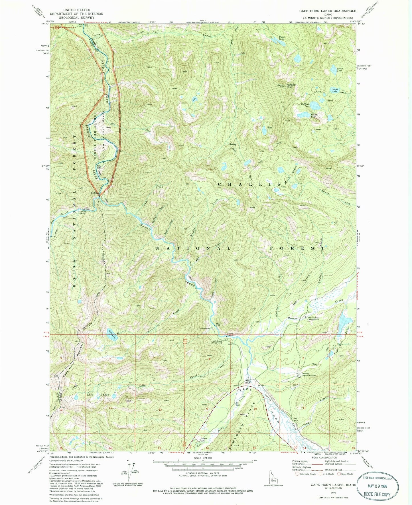
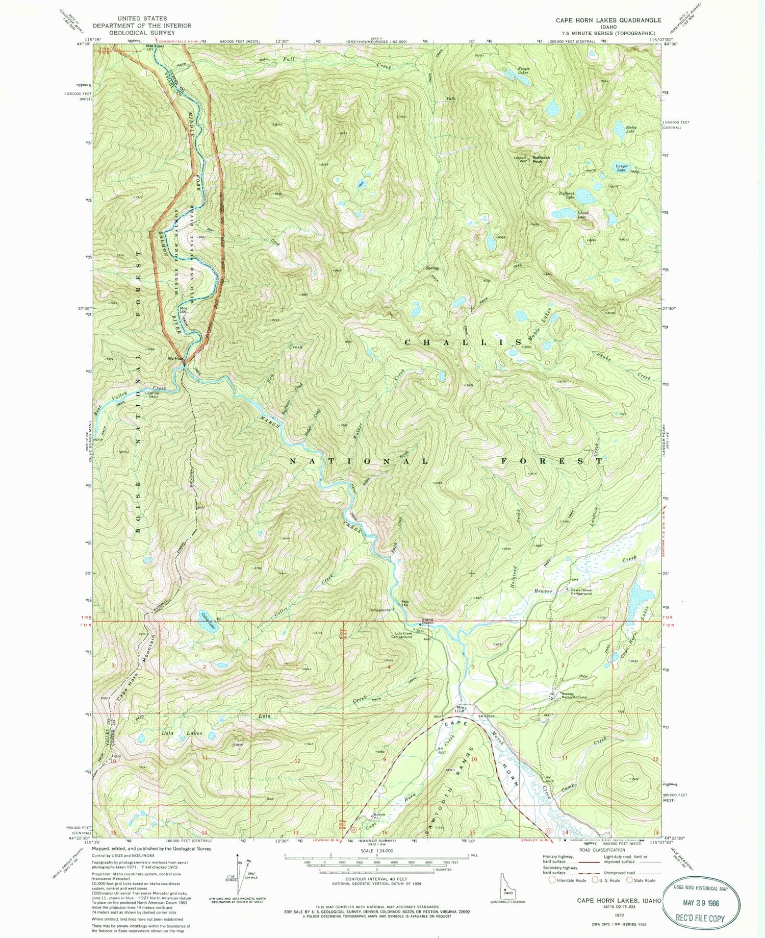
Classic USGS Cape Horn Lakes Idaho 7.5'x7.5' Topo Map
Couldn't load pickup availability
Historical USGS topographic quad map of Cape Horn Lakes in the state of Idaho. Typical map scale is 1:24,000, but may vary for certain years, if available. Print size: 24" x 27"
This quadrangle is in the following counties: Custer, Valley.
The map contains contour lines, roads, rivers, towns, and lakes. Printed on high-quality waterproof paper with UV fade-resistant inks, and shipped rolled.
Contains the following named places: Allen Creek, Bear Valley Creek, Beaver Creek, Beaver Creek Campground, Big Hole, Bradley Memorial Camp, Camp Creek, Cape Horn Creek, Cape Horn Mountain, Collie Creek, Collie Lake, Dodge Creek, Fall Creek, Finger Lakes, Halstead Creek, Huffman Creek, Island Lake, Jose Creek, Laidlow Creek, Langer Lake, Lola Creek, Lola Creek Campground, Lola Lakes, Marsh Creek, New Creek, Rocky Lake, Ruffneck Lake, Ruffneck Peak, Smith Creek, Walker Creek, Marsh Creek Transfer Camp, Cape Horn (historical), Cape Horn Lakes, Mable Lakes, Marsh Creek Recreation Site


