MyTopo
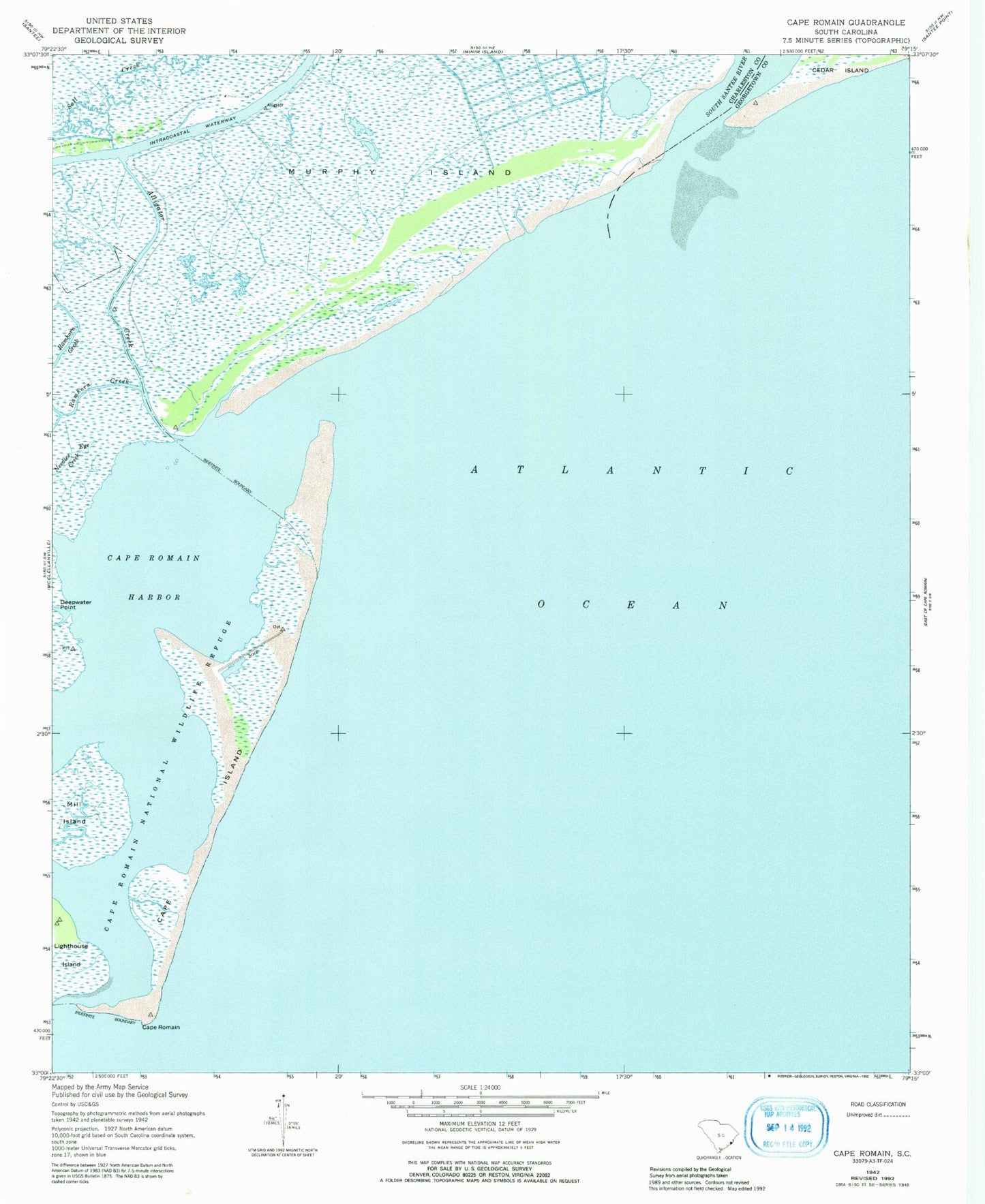
Classic USGS Cape Romain South Carolina 7.5'x7.5' Topo Map
Couldn't load pickup availability
Historical USGS topographic quad map of Cape Romain in the state of South Carolina. Map scale may vary for some years, but is generally around 1:24,000. Print size is approximately 24" x 27"
This quadrangle is in the following counties: Charleston, Georgetown.
The map contains contour lines, roads, rivers, towns, and lakes. Printed on high-quality waterproof paper with UV fade-resistant inks, and shipped rolled.
Contains the following named places: Alligator Creek, Cape Island, Cape Island Point, Cape Romain, Cape Romain Harbor, Cape Romain Lighthouses, Cedar Island Point, Cowpen Point, Deepwater Creek, Deepwater Point, Little Murphys Island, Mill Island, Murphy Island, Romain River, South Santee Inlet, South Santee River, The Horns